Theme hikes

Excitement, adventure and perhaps learning one or two things at the same time? This can be found on the theme trails around Engelberg. Go on a treasure hunt on Brunni or Trübsee or enjoy nature under your feet on the barefoot trail.

Nature Trailrecommended route

Brunni Trail

Nature Trail · Engelberg
Logo Engelberg-Titlis Tourismus
Responsible for this content
Engelberg-Titlis Tourismus Explorers Choice 
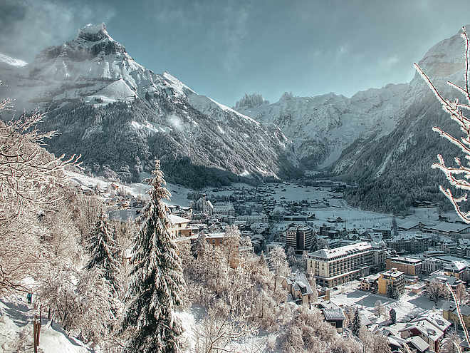
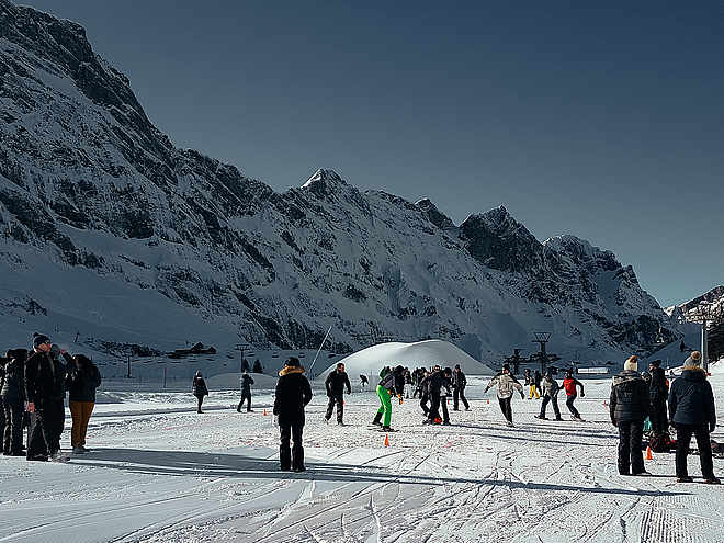
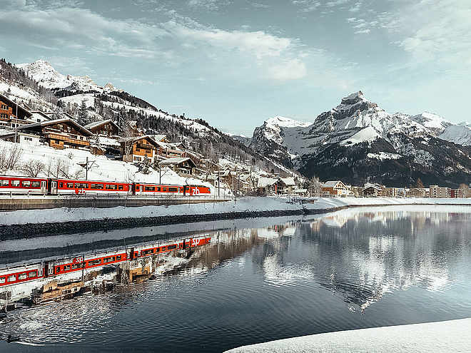
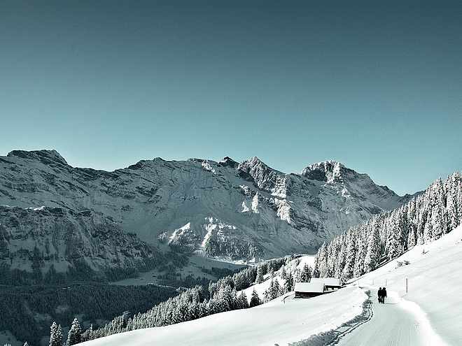
  • Photo: Engelberg - Titlis Tourismus, Engelberg-Titlis Tourismus
The Brunni Trail panoramic round walk is an educational trail through flowering alp pastures that offers unique views of the Titlis and surrounding peaks. This family-friendly walk can be completed a variety of ways.
easy
Distance 7.3 km
2:19 h
293 m
294 m
1,888 m
1,596 m
The panoramic round walk starts at the Ristis summit terminus of the Brunni cableway. This can easily be reached from Engelberg railway station using the free summer bus and the Brunni aerial cableway. The 7 km well-established educational nature trail turns right at Ristis towards Rigidalalp and on to the Brunnihütte refuge. This part of the trail has interpretation panels as well as clues for "Globi's Treasure Hunt". This family-oriented game involves using a special treasure map: help Globi find the treasure and you'll be rewarded at the end of the walk. Information and the treasure map may be obtained from the Ristis terminus. Walkers not participating in the game will probably be observing the flowery alp meadows. More than 100 plant species are described on the panels along the panoramic path.

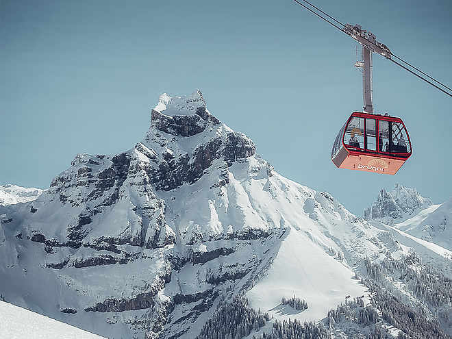
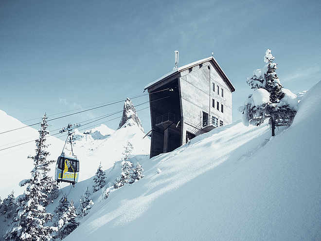
On arrival at the Brunnihütte refuge, you're met with splendid views of the Titlis and Hahnen, while Lake Härzli - which is encircled by a Kneipp foot hydrotherapy "tickle path" - is perfect for cooling tired feet, so shoes off! You'll find the next section of the round walk easier on the feet. You might like to eat something at the refuge: the menu alone is enough to make your mouth water, what with its traditional Swiss specialities such as rösti and alp cheese and homemade fruit tarts. Go on, you've earned a break!

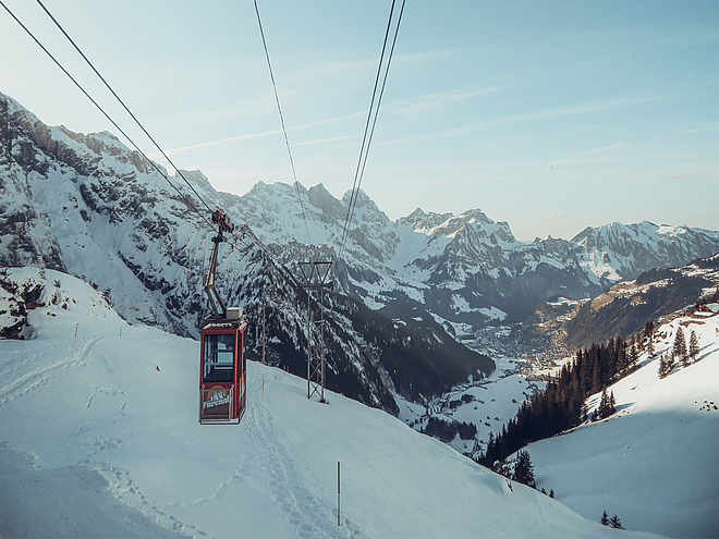
Thus fortified, it's time to turn back. The path remains on the same level as far as Rosenbold. Once at this vantage point, take a few snaps while you consult the panel describing the peaks on the skyline: you don't see a panorama like this every day. From now on it's downhill all the way back to Ristis. Take the cableway and bus back to the village.

Note: you can also walk between Engelberg and Ristis.

Profile picture of Engelberg - Titlis Tourismus
Author
Engelberg - Titlis Tourismus 
Update: December 13, 2020
Difficulty
easy
Stamina
Experience
Landscape
Highest point
1,888 m
Lowest point
1,596 m
Best time of year
Jan
Feb
Mar
Apr
May
Jun
Jul
Aug
Sep
Oct
Nov
Dec

Track types

Show elevation profile

Start

Ristis
Coordinates:
SwissGrid
2'673'904E 1'187'264N
DD
46.832424, 8.407324
DMS
46°49'56.7"N 8°24'26.4"E
UTM
32T 454800 5186712
w3w 
///table.digests.whom

Destination

Ristis

Turn-by-turn directions

Ristis-Rigidalstafel-Brunnihütte SAC refuge-Sädelegg-Ristis

Public transport

National and international connections to Lucerne, e.g. trains every half-hour from Zurich airport; travel time around 1 hr. Then a 43-minute journey on the Zentralbahn railway through ever-changing scenery and gorges up to Engelberg.

Directions

By car: take the A2 Basel-Gotthard motorway to "Stans Süd", then the main road for 20 km to Engelberg. Engelberg is 30 minutes' drive from Lucerne or 75 minutes from Basel, Zurich or Bern.

Parking

Fee-paying car parks are available in Engelberg.

Coordinates

SwissGrid
2'673'904E 1'187'264N
DD
46.832424, 8.407324
DMS
46°49'56.7"N 8°24'26.4"E
UTM
32T 454800 5186712
w3w 
///table.digests.whom
Get there by train, car, bike, or on foot!

Similar routes nearby

  • Globis Treasurehunt
  • Barefoot hiking trail Brunni
  • Tickle Path
  • Alpkäse-Trail
  • Alpine Cheese Trail Blackenalp section
 These suggestions were generated by our system
Difficulty
easy
Distance
7.3 km
Duration
2:19 h
Ascent
293 m
Descent
294 m
Highest point
1,888 m
Lowest point
1,596 m
Round tripRefreshment stops availableCableway ascent/descent

Weather at the route's trailhead

Statistics

  • Content
  • Show imagesHide images
Features
Maps and trails
  • 21 Waypoints
  • 21 Waypoints
Distance km
Duration: h
Ascent m
Descent m
Highest point m
Lowest point m
Push the arrows to change the view