CROSS-COUNTRY SKIING TRACKS
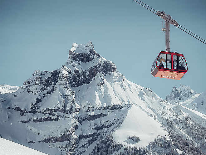
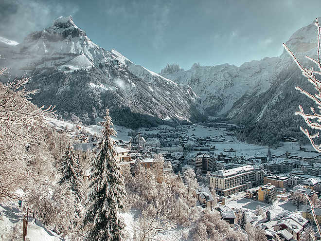
Well-prepared cross-country trails are at your disposal in Engelberg. If you tackle the tracks in the valley, you start and finish at the Sporting Park, where there are also cloakrooms with showers and a restaurant. As an option you can also park at the Brunni lifts and get into the valley tracks perfectly. You can reach the cross-country skiing area on Gerschnialp via the funicular and it is best to use the TITLIS Xpress car park.
Gerschnialp track

Engelberg-Titlis Tourismus Explorers Choice
 Photo: Engelberg - Titlis Tourismus, Engelberg-Titlis Tourismus
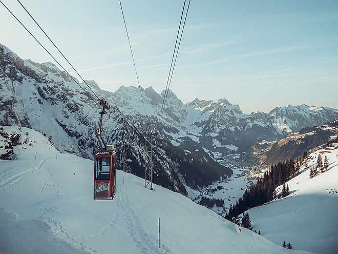
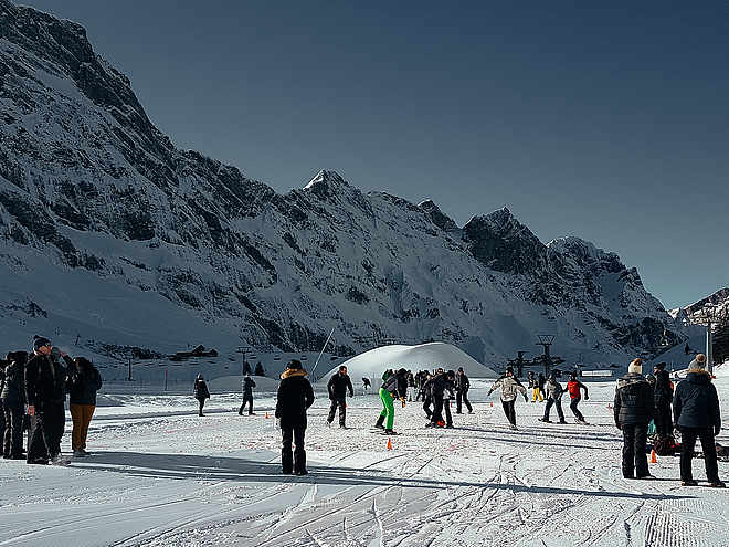
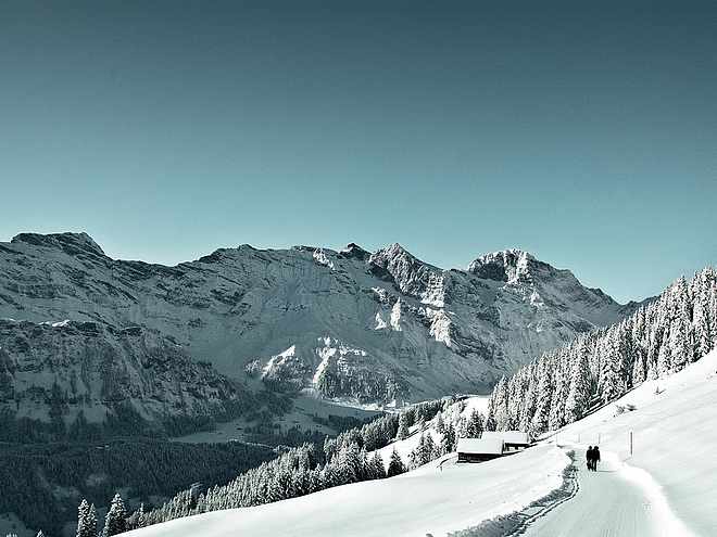
From the Titlis valley station, the funicular railway quickly takes cross-country skiers up to the winter wonderland on Gerschnialp. The varied route starts close to Gerschnialp mountain station. A small shuttle bus is available to take you to the starting point, but more skilled skiers might like to tackle those few metres themselves.
Once you have donned your skis, you can set off through the sparse woodland. The snow muffles the sound of the swishing skis, allowing you to drink in the tranquillity of nature. Every now and again there are short, intense climbs that get your heart pumping and clouds of your breath floating skywards.
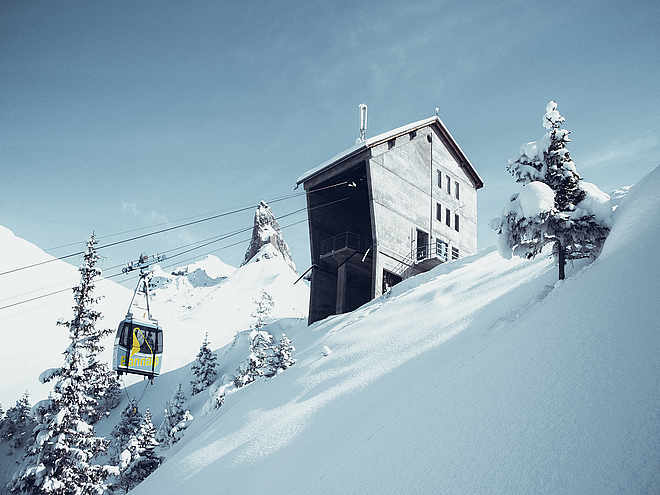
Time for a break? Then pop into Café Ritz in Gasthaus Gerschnialp, conveniently situated right by the trail, for a nice warming cup of tea. Once your fingers have defrosted you’ll have your breath back and be ready to take on the slightly downhill section towards Untertrübsee. At the end of this delightful workout, the funicular will take you back down to the valley.
Author’s recommendation
You can purchase a Cross-Country Pass (Loipenpass) along with your railway ticket at the valley station or in the tourist information centre. Guest Card holders can use the trail free of charge.
The Gasthaus Gerschnialp - Café Ritz right next to the cross-country ski trail invites you to take a breather.

Track types
Show elevation profileTips and hints
Start
Destination
Public transport
National and international connections (from Zurich airport connections every half hour with approx. 1h travel time) to Lucerne. Afterwards with the Zentralbahn in 43 minutes through varied landscape and gorges up to Engelberg.Directions
Take the Motorway A2 (Basel-Luzern-Gotthard) to Stans-south. From there follow the main road for 20 km to Engelberg. Engelberg is about 30 minutes from Lucerne. From Zurich you need about 1 h 15 min, and from Bern or Basel approximatly 1 h 45 min.Parking
Parking spaces are available in Engelberg for a fee.Coordinates
Equipment
The cross-country skiing equipment can be rented in the sports shops in Engelberg.