CROSS-COUNTRY SKIING TRACKS
Well-prepared cross-country trails are at your disposal in Engelberg. If you tackle the tracks in the valley, you start and finish at the Sporting Park, where there are also cloakrooms with showers and a restaurant. As an option you can also park at the Brunni lifts and get into the valley tracks perfectly. You can reach the cross-country skiing area on Gerschnialp via the funicular and it is best to use the TITLIS Xpress car park.
Heart track
Cross-Country Skiing · Engelberg

Responsible for this content
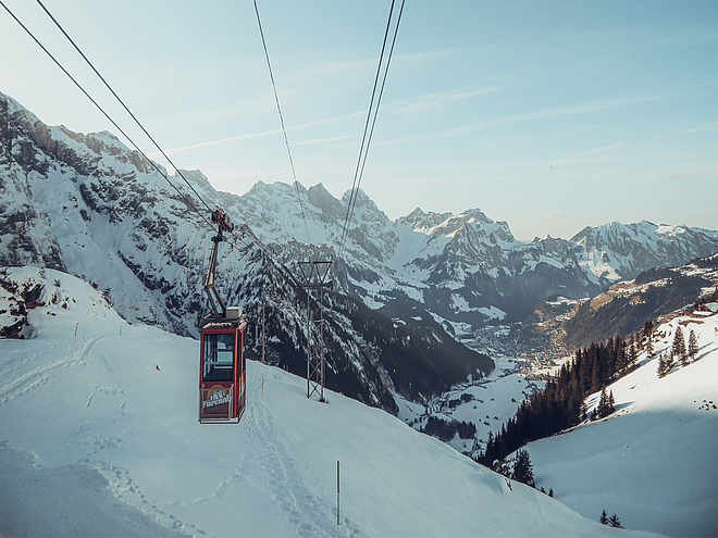
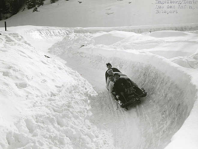
Engelberg-Titlis Tourismus Explorers Choice
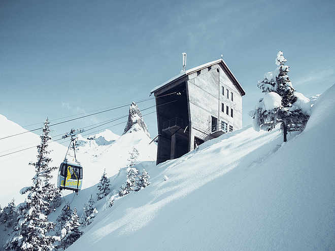
Engelberg-Titlis Tourismus Explorers Choice
 Photo: Engelberg - Titlis Tourismus, Engelberg-Titlis Tourismus
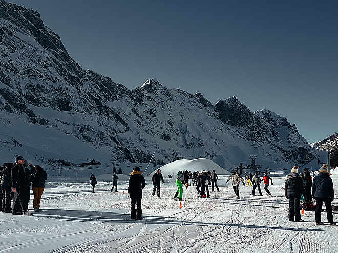
The Heart track is a short cross-country ski run without slopes and is especially suitable for cross-country ski beginners and anyone who wants to do something for their heart health.
easy
Distance 4.2 km
0:35 h
23 m
23 m
1,025 m
1,002 m
The 4.2 km Heart track starts near the car park at Werkhof Wyden. The short lap is particularly suitable for comfortable cross-country skiers who prefer a short distance, or for optimal running technique training.

Author
Engelberg - Titlis Tourismus Update: March 16, 2021
Difficulty
easy
Stamina
Experience
Landscape
Highest point
1,025 m
Lowest point
1,002 m
Best time of year
Jan
Feb
Mar
Apr
May
Jun
Jul
Aug
Sep
Oct
Nov
Dec
Track types
Show elevation profileTips and hints
Start
Engelberg Nordic Center
Coordinates:
SwissGrid
2'673'772E 1'185'703N
DD
46.818390, 8.405348
DMS
46°49'06.2"N 8°24'19.3"E
UTM
32T 454638 5185154
w3w
///slide.scavenger.dentures
Destination
Engelberg Nordic Center
Public transport
National and international connections (from Zurich airport connections every half hour with approx. 1h travel time) to Lucerne. Afterwards with the Zentralbahn in 43 minutes through varied landscape and gorges up to Engelberg.National and international connections (from Zurich airport connections every half hour with approx. 1h travel time) to Lucerne. Afterwards with the Zentralbahn in 43 minutes through varied landscape and gorges up to Engelberg.Directions
Take the Motorway A2 (Basel-Luzern-Gotthard) to Stans-south. From there follow the main road for 20 km to Engelberg. Engelberg is about 30 minutes from Lucerne. From Zurich you need about 1 h 15 min, and from Bern or Basel approximatly 1 h 45 min.Parking
Parking spaces are available in Engelberg for a fee.Coordinates
SwissGrid
2'673'772E 1'185'703N
DD
46.818390, 8.405348
DMS
46°49'06.2"N 8°24'19.3"E
UTM
32T 454638 5185154
w3w
///slide.scavenger.dentures
Get there by train, car, bike, or on foot!
Equipment
The cross-country skiing equipment can be rented in the sports shops in Engelberg.
Difficulty
easy
Distance
4.2 km
Duration
0:35 h
Ascent
23 m
Descent
23 m
Highest point
1,025 m
Lowest point
1,002 m
Weather at the route's trailhead
Statistics
Maps and trails
Distance km
Duration: h
Ascent m
Descent m
Highest point m
Lowest point m