CROSS-COUNTRY SKIING TRACKS
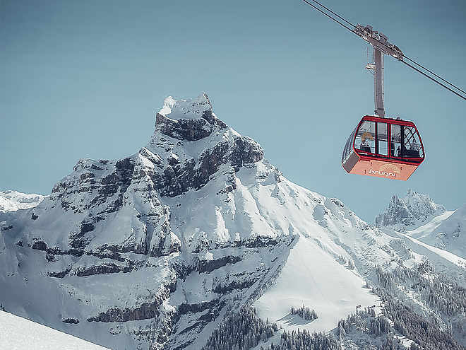
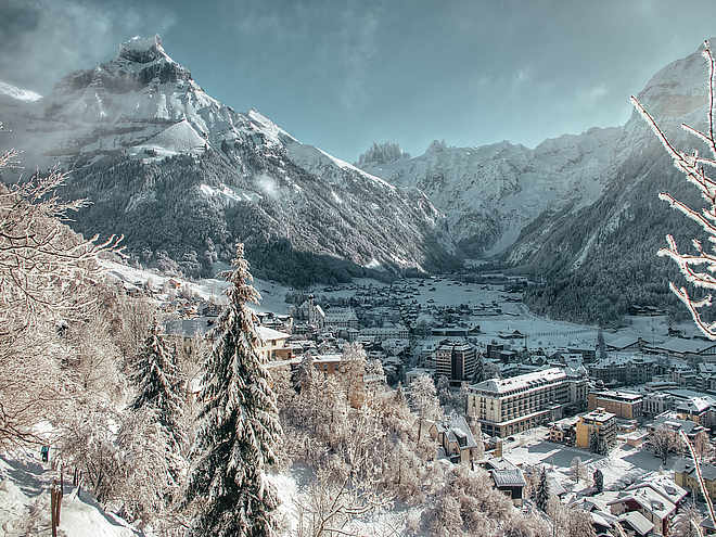
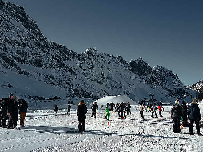
Well-prepared cross-country trails are at your disposal in Engelberg. If you tackle the tracks in the valley, you start and finish at the Sporting Park, where there are also cloakrooms with showers and a restaurant. As an option you can also park at the Brunni lifts and get into the valley tracks perfectly. You can reach the cross-country skiing area on Gerschnialp via the funicular and it is best to use the TITLIS Xpress car park.
Valley track
Cross-Country Skiing · Engelberg

Responsible for this content
Engelberg-Titlis Tourismus Explorers Choice
Engelberg-Titlis Tourismus Explorers Choice
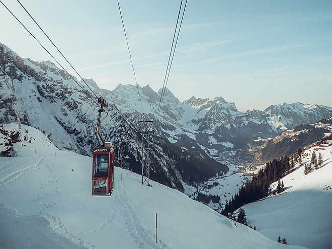
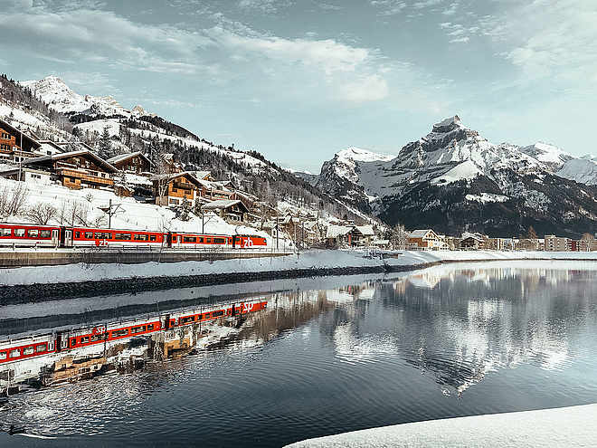
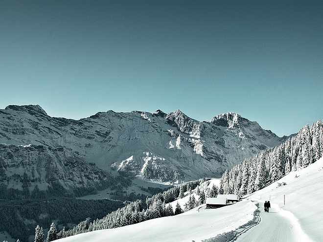
Cross-country skiing with a view - not only the exertions take your breath away in between, but also the view of the impressive mountain world will amaze you.
Skating, Classic
easy
Distance 9 km
1:00 h
83 m
83 m
1,086 m
1,003 m
At Engelberg railway station, the free local bus is available for winter sports enthusiasts and takes them to the various starting points. For cross-country skiers, the stop to remember is called "Sportingpark". It can also be reached on foot in 5 minutes from the station, and is the starting point for the valley cross-country ski run. In addition to a cloakroom, it also offers shower and catering facilities. Ready for the varied cross-country trail with various routes in the Engelberg Valley? Whether classic or skating, sporty or cosy, the tracks through the valley offer something for everyone. At first you glide flat, only slightly up the Engelberger Aa to the golf course. There you will also find the first stop for refreshments, the Restaurant Eienwäldli, where you can fortify yourself. The second place to stop is the Restaurant Wasserfall, which is also right next to the trail and is ideal for a refreshment stop. Afterwards it is only a short distance to the valley station of the Fürenalp cable car. From here you can either make an additional loop over the more demanding Herrenrüti cross-country ski run or glide downhill back to Engelberg. A cross-country pass is required for the cross-country ski runs in Engelberg. Guests staying overnight use the cross-country ski runs with the guest card free of charge.
Author’s recommendation
The valley trail is divided into several short sections, which can also be run separately. A cross-country trail map with all possibilities is available in the Sportingpark or in the Tourist Center.

Author
Engelberg - Titlis Tourismus Update: November 03, 2021
Difficulty
easy
Stamina
Experience
Landscape
Highest point
1,086 m
Lowest point
1,003 m
Best time of year
Jan
Feb
Mar
Apr
May
Jun
Jul
Aug
Sep
Oct
Nov
Dec
Track types
Show elevation profileTips and hints
Start
Engelberg Nordic Center
Coordinates:
SwissGrid
2'673'793E 1'185'700N
DD
46.818366, 8.405619
DMS
46°49'06.1"N 8°24'20.2"E
UTM
32T 454658 5185151
w3w
///vitals.gifted.tweezers
Destination
Engelberg Nordic Center
Public transport
National and international connections (from Zurich airport connections every half hour with approx. 1h travel time) to Lucerne. Afterwards with the Zentralbahn in 43 minutes through varied landscape and gorges up to Engelberg.National and international connections (from Zurich airport connections every half hour with approx. 1h travel time) to Lucerne. Afterwards with the Zentralbahn in 43 minutes through varied landscape and gorges up to Engelberg.Directions
Take the Motorway A2 (Basel-Luzern-Gotthard) to Stans-south. From there follow the main road for 20 km to Engelberg. Engelberg is about 30 minutes from Lucerne. From Zurich you need about 1 h 15 min, and from Bern or Basel approximatly 1 h 45 min.Parking
Parking spaces are available in Engelberg for a fee.Coordinates
SwissGrid
2'673'793E 1'185'700N
DD
46.818366, 8.405619
DMS
46°49'06.1"N 8°24'20.2"E
UTM
32T 454658 5185151
w3w
///vitals.gifted.tweezers
Get there by train, car, bike, or on foot!
Equipment
The cross-country skiing equipment can be rented in the sports shops in Engelberg.
Cross-country skiing technique
Skating, Classic
Difficulty
easy
Distance
9 km
Duration
1:00 h
Ascent
83 m
Descent
83 m
Highest point
1,086 m
Lowest point
1,003 m
Weather at the route's trailhead
Statistics
Maps and trails
Distance km
Duration: h
Ascent m
Descent m
Highest point m
Lowest point m


