Snowshoe trails

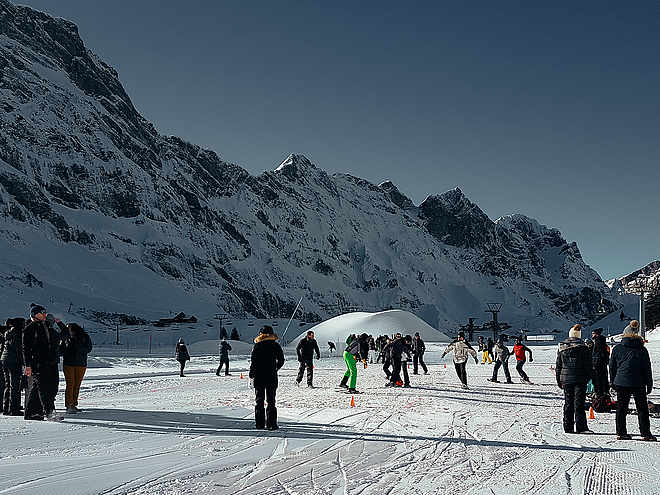
Well-marked snowshoe trails offer you the opportunity to explore Engelberg's pristine terrain. Rental equipment is available in the local sports shops or directly at the cable car stations. All you need to bring is a bit of fitness, waterproof boots, breathable clothing and small backpack for a drink, sun protection and, if necessary, a change of clothes.

Snowshoeingrecommended route

Snowshoe Trail Bannalp

Snowshoeing · Switzerland
Logo Engelberg-Titlis Tourismus
Responsible for this content
Engelberg-Titlis Tourismus Explorers Choice 
  • Bannalp
    Bannalp
    Photo: Engelberg - Titlis Tourismus, Engelberg-Titlis Tourismus
The Bannalp is a secret gem in the Engelberg Valley. The circular snowshoe trail offers a wonderful backdrop.
Distance 2.6 km
0:55 h
94 m
92 m
1,718 m
1,624 m

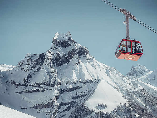
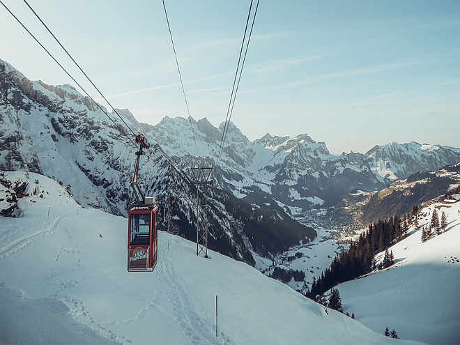
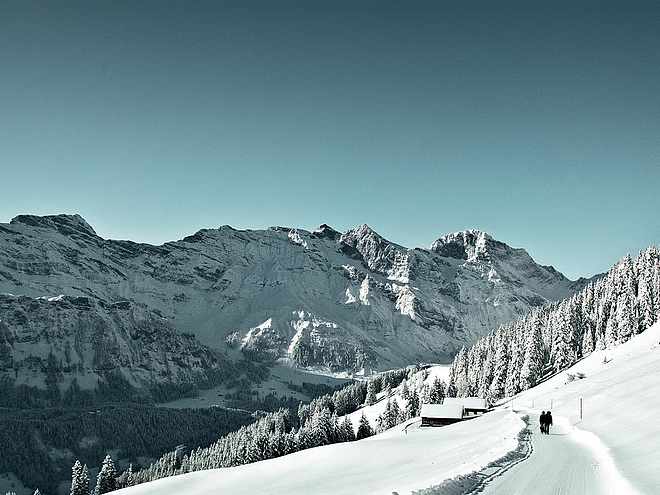
The journey up to the small Bannalp wintersports area begins in Oberrickenbach in the lower part of the Engelberg Valley. The «s’blaiä Bähnli» gondola will take you to the starting point of the circular snowshoe hike, which is an easy walk for anyone of average fitness. At the mountain station of the Fell–Chrüzhütte Bannalp cableway you will immediately notice the jagged profile of Bannalp’s famous landmark, the Bietstock. With your back to the prominent peak, you follow the snowshoe trail slightly downhill through the snowy woods to the Bannalp reservoir. Before you loom the peaks of Gross Walenstock and Klein Walenstock, towering majestically over the alpine meadow.

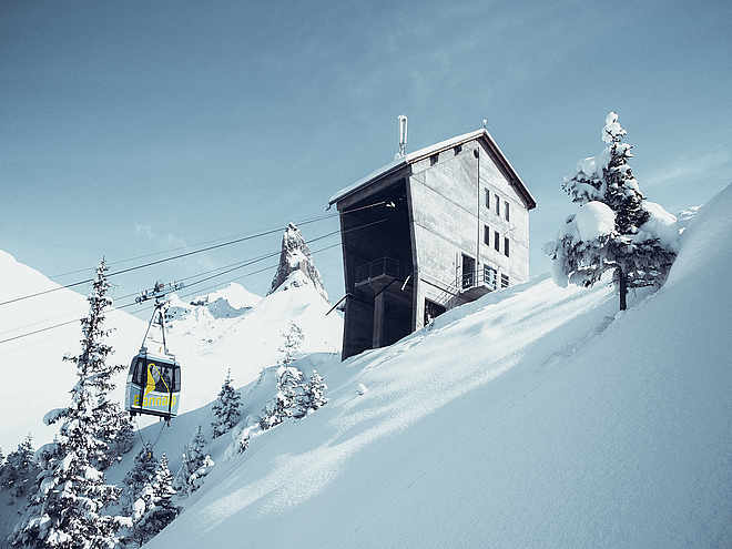
Looking down, you will see the frozen lake, covered in snow. This reservoir has provided the canton of Nidwalden with hydroelectricity since the 1930s. Next, you pass through sparse conifer woodland, with the Bannalp stream on your right, and the path climbs steadily but gently upwards to the Urnerstaffel mountain inn. Here, cold feet and hands can be thawed over a cup of hot tea before returning to the starting point via open terrain.

Author’s recommendation

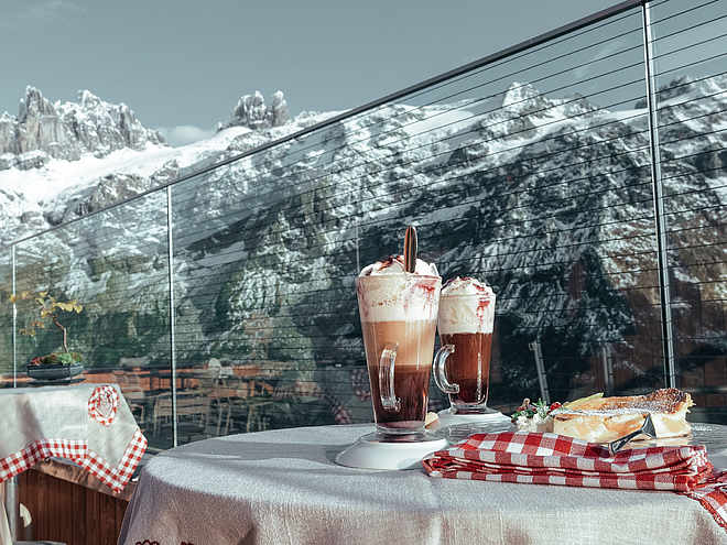
Enjoy snowshoeing by moonlight with raclette fun in the mountain guesthouse Urnerstaffel.

Profile picture of Engelberg - Titlis Tourismus
Author
Engelberg - Titlis Tourismus 
Update: October 25, 2019
Highest point
1,718 m
Lowest point
1,624 m
Best time of year
Jan
Feb
Mar
Apr
May
Jun
Jul
Aug
Sep
Oct
Nov
Dec

Track types

Show elevation profile

Safety information

Please walk along the marked and secured snowshoe paths. The user is responsible for the proposed routes. If you are planning a different route, please refer to the avalanche bulletin, maps and weather forecast.

Tips and hints

Map

Prices

Start

Bannalp mountain station
Coordinates:
SwissGrid
2'675'978E 1'191'655N
DD
46.871685, 8.435249
DMS
46°52'18.1"N 8°26'06.9"E
UTM
32T 456961 5191059
w3w 
///journals.unopposed.laptop

Destination

Bannalp mountain station

Turn-by-turn directions

Das Gebiet Wolfenschiessen - Bannalp erreichen Sie in ca. 15-20 in. per Auto oder mit dem öffentlichen Verkehr ab Engelberg oder ab Stans.

Public transport

The Wolfenschiessen - Bannalp area can be reached in approx. 15-20 minutes by public transport from Engelberg or Stans.

Directions

The Wolfenschiessen - Bannalp area can be reached in approx. 15-20 min. by car from Engelberg or from Stans.

Parking

Parking is possible at the Bannalp valley station.

Coordinates

SwissGrid
2'675'978E 1'191'655N
DD
46.871685, 8.435249
DMS
46°52'18.1"N 8°26'06.9"E
UTM
32T 456961 5191059
w3w 
///journals.unopposed.laptop
Get there by train, car, bike, or on foot!

Equipment

Snowshoes can be hired directly at the valley station. You must bring your own winter clothing, sturdy shoes and sun protection.

Similar routes nearby

  • Riedalp-Trail Brunni
  • Schönenboden-Trail Brunni
  • Gerschnialp-Untertrübsee Trail
  • Titlis Trail Fürenalp
  • Grotzli Trail Fürenalp
 These suggestions were generated by our system
Distance
2.6 km
Duration
0:55 h
Ascent
94 m
Descent
92 m
Highest point
1,718 m
Lowest point
1,624 m
Refreshment stops availableRound tripInsider tip
1600 m1800 m
Morning
1600 m1800 m
Afternoon

Avalanche conditions

·

Weather at the route's trailhead

Statistics

  • Content
  • Show imagesHide images
Features
Maps and trails
Distance km
Duration: h
Ascent m
Descent m
Highest point m
Lowest point m
Push the arrows to change the view