Snowshoe trails

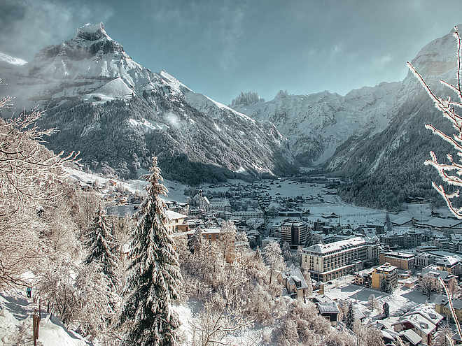
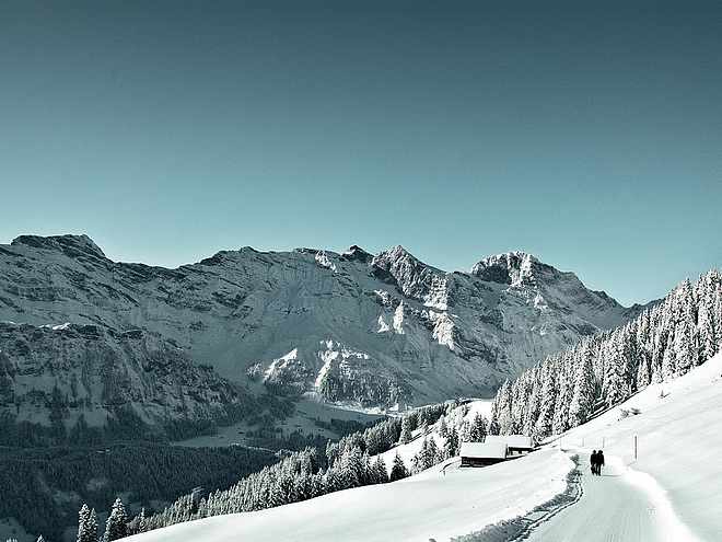
Well-marked snowshoe trails offer you the opportunity to explore Engelberg's pristine terrain. Rental equipment is available in the local sports shops or directly at the cable car stations. All you need to bring is a bit of fitness, waterproof boots, breathable clothing and small backpack for a drink, sun protection and, if necessary, a change of clothes.

Snowshoeingrecommended route

Titlis Trail Fürenalp

Snowshoeing · Engelberg
Logo Engelberg-Titlis Tourismus
Responsible for this content
Engelberg-Titlis Tourismus Explorers Choice 
  • Photo: Engelberg - Titlis Tourismus, Engelberg-Titlis Tourismus
Feeling transported back in time and enjoying the silence of nature away from the hustle and bustle - this is what the Titlis Trail on Fürenalp makes possible.
easy
Distance 2 km
0:45 h
104 m
65 m
1,899 m
1,816 m
The tranquillity of nature and pure winter fun await all snowshoe enthusiasts at Fürenalp. From Engelberg railway station, the free local bus takes you to the Fürenalp valley station. If required, snowshoes and ski poles can also be hired here. The red 8-seater cabin of the "Buiräbähnli" (cableway) takes you to Fürenalp, the starting point of the 2.3 kilometre snowshoe tour. With its topography it is also suitable for beginners and children. It starts immediately to the left at the mountain station. This part of the trail offers a magnificent view of the Titlis and its glacier. You have to have your camera ready and soak up the silence of nature. After one kilometre, half of the snowshoe tour is over and everything goes slightly downhill back to the starting point. Arrived at the mountain restaurant, the warm parlour invites you to warm up and feast. Back to the valley we take again the nostalgic cableway.

Author’s recommendation

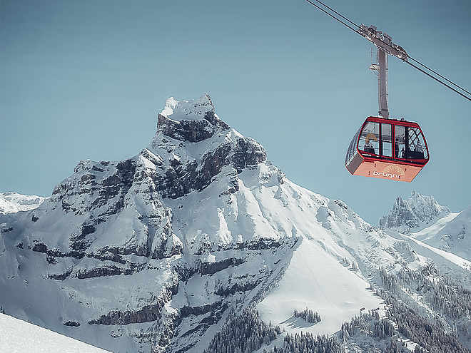
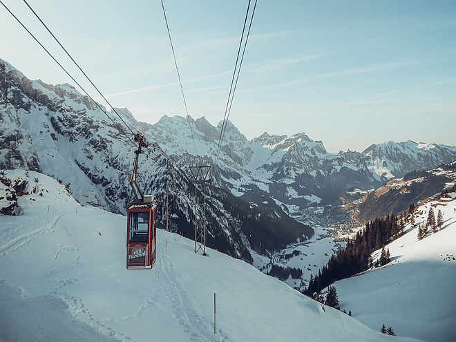
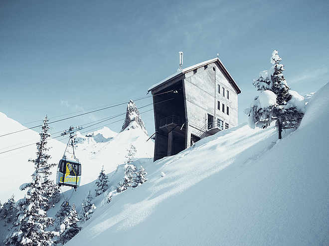
After a nice snowshoe hike in the Fürenalp region you can let yourself be spoiled in the mountain restaurant Fürenalp.

In winter, children up to the age of 16 accompanied by an adult travel free of charge.

Profile picture of Engelberg - Titlis Tourismus
Author
Engelberg - Titlis Tourismus 
Update: March 16, 2022
Difficulty
easy
Stamina
Experience
Landscape
Highest point
1,899 m
Lowest point
1,816 m
Best time of year
Jan
Feb
Mar
Apr
May
Jun
Jul
Aug
Sep
Oct
Nov
Dec
Cardinal direction
NESW

Track types

Show elevation profile

Safety information

Please walk along the marked and secured snowshoe paths. The user is responsible for the proposed routes. If you are planning a different route, please refer to the avalanche bulletin, maps and weather forecast.

Due to the current snow and avalanche situation, the route may differ from the GPS data. It is recommended to follow the pink marker posts.

Tips and hints

Prices
Opening hours

Snow report

Gastronomy

Start

Fürenalp mountain station
Coordinates:
SwissGrid
2'678'621E 1'183'846N
DD
46.801139, 8.468564
DMS
46°48'04.1"N 8°28'06.8"E
UTM
32T 459447 5183202
w3w 
///stared.snowstorm.developed

Destination

Fürenalp mountain station

Turn-by-turn directions

Fürenalp-Hinter Fürrren-Fürenalp

Public transport

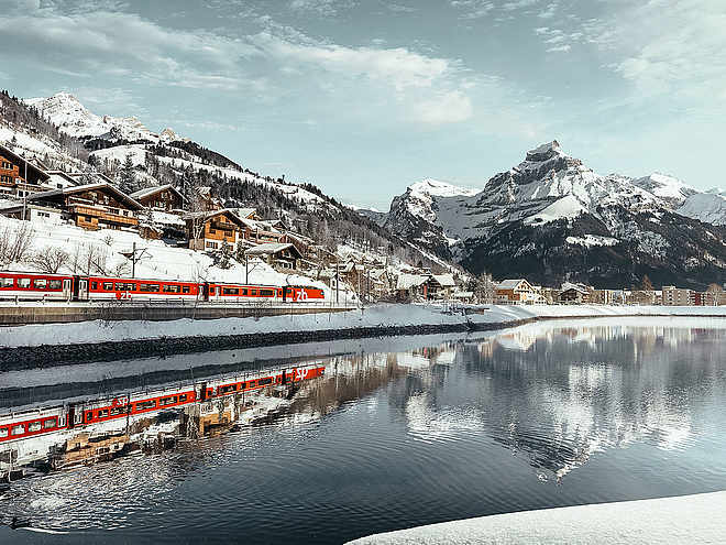
National and international connections (from Zurich airport connections every half hour with approx. 1h travel time) to Lucerne. Afterwards with the Zentralbahn in 43 minutes through varied landscape and gorges up to Engelberg.

From Engelberg railway station, a free bus runs every half hour to the Fürenalp valley station.

https://www.fuerenalp.ch/en/direction

Directions

Take the Motorway A2 (Basel-Luzern-Gotthard) to Stans-south. From there follow the main road for 20 km to Engelberg. Engelberg is about 30 minutes from Lucerne. From Zurich you need about 1 h 15 min, and from Bern or Basel approximatly 1 h 45 min.

https://www.fuerenalp.ch/en/direction

Parking

Parking is available for CHF 5.- per Day at the Fürenalp valley station.

Coordinates

SwissGrid
2'678'621E 1'183'846N
DD
46.801139, 8.468564
DMS
46°48'04.1"N 8°28'06.8"E
UTM
32T 459447 5183202
w3w 
///stared.snowstorm.developed
Get there by train, car, bike, or on foot!

Equipment

Rent your equipment in the local sports shops.

Snowshoes and ski poles can also be hired at the valley station.

Similar routes nearby

  • Grotzli Trail Fürenalp
  • Obertrübsee Trail
  • Schönenboden-Trail Brunni
  • Riedalp-Trail Brunni
  • Gerschnialp-Untertrübsee Trail
 These suggestions were generated by our system
Difficulty
easy
Distance
2 km
Duration
0:45 h
Ascent
104 m
Descent
65 m
Highest point
1,899 m
Lowest point
1,816 m
Round tripRefreshment stops available
1600 m1800 m
Morning
1600 m1800 m
Afternoon

Avalanche conditions

·

Weather at the route's trailhead

Statistics

  • Content
  • Show imagesHide images
Features
Maps and trails
Distance km
Duration: h
Ascent m
Descent m
Highest point m
Lowest point m
Push the arrows to change the view