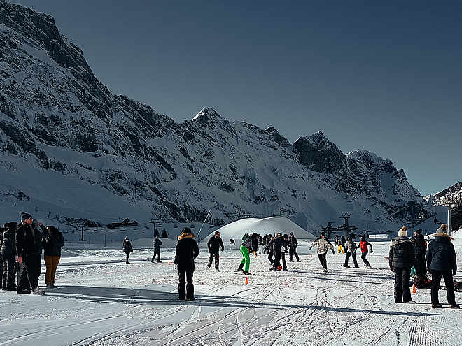
The fascination of ski touring has caught you and you are looking for routes or want to start your first tours this winter? In and around Engelberg there are a variety of ski tours with different levels of difficulty. In the front Engelberg valley, the small rustic Buiräbähnli offer you "start help" on request to get to the starting point of your ski tour.
Responsible for this content Engelberg-Titlis Tourismus Explorers Choice
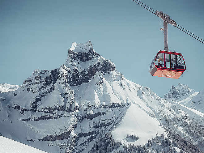
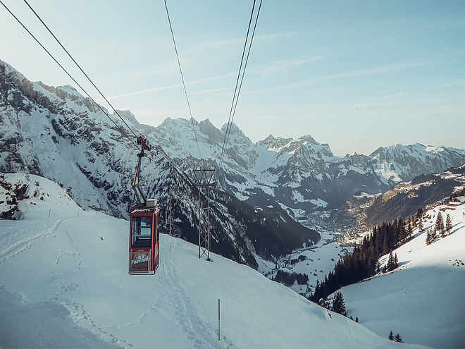
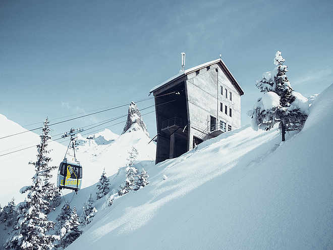
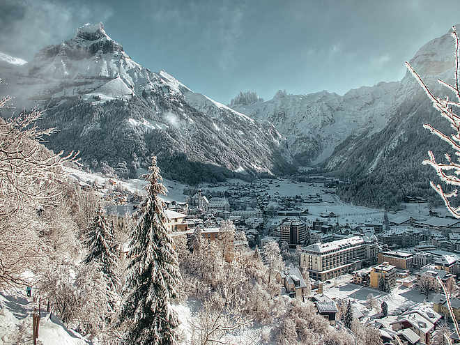
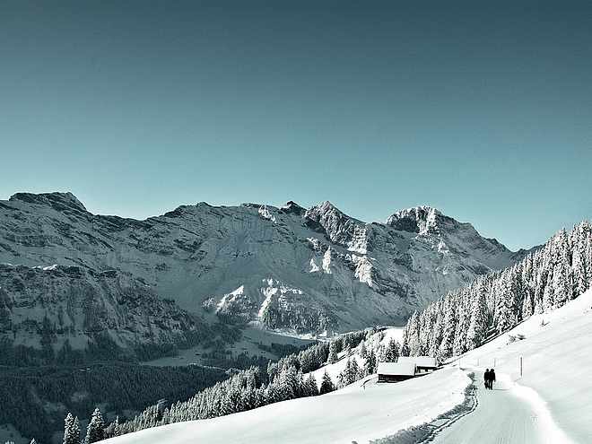
Photo: Engelberg-Titlis Tourismus
One of the most attractive "skitours" in Engelberg. The "Titlis round-trip" is an alpine ski tour. It provides long downhill runs, short climbs, rappelling into steep couloirs and a great glacier hike.
difficult
Distance 9.2 km
Duration7:00 h
Ascent608 m
Descent2,530 m
Highest point3,035 m
Lowest point1,082 m
The tour requires very good mountaineering skills. Safe avalanche conditions, solid ascension technique and the equipment and ability to abseil are required. It is highly recommended to hire a mountain guide.
Hinter Titlisjoch - Ober Stäfeli (Engelberg - OW) - Firnalpeli - Chell (Engelberg - OW)
Public transport
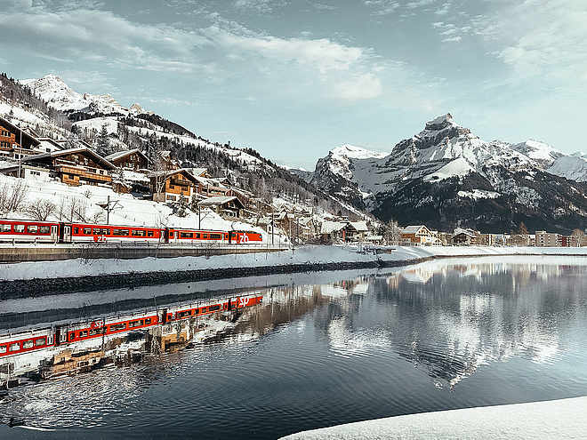
National and international connections (from Zurich airport connections every half hour with approx. 1h travel time) to Lucerne. Afterwards with the Zentralbahn in 43 minutes through varied landscape and gorges up to Engelberg.
Directions
Take the Motorway A2 (Basel-Luzern-Gotthard) to Stans-south. From there follow the main road for 20 km to Engelberg. Engelberg is about 30 minutes from Lucerne. From Zurich you need about 1 h 15 min, and from Bern or Basel approximatly 1 h 45 min.
Parking
Parking spaces are available in Engelberg for a fee.
Coordinates
SwissGrid
2'675'253E 1'180'423N
DD
46.770737, 8.423883
DMS
46°46'14.7"N 8°25'26.0"E
UTM
32T 456013 5179848
w3w
///originate.founders.comfort
Get there by train, car, bike, or on foot!
Equipment
The equipment can be rented in the sports shops of Engelberg.