Bike Trails
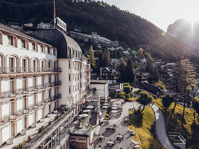
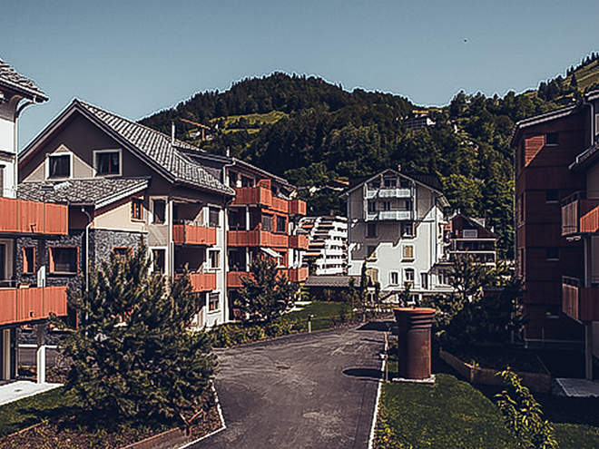
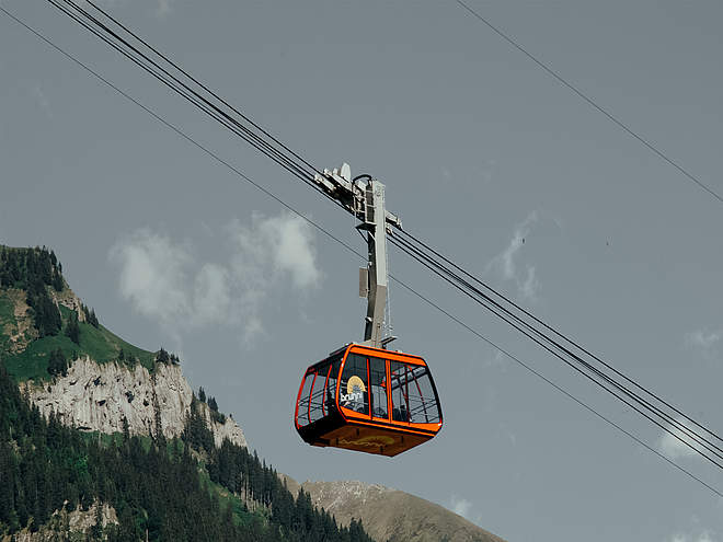
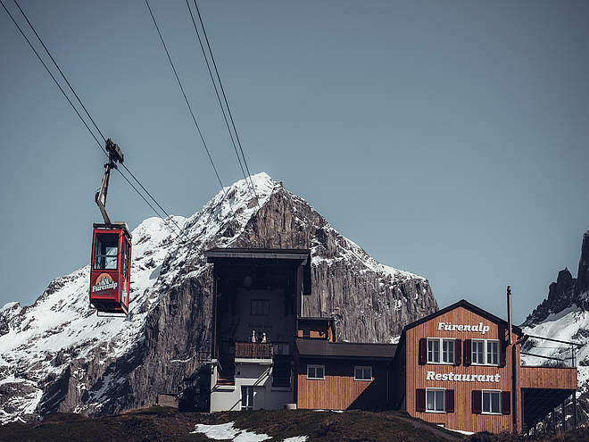
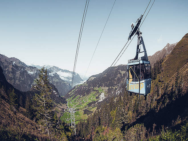
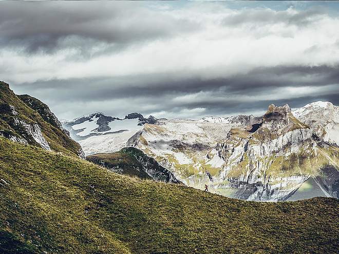
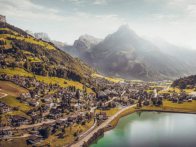
The region’s clearly marked mountain bike tours offer thrilling expeditions through beautiful natural landscapes for cyclists of all abilities. There are tours that include cable car trips, trails offering plenty of flow, and routes with challenging ascents. However you prefer to ride, the Engelberg region has the ideal tour for you.
Bike 'n' Roll | Trail-Arena Engelberg
Mountain Bike Trail · Obwalden

Responsible for this content
Engelberg-Titlis Tourismus Explorers Choice
Engelberg-Titlis Tourismus Explorers Choice
Distance 0.1 km
0:03 h
12 m
0 m
1,052 m
1,039 m

Author
Engelberg - Titlis Tourismus Update: June 28, 2024
Highest point
1,052 m
Lowest point
1,039 m
Best time of year
Jan
Feb
Mar
Apr
May
Jun
Jul
Aug
Sep
Oct
Nov
Dec
Track types
Show elevation profileStart
Coordinates:
SwissGrid
2'674'026E 1'185'374N
DD
46.815407, 8.408628
DMS
46°48'55.5"N 8°24'31.1"E
UTM
32T 454886 5184821
w3w
///bounty.codes.spearhead
Coordinates
SwissGrid
2'674'026E 1'185'374N
DD
46.815407, 8.408628
DMS
46°48'55.5"N 8°24'31.1"E
UTM
32T 454886 5184821
w3w
///bounty.codes.spearhead
Get there by train, car, bike, or on foot!
Distance
0.1 km
Duration
0:03 h
Ascent
12 m
Highest point
1,052 m
Lowest point
1,039 m
Weather at the route's trailhead
Statistics
Maps and trails
- 10 Waypoints
- 10 Waypoints
- Route
- Gradient
km Distance
: h Duration
m Ascent
m Descent
m Highest point
m Lowest point


