Bike Trails
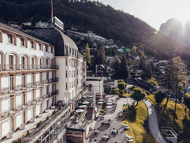
The region’s clearly marked mountain bike tours offer thrilling expeditions through beautiful natural landscapes for cyclists of all abilities. There are tours that include cable car trips, trails offering plenty of flow, and routes with challenging ascents. However you prefer to ride, the Engelberg region has the ideal tour for you.
Bike Tour Brunnihütte
Mountain Bike · Switzerland

Responsible for this content
Engelberg-Titlis Tourismus Explorers Choice
Engelberg-Titlis Tourismus Explorers Choice
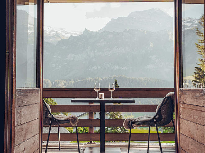
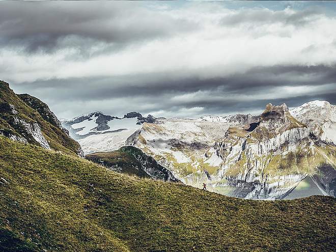
Biking on the sunny side of Engelberg is possible on the route to the Brunnihütte SAC. The highlight of this tour is the view of the Titlis. From nowhere else you can see the glacier as good as from there. At the end of the tour the Herzlisee with the Kitzelpfad waits for tired biker feet.
moderate
Distance 13.1 km
2:21 h
861 m
0 m
1,861 m
1,000 m
From Engelberg railway station, the starting point of the bike tour to the Brunnihütte, take the village road past the Tourist Center (stop recommended for the last good tips) towards the monastery. After the Viktoriagärtli, the park on the left, turn left onto Schwandstrasse. From here the paved road climbs pleasantly between the houses of Engelberg. Once you have reached the Hotel Waldegg, it is worth taking a first look over the village and towards Titlis. Continue on the same road through the forest until you see the mountain inn Schwand. A short stop for refreshments is recommended here before the further ascent. If you have missed the breather in the Schwand and have provisions with you, there is a nice opportunity for a stop at the picnic spot Spisboden. Once you reach the Ristis mountain lodge, it becomes more challenging and the surface changes from asphalt to gravel. The natural road meanders at the foot of the Rigidalstock up to the Rigidalalp. The small, rustic alp has only a few seats and yet a break is always worthwhile. The Engelberg local mountain Hahnen can rarely be admired from so close. If the photos are in the box, you have to climb up and pedal hard again. It only takes a short moment until the Brunnihütte SAC with the waving Swiss flag comes into sight. Arrived at destination - take off your shoes and head for the tickle path. Around the Herzlisee, the Kneipp path quickly makes you forget your painful feet. Back to the valley and to the starting point of the tour, the same route is followed.
Author’s recommendation
- You drive past the Tourist Center - get the latest tips for the day
- A Stop at the Herzlisee

Author
Engelberg - Titlis Tourismus Update: March 04, 2024
Difficulty
moderate
Technique
Stamina
Experience
Landscape
Highest point
1,861 m
Lowest point
1,000 m
Best time of year
Jan
Feb
Mar
Apr
May
Jun
Jul
Aug
Sep
Oct
Nov
Dec
Track types
Asphalt
10 km
Forested/wild trail
1.3 km
Road
1.8 km
Tips and suggestions
Start
Engelberg train station
Coordinates:
SwissGrid
2'673'585E 1'185'823N
DD
46.819495, 8.402914
DMS
46°49'10.2"N 8°24'10.5"E
UTM
32T 454453 5185278
w3w
///stirs.declining.fermented
Destination
Brunnihütte
Turn-by-turn directions
Engelberg-Schwand-Spisboden-Ristis-Rigidal-Brunnihütte
Public transport
Public-transport-friendly
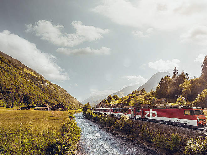
National and international connections (from Zurich airport connections every half hour with approx. 1h travel time) to Lucerne.Afterwards with the Zentralbahn in 43 minutes through varied landscape and gorges up to Engelberg.Directions
By car you drive on the A2 (Basel-Gotthard) to Stans Süd, then on the main road 20 km to Engelberg. Engelberg is 30 minutes from Lucerne, 1 hour and 15 minutes from Basel, Zurich or Bern.Parking
Parking spaces are available in Engelberg for a fee.Coordinates
SwissGrid
2'673'585E 1'185'823N
DD
46.819495, 8.402914
DMS
46°49'10.2"N 8°24'10.5"E
UTM
32T 454453 5185278
w3w
///stirs.declining.fermented
Get there by train, car, bike, or on foot!
Equipment
Engelberg’s bike shops have a wide range of bikes and cycling accessories for sale or hire. It’s also worth stopping by if your bike is in need of repairs or replacement parts.
Difficulty
moderate
Distance
13.1 km
Duration
2:21 h
Ascent
861 m
Highest point
1,861 m
Lowest point
1,000 m
Weather at the route's trailhead
Statistics
Maps and trails
- 1 Waypoints
- 1 Waypoints
- Route
- Gradient
km Distance
: h Duration
m Ascent
m Descent
m Highest point
m Lowest point


