Bike Trails
The region’s clearly marked mountain bike tours offer thrilling expeditions through beautiful natural landscapes for cyclists of all abilities. There are tours that include cable car trips, trails offering plenty of flow, and routes with challenging ascents. However you prefer to ride, the Engelberg region has the ideal tour for you.
Jochpass Trail

Engelberg-Titlis Tourismus Explorers Choice
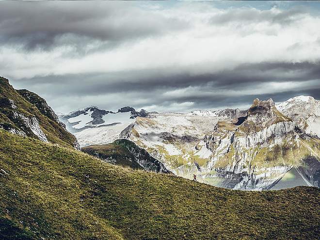
The Jochpass Trail is a varied bike trail, which leads from the Jochpass to the Trübsee and is built so that experienced as well as less experienced bikers can have fun.
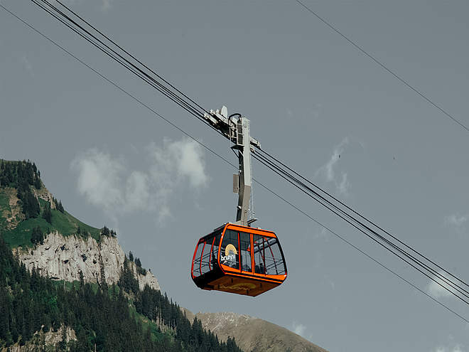
The Jochpass trail with lots of flow and some more difficult sections promises unlimited riding fun. From the Jochpass mountain station, the medium-difficult trail goes its way down for around 4.5 kilometers in the direction of Trübsee. You will master a total of 440 meters in downhill altitude. Curves, waves and jumps have been designed so that beginners and advanced riders alike can enjoy the trail. However, experience on a mountain bike is a prerequisite in any case. To get to the trailhead, there are two options. Either you decide for the comfortable variant and take the Titlis Xpress from Engelberg. Get off at the Trübsee mountain station and ride along the left shore of the lake to the Jochpass valley station. For the short section you need about 5 minutes. Or you can ride your bike from the valley station of the Titlis cable cars via Untertrübsee to Trübsee. From there, the chairlift will take you to the start of the trail.
Author’s recommendation
Only children with experience on bike trails and a solid technique should ride this trail.

Track types
Show elevation profileTips and suggestions
Start
Destination
Turn-by-turn directions
Jochpass-Trübsee
Public transport
Public-transport-friendly
National and international connections (from Zurich airport every half-an-hour with approx. 1h travel time) to Lucerne. Then by Zentralbahn train in 43 minutes through a varied landscape and gorges up to Engelberg.
Directions
If arriving by A2 (Basel-Gotthard) motorway, exit at Stans Süd, then follow the main road for 20 km to Engelberg. Engelberg is 30 minutes from Lucerne or 75 minutes from Basel, Zurich or Bern.
Parking
Fee-paying car parks in Engelberg.
Coordinates
Equipment
Engelberg’s bike shops have a wide range of bikes and cycling accessories for sale or hire. It’s also worth stopping by if your bike is in need of repairs or replacement parts.
Weather at the route's trailhead
Statistics
- Route
- Gradient


