Hiking trails
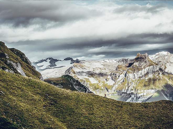
Hiking with far-reaching view, breathing in fresh alpine air, giving your circulation new wellbeing, breathing in the scents of flowers, giving your senses new experiences: Over 500km of hiking trails invite to be discovered.
Alpine flower trail

Engelberg-Titlis Tourismus Explorers Choice
Author’s recommendation

Track types
Tips and suggestions
The mountain flower trails do not necessarily have to be combined. It is also possible to hike only the theme trail on Gerschnialp as well as only on Trübsee.
Start
Destination
Turn-by-turn directions
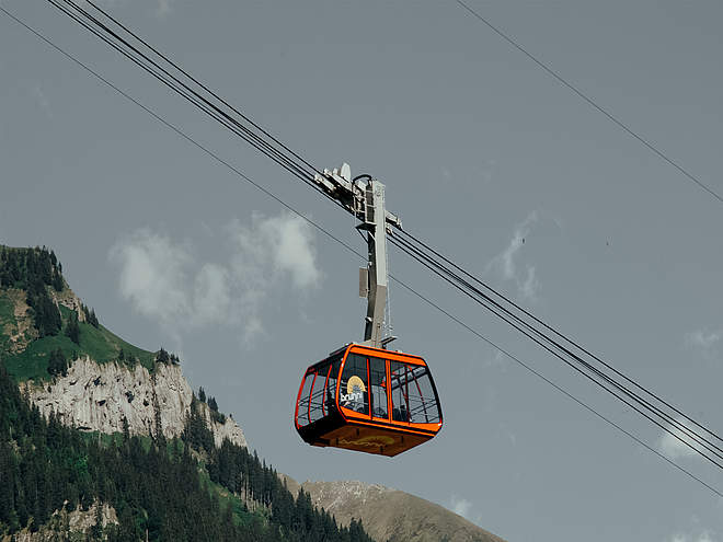
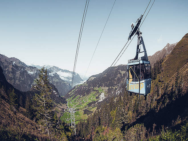
The mountain flower trail Gerschnialp leads from the station Gerschnialp to Untertrübsee. From there you have the possibility to take the cable car "Älplerseil" up to Obertrübsee or there is also a hiking trail that leads from Untertrübsee to Obertrübsee. On the mountain flower path Trübsee you hike from Obertrübsee leisurely along the lake to the middle station Trübsee.
Catering
On the mountain flower path Gerschnialp you have the possibility to eat in the restaurant Untertrübsee. On the Bergblumenpfad Trübsee there are various barbecue areas with wood along the lake or in the Berghotel restaurant there are many delicacies to try.
Public transport
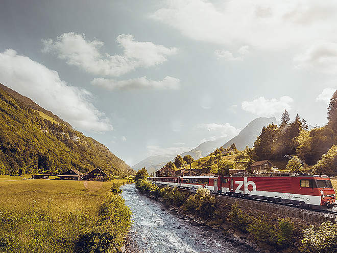
National and international connections (from Zurich airport connections every half hour with approx. 1h travel time) to Lucerne. Then with the Zentralbahn in 43 minutes through varied landscape and gorges up to Engelberg.Directions
By car, take the A2 (Basel-Gotthard) to Stans Süd, then take the main road 20 km to Engelberg. Engelberg is 30 minutes from Lucerne, 1 hour and 15 minutes from Basel, Zurich or Bern.Parking
Parking spaces are available at the TITLIS cable car for a fee.
Coordinates
Equipment
Sporty footwearWeather at the route's trailhead
Statistics
- 9 Waypoints
- 9 Waypoints
- Route
- Gradient


