Hiking trails

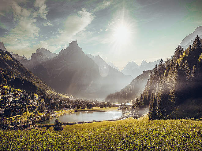
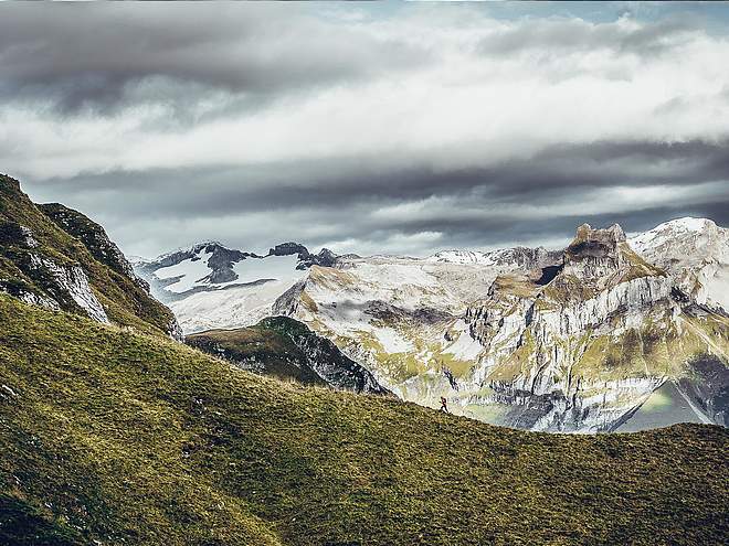
Hiking with far-reaching view, breathing in fresh alpine air, giving your circulation new wellbeing, breathing in the scents of flowers, giving your senses new experiences: Over 500km of hiking trails invite to be discovered.

Nature Trailrecommended route

Alpkäse-Trail

Nature Trail · Engelberg
Logo Engelberg-Titlis Tourismus
Responsible for this content
Engelberg-Titlis Tourismus Explorers Choice 
  • Photo: Engelberg - Titlis Tourismus, Engelberg-Titlis Tourismus
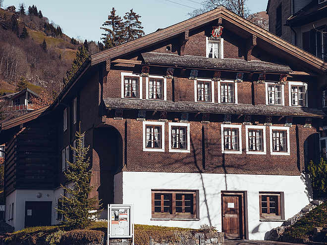
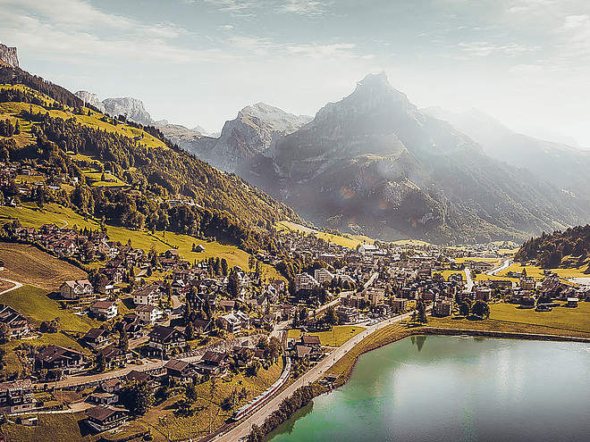
The Alpine Cheese Trail passes by seven cheese dairies around Engelberg. This varied hiking route offers beautiful mountain views and tempting treats for cheese connoisseurs.
Distance 46.9 km
14:30 h
2,024 m
2,024 m
1,853 m
995 m
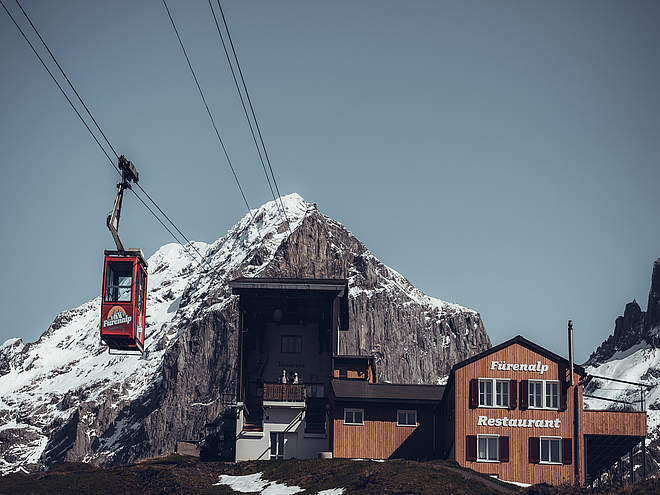
The route is 47 kilometres long from start to finish, but you can walk individual parts of it on day hikes. The trail starts at Engelberg Abbey’s show dairy and follows the gentle uphill hiking path to Untertrübsee. The Untertrübsee dairy, with panoramic mountain views, is the first stop. The path then crosses to the Gerschnialp dairy before going downhill through woodland to Engelberg. You follow the Engelberger Aa river on easy paths until you reach the Stäfeli dairy. From here, you can penetrate further into the mountains and head in the direction of the Surenen Pass to visit the Blackenalp dairy. Next, you head gently uphill again to the Surenen dairy. The Fürenalp is the highest point on the hike; after that you head back into the valley, down to the Horbis, before the steep path over the Schletteren brings you back to the sunny side of the valley. Here, the Hüttismatt and Langenboden dairies await you. After that you can walk back to Engelberg via Bränd, Spisboden, Heg and Bergli.


Please note that depending on weather conditions (snow conditions) not all alpine cheese dairies are occupied in June.

Author’s recommendation

Take along plenty of cash and leave space in your rucksack for cheese as all seven dairies sell their delicious produce on site.

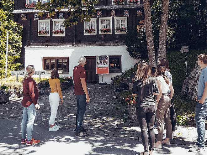
In the only Swiss monastery show factory you can experience live how cheese is made by hand and how regional milk is processed into cheese specialities (from 10:00 a.m. to 3:00 p.m.).

Profile picture of Engelberg - Titlis Tourismus
Author
Engelberg - Titlis Tourismus 
Update: November 29, 2023
Highest point
1,853 m
Lowest point
995 m
Best time of year
Jan
Feb
Mar
Apr
May
Jun
Jul
Aug
Sep
Oct
Nov
Dec

Track types

Asphalt 27.74%Forested/wild trail 23.15%Path 45.45%Road 2.95%Unknown 0.69%
Asphalt
13 km
Forested/wild trail
10.9 km
Path
21.3 km
Road
1.4 km
Unknown
0.3 km
Show elevation profile

Safety information

Mehrtägige Wanderung (etwa 14,5 Stunden reine Marschzeit) auf markierten Wanderwegen. Kondition und Trittsicherheit erforderlich. Schwierigkeit: T3.

Tips and hints

Engelberg-Titlis Tourismus, Tel. +41 (0) 41 639 77 77, www.engelberg.ch

Schaukäserei Kloster Engelberg, Tel. +41 (0) 41 638 08 88, www.schaukaeserei-engelberg.ch

Start

Kloster Schaukäserei Engelberg
Coordinates:
SwissGrid
2'674'030E 1'185'861N
DD
46.819791, 8.408755
DMS
46°49'11.2"N 8°24'31.5"E
UTM
32T 454899 5185308
w3w 
///gone.worry.lordship

Destination

Kloster Schaukäserei Engelberg

Turn-by-turn directions

Engelberg-Titlis Talstation-Untertrübsee-Gerschnialp-Bänklialp-Eienwäldli-Alpenrösli-Blackenalp-Usser Äbnet-Fürenalp-Dagenstall-Zieblen-Horbis-Ristis-Hüetismatt-Spisboden-Oberbergli-Engelberg

Public transport

Public-transport-friendly

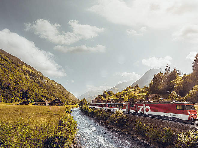
Nationale und internationale Verbindungen (ab Zürich Flughafen Verbindungen im Halbstundentakt mit ca. 1h Fahrzeit) bis Luzern. Danach mit der Zentralbahn in 43 Minuten durch eine abwechslungsreiche Landschaft hinauf nach Engelberg.

Directions

Mit dem Auto fahren Sie auf der A2 (Basel-Gotthard) bis Stans Süd, dann auf der Hauptstrasse 20 km nach Engelberg. Engelberg liegt 30 Minuten von Luzern, 1 Stunde und 15 Minuten von Basel, Zürich oder Bern.

Parking

Parkplätze stehen in Engelberg kostenpflichtig zur Verfügung.

Coordinates

SwissGrid
2'674'030E 1'185'861N
DD
46.819791, 8.408755
DMS
46°49'11.2"N 8°24'31.5"E
UTM
32T 454899 5185308
w3w 
///gone.worry.lordship
Get there by train, car, bike, or on foot!

Equipment

Normal hiking equipment, sturdy hiking boots, spare clothing, toiletries, light sleeping bag and headlamp for overnight stays, food and drink on the go.

Similar routes nearby

  • Alpine Cheese Trail Blackenalp section
  • Alpine Cheese Trail Untertrübsee/Gerschnialp section
  • Alpine Cheese Trail Brunni section
  • Buiräbähnli Safari
  • BUIRÄBÄHNLI SAFARI Etappe 1
 These suggestions were generated by our system
Distance
46.9 km
Duration
14:30 h
Ascent
2,024 m
Descent
2,024 m
Highest point
1,853 m
Lowest point
995 m
Public-transport-friendlyRound tripCultural/historical interest

Weather at the route's trailhead

Statistics

  • Content
  • Show imagesHide images
Features
Maps and trails
  • 13 Waypoints
  • 13 Waypoints
Distance km
Duration: h
Ascent m
Descent m
Highest point m
Lowest point m
Push the arrows to change the view