Hiking trails

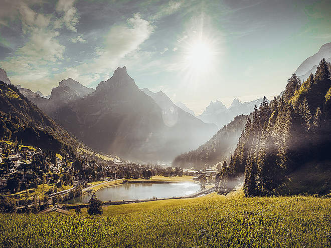
Hiking with far-reaching view, breathing in fresh alpine air, giving your circulation new wellbeing, breathing in the scents of flowers, giving your senses new experiences: Over 500km of hiking trails invite to be discovered.

Nature Trailrecommended routeMulti-stage route

Buiräbähnli Safari

Nature Trail
Logo Engelberg-Titlis Tourismus
Responsible for this content
Engelberg-Titlis Tourismus Explorers Choice 
  • Photo: Engelberg - Titlis Tourismus, Engelberg-Titlis Tourismus
This demanding multi-day hike is 12.5 hours (pure walking time) in length and takes place off the beaten track.
difficult
Distance 46.6 km
19:35 h
3,737 m
3,737 m
1,952 m
511 m

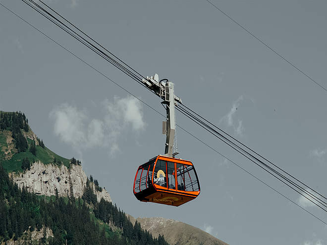
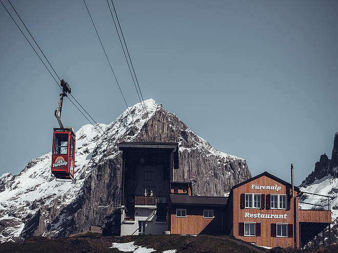
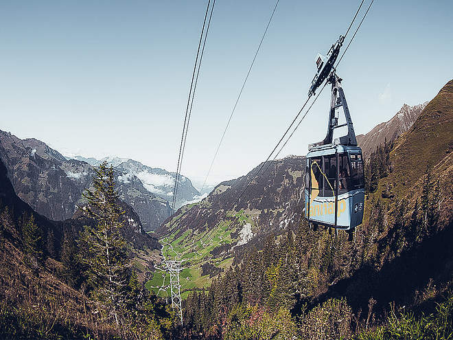
From Engelberg, the path leads via Zingel and Lutersee lake to Eggendössli, where you take the Rugisbalm cableway down to Mettlen (Grafenort). Once down in the valley, you follow Engelberg’s Aa river to Büelen valley station then catch the cableway up the mountain. From there, the path sets off on a mostly gentle descent via Schwand towards Diegisbalm, where you take the cableway down to Wolfenschiessen. Next, you continue along the Aa river as far as the entrance to the village, then walk through Wolfenschiessen to reach Brändlen valley station. From there it is just a short walk to your first night’s accommodation at Berghof Brändlen.

The following morning the hike continues via Schmiedsboden, then down by cableway to Oberrickenbach. In Fell you take the next cableway up to Sinsgäu and than onwards on a path to Bannalp. Here you join the Walen Trail as far as Alp Oberfeld, the location of your second overnight stay on the hike. The final morning sees you back on the Walen Trail heading to Brunni mountain hut. Once there, you can choose either to walk down to Oberbord for the last farmes cableway or for an easier option, take the chairlift down to Ristis and the cableway to Engelberg. There you return back to the railway station. In the Buriäbähnlipass the chairlift Ristis and the cableway Brunni is not included.

Profile picture of Engelberg - Titlis Tourismus
Author
Engelberg - Titlis Tourismus 
Update: February 28, 2024
Difficulty
difficult
Technique
Stamina
Experience
Landscape
Highest point
1,952 m
Lowest point
511 m
Best time of year
Jan
Feb
Mar
Apr
May
Jun
Jul
Aug
Sep
Oct
Nov
Dec

Track types

Lift/cableway 18.64%Unknown 81.35%
Lift/cableway
8.7 km
Unknown
37.9 km
Show elevation profile

Tips and hints

Ausgangs- und Endpunkt dieser Wanderung ist der Bahnhof Engelberg, übernachtet wird im Alpina Einhorn Wolfenschiessen oder in einer der zahlreichen urchigen Berghütten auf dem Weg.

Start

Engelberg
Coordinates:
SwissGrid
2'673'583E 1'185'827N
DD
46.819530, 8.402892
DMS
46°49'10.3"N 8°24'10.4"E
UTM
32T 454451 5185282
w3w 
///blown.bead.spurring

Destination

Engelberg

Turn-by-turn directions

Engelberg – Egendössli – Mettlen – Grafenort – Büelen – Diegisbalm – Wolfenschiessen – Brändlen – Oberrickenbach – Fell – Sinsgäu – Bannalp – Alp Oberfeld – Brunni – Oberbord – Engelberg

Coordinates

SwissGrid
2'673'583E 1'185'827N
DD
46.819530, 8.402892
DMS
46°49'10.3"N 8°24'10.4"E
UTM
32T 454451 5185282
w3w 
///blown.bead.spurring
Get there by train, car, bike, or on foot!

Similar routes nearby

  • BUIRÄBÄHNLI SAFARI Etappe 1
  • Alpine Cheese Trail Untertrübsee/Gerschnialp section
  • Alpine Cheese Trail Blackenalp section
  • Alpkäse-Trail
  • Alpine Cheese Trail Brunni section
 These suggestions were generated by our system
Difficulty
difficult
Distance
46.6 km
Duration
19:35 h
Ascent
3,737 m
Descent
3,737 m
Highest point
1,952 m
Lowest point
511 m
Multi-stage routeRefreshment stops availableCableway ascent/descent

Weather at the route's trailhead

Statistics

  • Content
  • Show imagesHide images
Features
Maps and trails
  • 3 Stages
Nature Trail · Switzerland
BUIRÄBÄHNLI SAFARI Etappe 1
recommended routeDifficultydifficultStage 1
Distance 20.9 km
Duration 6:00 h
Ascent 938 m
Descent 670 m

Die komplette mehrtägige Wanderung dauert 12.5 Stunden (reine Wanderzeit) und bietet auf der ganzen Route pures Naturerlebnis. Die Etappe 1 führt ...

from Engelberg - Titlis Tourismus,   Engelberg-Titlis Tourismus
Nature Trail · Switzerland
BUIRÄBÄHNLI SAFARI Etappe 2
recommended routeDifficultydifficultStage 2
Distance 14.8 km
Duration 5:45 h
Ascent 1,395 m
Descent 759 m

Die komplette mehrtägige Wanderung dauert 12.5 Stunden (reine Wanderzeit) und bietet auf der ganzen Route pures Naturerlebnis. Die Etappe 2 führt ...

from Engelberg - Titlis Tourismus,   Region Luzern-Vierwaldstättersee
Hiking Trail · Switzerland
BUIRÄBÄHNLI SAFARI Etappe 3
DifficultymoderateStage 3
Distance 12.2 km
Duration 4:00 h
Ascent 449 m
Descent 1,277 m

Engelberg-Titlis Tourismus
Distance km
Duration: h
Ascent m
Descent m
Highest point m
Lowest point m
Push the arrows to change the view