Hiking trails
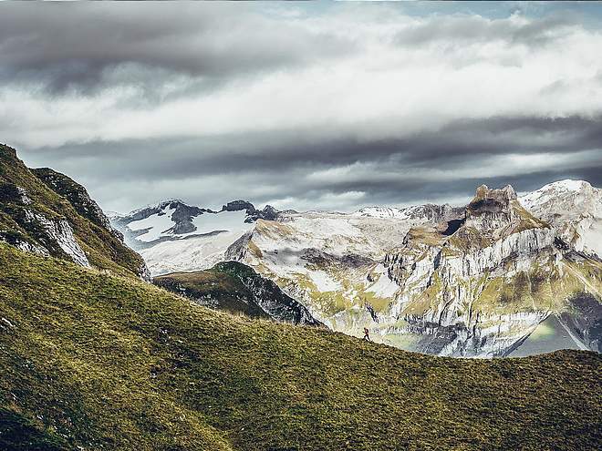
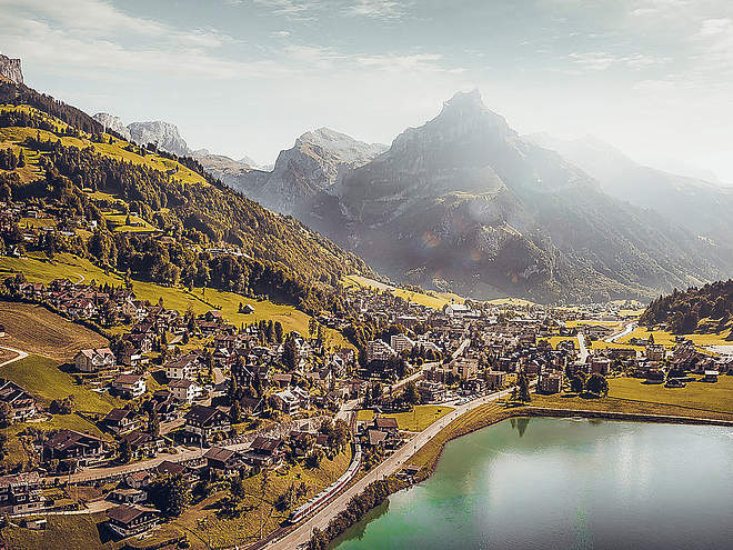
Hiking with far-reaching view, breathing in fresh alpine air, giving your circulation new wellbeing, breathing in the scents of flowers, giving your senses new experiences: Over 500km of hiking trails invite to be discovered.
Engelberg - Schwand - Ristis

Engelberg-Titlis Tourismus Explorers Choice
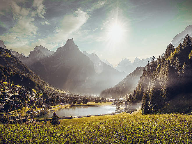
Medium-difficulty walk suitable for strollers on the sunny side of Engelberg, which is rewarded with the magnificent view of the Titlis.
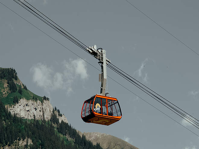
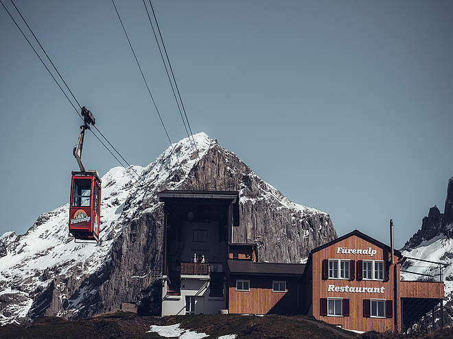
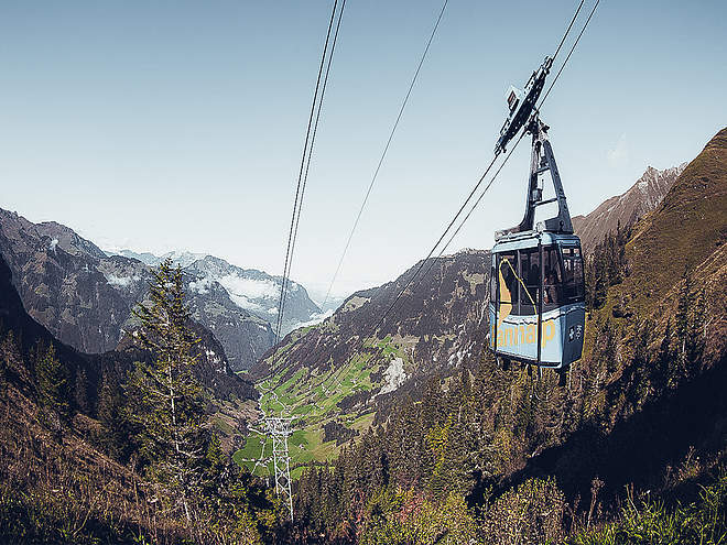
From the train station Engelberg you go through the Dorfstrasse always in the direction of the monastery. After the Tourist Information, Schwandstrasse turns left. From there the path climbs steadily. Past the Hotel Waldegg you stay on the road that turns into the forest after the last houses. The road meanders comfortably, always slightly ascending, over a clearing and again in the forest until you reach the mountain restaurant Schwand. Here in the comfortably furnished restaurant a stop is recommended. Not only the sunny terrace invites you to take a break, but also the "Schwander specialties" such as "false Schwander snails" make you "gwunderig" for more. Freshly strengthened, we follow the signpost Spisboden. After a few hairpin bends it becomes flatter and you can see the destination on the Ristis. The view towards Titlis and Engelberg is magnificent and makes you forget your tired legs. After a well-deserved break on the sun terrace of the Ristis mountain restaurant, you take the cable car down to the valley. Back to the train station and the starting point of the trail, the free sports bus will take you
Author’s recommendation
Stop at the Schwand mountain restaurant. Let yourself be enchanted by the "Schwander specialties". The Schwand also has some exciting events in store. A look at their website before the tour is recommended.

Track types
Tips and suggestions
Gastronomy
Start
Destination
Turn-by-turn directions
Train Station Engelberg-Waldegg-Schwand-Spisboden-Ristis
Public transport
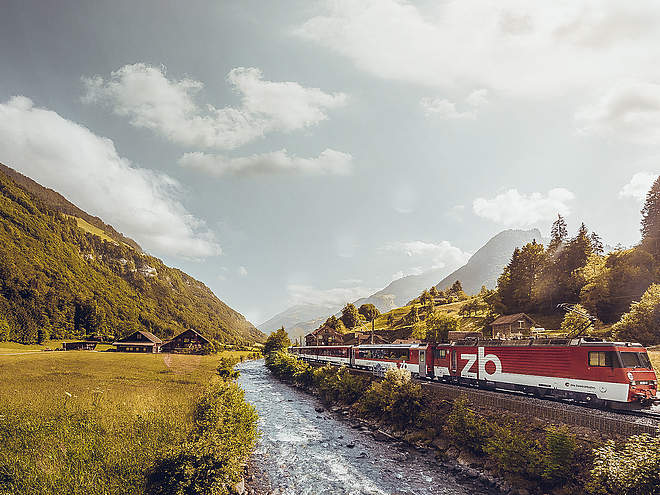
National and international connections (from Zurich airport connections every half hour with approx. 1h travel time) to Lucerne. Then with the Zentralbahn in 43 minutes through varied landscape and gorges up to Engelberg.Directions
By car, take the A2 (Basel-Gotthard) to Stans Süd, then take the main road 20 km to Engelberg. Engelberg is 30 minutes from Lucerne, 1 hour and 15 minutes from Basel, Zurich or Bern.Parking
Parking optionsCoordinates
Equipment
Sturdy shoes, sun protection, and hiking poles are an advantage.
Weather at the route's trailhead
Statistics
- Route
- Gradient


