Hiking trails
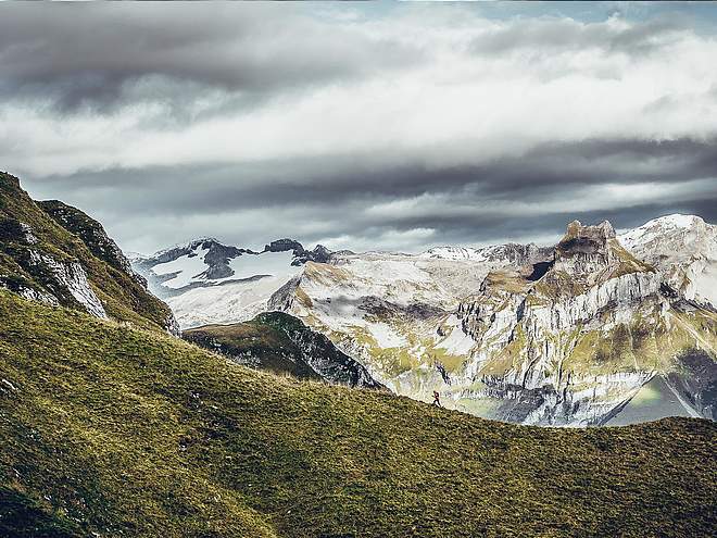
Hiking with far-reaching view, breathing in fresh alpine air, giving your circulation new wellbeing, breathing in the scents of flowers, giving your senses new experiences: Over 500km of hiking trails invite to be discovered.
Mountain flower trail Gerschnialp - Untertrübsee
Nature Trail · Central Switzerland

Responsible for this content
Engelberg-Titlis Tourismus Explorers Choice
Engelberg-Titlis Tourismus Explorers Choice
The mountain flower path Gerschnialp leads from the station Gerschnialp to Untertrübsee.
easy
Distance 1.9 km
0:32 h
60 m
66 m
1,267 m
1,201 m
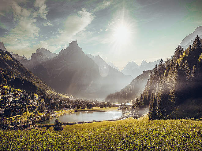
The mountain plants are exposed to the extreme living conditions in the alpine mountain world. At higher altitudes, the summer is very short and the plants have little time to flower. On the newly created mountain flower nature trails on Gerschnialp and Trübsee the visitor gets to know different mountain flower species and their living conditions in an uncomplicated way. Surrounded by an impressive alpine mountain and glacier world, the hiker can inform himself about the mountain flowers that have settled here by means of yellow boards.
Author’s recommendation
Auf jeder Blumentafel findest du einen 9-stelligen Ziffernschlüssel. Ein Infoblatt mit der Bedeutung der Codes findest du im Flyer "Zeichenschlüssel".

Author
Engelberg - Titlis Tourismus Update: September 30, 2020
Difficulty
easy
Stamina
Experience
Landscape
Highest point
1,267 m
Lowest point
1,201 m
Best time of year
Jan
Feb
Mar
Apr
May
Jun
Jul
Aug
Sep
Oct
Nov
Dec
Track types
Show elevation profileTips and suggestions
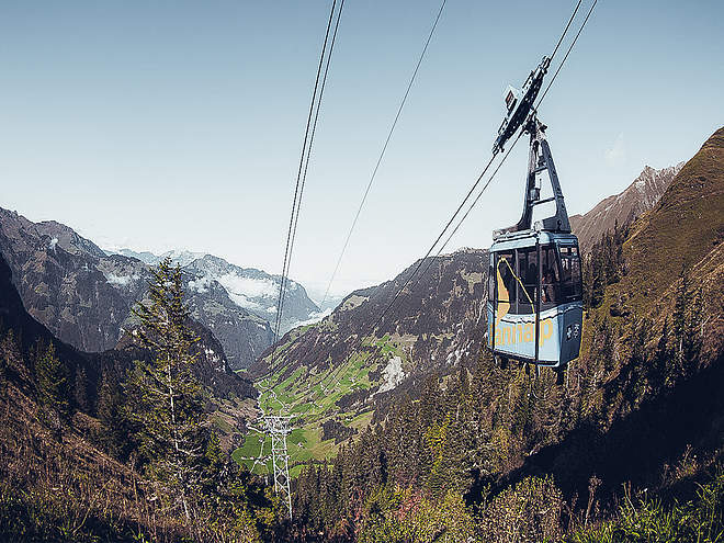
Du kannst auch beide Bergblumenpfade kombinieren. Entweder gehst du die Strecke Obertrübsee–Untertrübsee zu Fuss oder du nimmst die Luftseilbahn «Älplerseil». Das Ticket für die Fahrt mit dem «Älplerseil» ist im Bergbahnticket Engelberg–Trübsee retour inbegriffen.Start
Gerschnialp Station
Coordinates:
SwissGrid
2'672'778E 1'185'033N
DD
46.812481, 8.392220
DMS
46°48'44.9"N 8°23'32.0"E
UTM
32T 453631 5184505
w3w
///mavericks.broccoli.recount
Destination
Restaurant Untertrübsee / Luftseilbahn "Älplerseil"
Coordinates
SwissGrid
2'672'778E 1'185'033N
DD
46.812481, 8.392220
DMS
46°48'44.9"N 8°23'32.0"E
UTM
32T 453631 5184505
w3w
///mavericks.broccoli.recount
Get there by train, car, bike, or on foot!
Difficulty
easy
Distance
1.9 km
Duration
0:32 h
Ascent
60 m
Descent
66 m
Highest point
1,267 m
Lowest point
1,201 m
Weather at the route's trailhead
Statistics
Maps and trails
- 1 Waypoints
- 1 Waypoints
- Route
- Gradient
km Distance
: h Duration
m Ascent
m Descent
m Highest point
m Lowest point


