Hiking trails
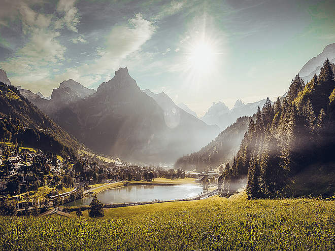
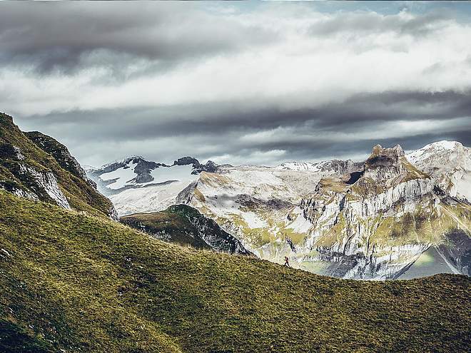
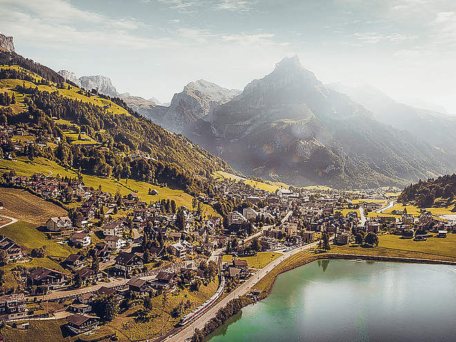
Hiking with far-reaching view, breathing in fresh alpine air, giving your circulation new wellbeing, breathing in the scents of flowers, giving your senses new experiences: Over 500km of hiking trails invite to be discovered.
Rugghubelhütte (alt. 2,290m)
Hiking Trail · Central Switzerland

Responsible for this content
Engelberg-Titlis Tourismus Explorers Choice
Engelberg-Titlis Tourismus Explorers Choice
Wandern oberhalb von Engelberg zur Rugghubelhütte
moderate
Distance 14.1 km
5:30 h
696 m
1,279 m
2,296 m
1,012 m
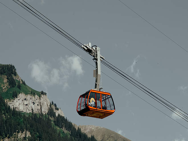
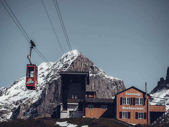
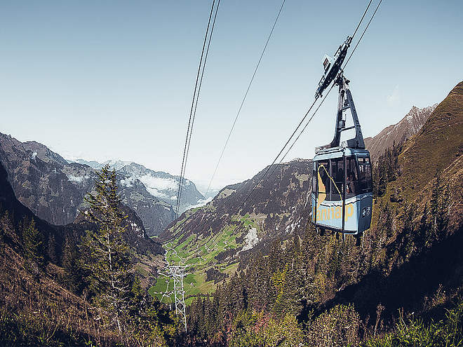
Ascent: It's a 15-minute walk from the train station in Engelberg to the cable car station that will whisk you up to Ristis (alt. 1,606m). From here you hike on a good path towards the northeast. After Rigidalstafel, the trail leads you above the cliffs and on to Tüfelstein. Shortly afterwards you cross a brook and head up a scenic trail through a rocky karst landscape to the beautifully situated Rugghubelhütte. (Time needed: 2.5 hours)
Here at the hut you'll find plenty to eat and drink. There are even some rocks for children to practice climbing on. The SAC hut is manned from June to October and it also offers good accommodation.
Descent: The way back is along the same trail. Alternatively, you can take a steeper path from Rigidalstafel straight back to Engelberg, or a better path from Ristis back to the base station of the cable car. Of course, you can also take the cable car down. From the hut to Ristis it's a two-hour hike, and to Engelberg it's three hours.
Note(s)
This tour is also suitable for children.
See also
For Supported Areas
GEO-Tracks GmbH
Zugerstrasse 1
CH-6330 Cham
Web: www.gps-tracks.com
E-Mail: [email protected]
Author’s recommendation
Auch für Kinder geeignet!
Difficulty
moderate
Technique
Stamina
Experience
Landscape
Highest point
2,296 m
Lowest point
1,012 m
Track types
Asphalt
2.9 km
Forested/wild trail
1 km
Path
10.2 km
Road
0 km
Start
Engelberg, Brunnibahn Ristis
Coordinates:
SwissGrid
2'673'899E 1'187'246N
DD
46.832258, 8.407263
DMS
46°49'56.1"N 8°24'26.1"E
UTM
32T 454796 5186694
w3w
///headings.woke.fortunes
Destination
Engelberg, Brunnibahn Talstation
Turn-by-turn directions
Brunnibahn Ristis - Rigidalstafel - Planggenstafel - Rugghubelhütte - Rigidalstafel - Ried - Brunnibahn Talstation
Public transport
Public-transport-friendly
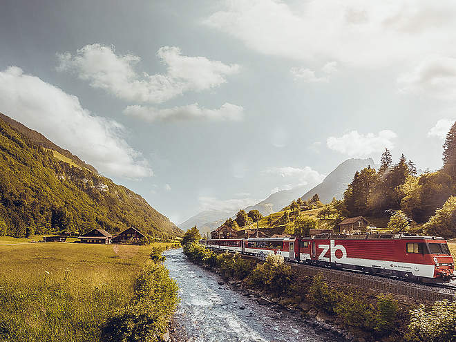
Engelberg ist einfach ab Luzern mit der Zentralbahn erreichbar.Coordinates
SwissGrid
2'673'899E 1'187'246N
DD
46.832258, 8.407263
DMS
46°49'56.1"N 8°24'26.1"E
UTM
32T 454796 5186694
w3w
///headings.woke.fortunes
Get there by train, car, bike, or on foot!
Difficulty
moderate
Distance
14.1 km
Duration
5:30 h
Ascent
696 m
Descent
1,279 m
Highest point
2,296 m
Lowest point
1,012 m
Weather at the route's trailhead
Statistics
Maps and trails
- 6 Waypoints
- 6 Waypoints
- Route
- Gradient
km Distance
: h Duration
m Ascent
m Descent
m Highest point
m Lowest point


