Hiking trails
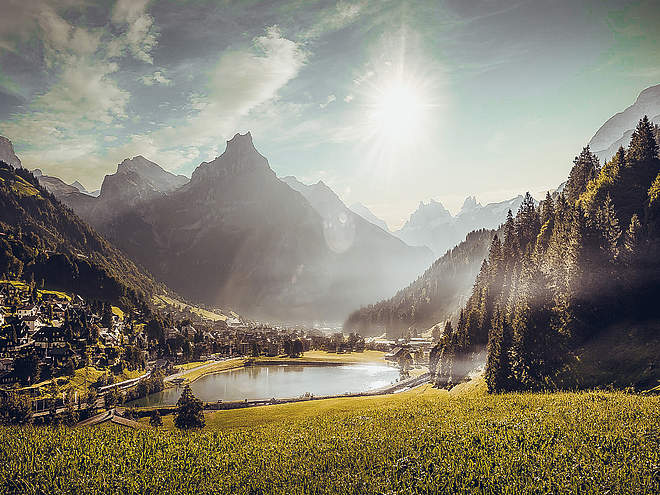
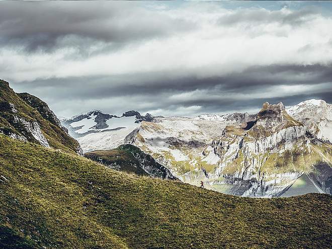
Hiking with far-reaching view, breathing in fresh alpine air, giving your circulation new wellbeing, breathing in the scents of flowers, giving your senses new experiences: Over 500km of hiking trails invite to be discovered.
Surenenpass

Engelberg-Titlis Tourismus Explorers Choice
Before or after the hike over the Surenen Pass, you can book transport between Engelberg and Attinghausen with the Titlis-Taxi Engelberg. Reservations by telephone until 10 am, price on request.
Author’s recommendation
Attractions on the hike
- Alpine fauna and flora
Enjoy the fresh alpine air and discover a unique variety of alpine flora. With a bit of luck, you may be able to observe wild animals such as chamois, marmots and ibexes on the hike. The purest paradise for nature lovers. - Various mountain pubs in the Alps summer
Along the route, several mountain pubs invite you to stop for a bite to eat during the Alps summer. The trail also passes the Surenen cheese dairy. During the Alpine season, the alpine dairymen like to offer their fresh Alpine products and invite you to a cool drink or a snack in their Alpbeizli.

Track types
Show elevation profileTips and suggestions
Via Alpina
The Surenenpass hike is part of the Via Alpina. The Via Alpina leads through 8 countries and stretches over 5000 km in over 300 daily stages. There is a hiking pass for the Via Alpina. This stage can be stamped at the Engelberg Titlis Tourism Office.
Detailed description of the route on SwitzerlandMobility
Start
Public transport
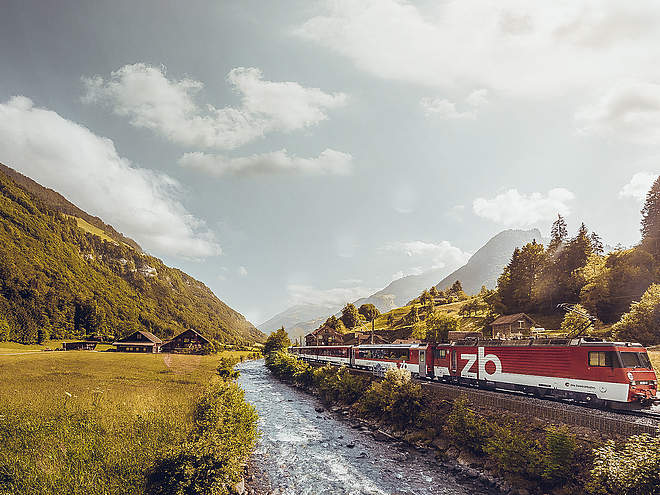
National and international connections (from Zurich airport connections every half hour with approx. 1h travel time) to Lucerne.Afterwards with the Zentralbahn in 43 minutes through varied landscape and gorges up to Engelberg.Directions
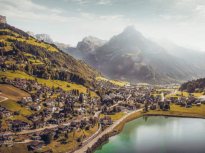
By car you drive on the A2 (Basel-Gotthard) to Stans Süd, then on the main road 20 km to Engelberg. Engelberg is 30 minutes from Lucerne, 1 hour and 15 minutes from Basel, Zurich or Bern.Parking
Parking spaces are available in Engelberg for a fee.Coordinates
Weather at the route's trailhead
Statistics
- Route
- Gradient


