Hiking trails
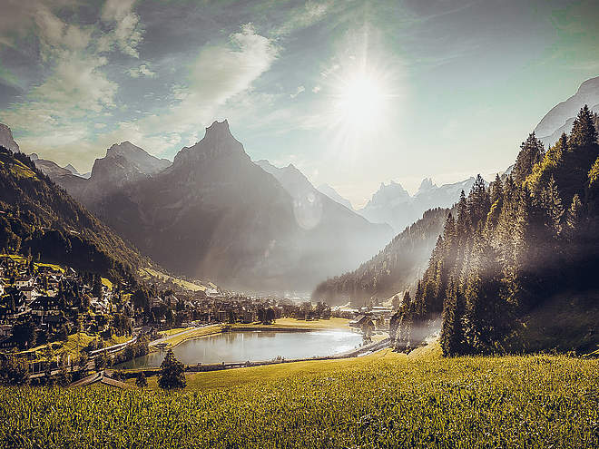
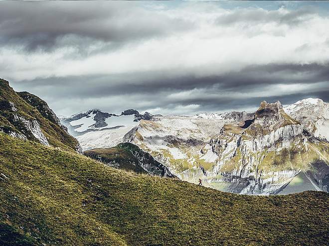
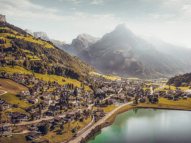
Hiking with far-reaching view, breathing in fresh alpine air, giving your circulation new wellbeing, breathing in the scents of flowers, giving your senses new experiences: Over 500km of hiking trails invite to be discovered.
Zingel Hike

Engelberg-Titlis Tourismus Explorers Choice
This hike takes you from Grafenort over the nidwalden mountains and past Lutersee to Engelberg.
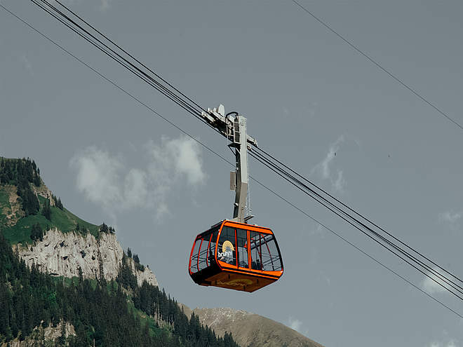
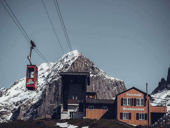
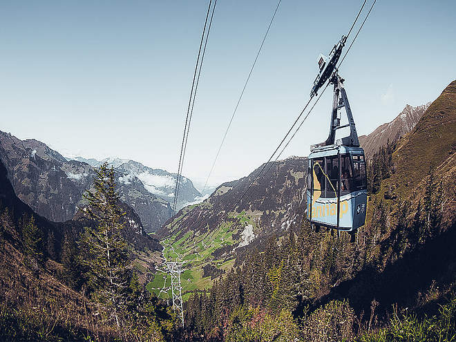
The start of this tour is at the Grafenort train station. First you walk on a flat forest path along the Engelberger Aa to the valley station of the Buiräbähnli, which takes you to Rugisbalm. From here you can use another Bähnli and thus spare your legs for the further ascent. After you have covered the first 800 meters of altitude by the rail, you will continue to the Lutersee with your own muscle power. Once at the Seeli, we recommend a picnic or you descend a bit in the direction of Zingelalp, where a wonderful resting place with a great view and a cool drink awaits you. The further descent leads along a narrow forest path, which again requires some concentration, down into the Arnibach gorge. A farm glacé from the Hoflädeli Aeschboden will sweeten the last part of the way to Engelberg train station.
Author’s recommendation
The Zingel hike is also the first stage of the Buirebähnli Safari.
You can find more infotmations about this experience at the following link: Buiräbähnli - Safari

Track types
Start
Destination
Turn-by-turn directions
Grafenort - Mettlen - Rugisbalm - Eggen - Lutersee - Zingel - Staldeli - Oertigen - Engelberg train station
Public transport
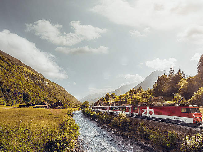
National and international connections (from Zurich airport connections every half hour with about 1h travel time) to Lucerne. Then you can reach the train station Grafenort with the Zentralbahn in half an hour.
Directions
By car, take the A2 (Basel-Gotthard) to Stans Süd, then take the main road for about 12 km to Grafenort.
Parking
Above the restaurant Grafenort you have the possibility to park your car.
Coordinates
Equipment
Sturdy hiking shoes, sun protection, a snack and hiking poles are an advantage.
Weather at the route's trailhead
Statistics
- Route
- Gradient


