Trailrunning
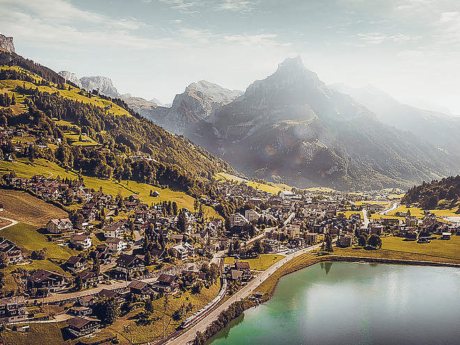
Let yourself be inspired by the varied trails in Engelberg and discover the countless routes that lead you to the most beautiful viewpoints!
Fürenalp-Trail
Trail Running · Engelberg

Responsible for this content
Engelberg-Titlis Tourismus Explorers Choice
Engelberg-Titlis Tourismus Explorers Choice
moderate
Distance 9.8 km
2:02 h
772 m
14 m
1,852 m
1,080 m
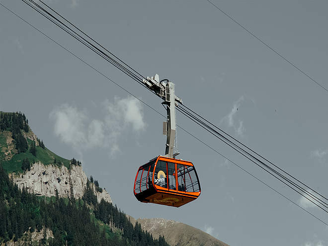
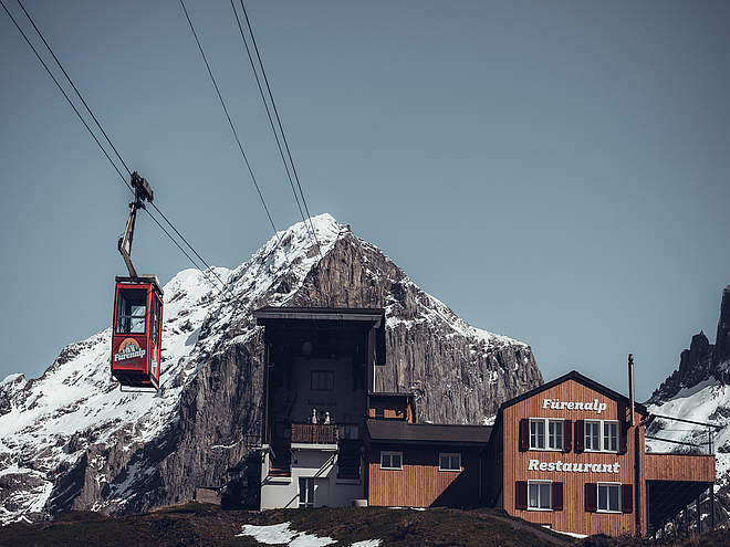
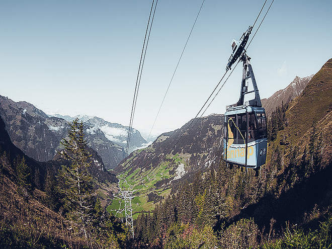
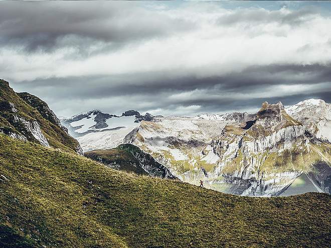
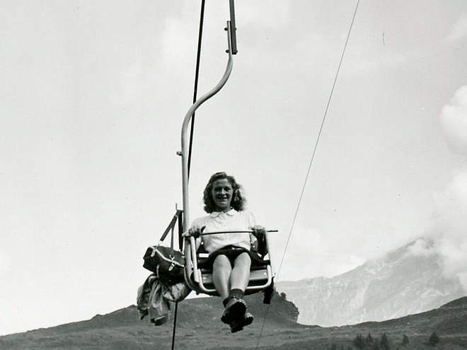
The Fürenalp-Trail leads along the Stierenbach stream to the Stäuber waterfall. Continue past various small alpine huts up to Fürenalp. A breathtaking view of the surrounding mountains awaits you. The trail ends at the mountain station of the Fürenalp cable car, with which you can also have your luggage transported up on request.

Author
Engelberg - Titlis Tourismus Update: May 26, 2020
Difficulty
moderate
Technique
Stamina
Experience
Landscape
Highest point
1,852 m
Lowest point
1,080 m
Track types
Show elevation profileSafety information
When planning, take note of the summer sports report on https://www.engelberg.ch/en/open-trails/summer/ where it is indicated whether the hiking trails are open.
Tips and suggestions
Open Trails: https://www.engelberg.ch/en/open-trails/summer/
Gastronomy: https://www.engelberg.ch/en/dining/gastronomy/
Accommodations: https://www.engelberg.ch/en/accommodation-online-bookable/#/accommodations
Start
Fürenalp valley station
Coordinates:
SwissGrid
2'677'160E 1'183'895N
DD
46.801750, 8.449430
DMS
46°48'06.3"N 8°26'57.9"E
UTM
32T 457988 5183280
w3w
///gong.juror.blotchy
Destination
Fürenalp mountain station
Public transport
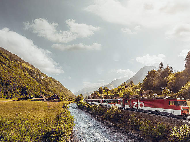
National and international connections (from Zurich airport connections every half hour with approx. 1 hour travel time) to Lucerne. Then with the Zentralbahn in 43 minutes through varied landscape and gorges up to Engelberg.Directions
By car, take the A2 (Basel-Gotthard) to Stans Süd, then take the main road 20 km to Engelberg. Engelberg is 30 minutes from Lucerne, 1 hour and 15 minutes from Basel, Zurich or Bern.Parking
Parking spaces are available in Engelberg for a fee.Coordinates
SwissGrid
2'677'160E 1'183'895N
DD
46.801750, 8.449430
DMS
46°48'06.3"N 8°26'57.9"E
UTM
32T 457988 5183280
w3w
///gong.juror.blotchy
Get there by train, car, bike, or on foot!
Difficulty
moderate
Distance
9.8 km
Duration
2:02 h
Ascent
772 m
Descent
14 m
Highest point
1,852 m
Lowest point
1,080 m
Weather at the route's trailhead
Statistics
Maps and trails
- Route
- Gradient
km Distance
: h Duration
m Ascent
m Descent
m Highest point
m Lowest point


