Trailrunning
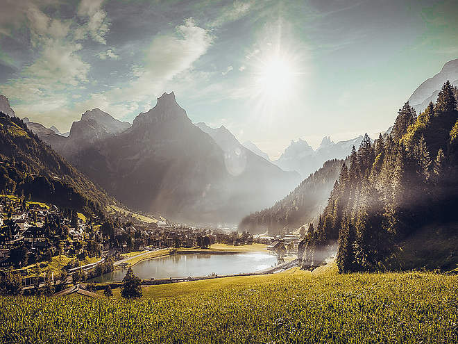
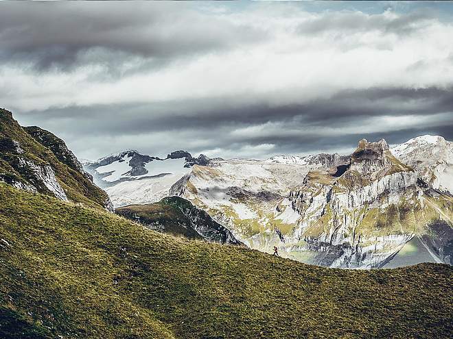
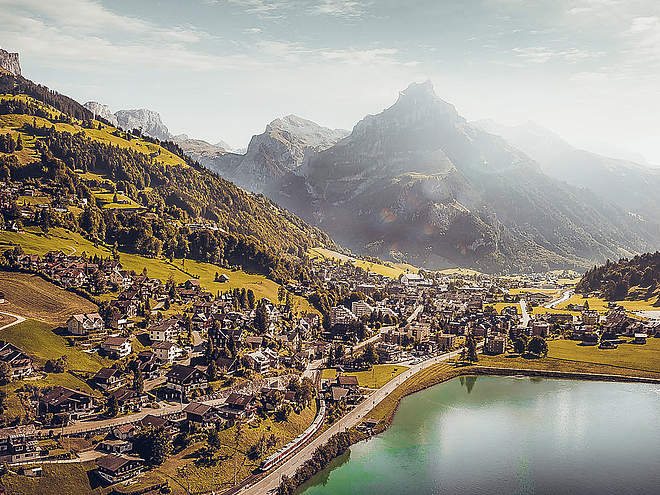
Let yourself be inspired by the varied trails in Engelberg and discover the countless routes that lead you to the most beautiful viewpoints!
Gerschni Loop
Trail Running · Switzerland

Responsible for this content
Engelberg-Titlis Tourismus Explorers Choice
Engelberg-Titlis Tourismus Explorers Choice
Easy trail with beautiful mountain panorama!
easy
Distance 9.2 km
1:41 h
308 m
308 m
1,260 m
995 m
A varied trail leads you from the Bänklialp through the Gerschniwald forest to the Gerschni plateau. On the Gerschni you cross the plateau between cow meadows, forests and moors. From Untertrübsee you descend on old stairs and paths back to the valley.
Author’s recommendation
ski jump, high moor, alpine cheese dairies Gerschni & Untertrübsee

Author
Engelberg - Titlis Tourismus Update: July 27, 2020
Difficulty
easy
Technique
Stamina
Experience
Landscape
Highest point
1,260 m
Lowest point
995 m
Best time of year
Jan
Feb
Mar
Apr
May
Jun
Jul
Aug
Sep
Oct
Nov
Dec
Track types
Asphalt
1.1 km
Forested/wild trail
5 km
Path
1.3 km
Road
1.8 km
Start
Bänklialp
Coordinates:
SwissGrid
2'673'855E 1'186'034N
DD
46.821361, 8.406483
DMS
46°49'16.9"N 8°24'23.3"E
UTM
32T 454727 5185483
w3w
///lovely.clear.procured
Destination
Stapfmattli
Turn-by-turn directions
Bänklialp, Gerschni, Untertrübsee, Stapfmattli
Coordinates
SwissGrid
2'673'855E 1'186'034N
DD
46.821361, 8.406483
DMS
46°49'16.9"N 8°24'23.3"E
UTM
32T 454727 5185483
w3w
///lovely.clear.procured
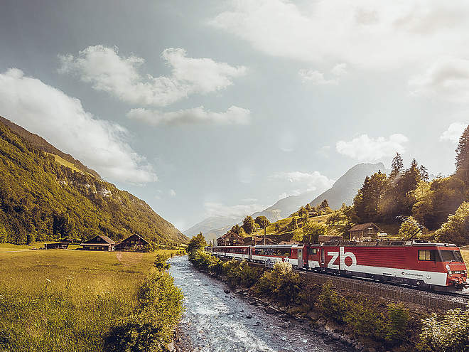
Get there by train, car, bike, or on foot!
Difficulty
easy
Distance
9.2 km
Duration
1:41 h
Ascent
308 m
Descent
308 m
Highest point
1,260 m
Lowest point
995 m
Weather at the route's trailhead
Statistics
Maps and trails
- Route
- Gradient
km Distance
: h Duration
m Ascent
m Descent
m Highest point
m Lowest point


