ALPINE CHEESE TRAIL
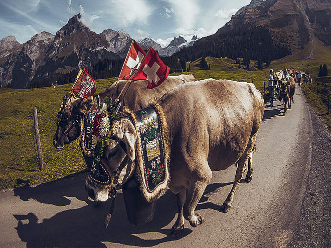
Passing by seven different Alpine dairies, the Alpine Cheese Trail is an attractive hiking route through Engelberg’s varied natural landscape. At the farms, you will learn all there is to know about traditional Alpine cheeses and the hard lives of the Alpine farmers who graze their animals up in the mountains each summer.
Via ferrata Fürenwand
Via Ferrata · Engelberg

Responsible for this content
Engelberg-Titlis Tourismus Explorers Choice
Engelberg-Titlis Tourismus Explorers Choice
The Fürenwand is an impressively steep and high wall. Before the via ferrata was established, only a technically very demanding climbing route led through this wall. Very experienced via ferrata climbers will now have their true joy on this climb.
difficult
Distance 6.8 km
4:30 h
776 m
776 m
1,842 m
1,066 m
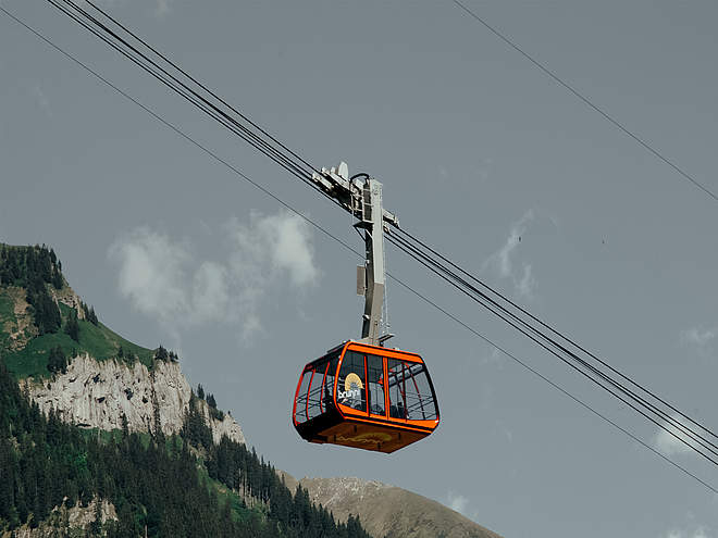
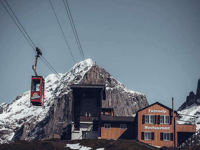
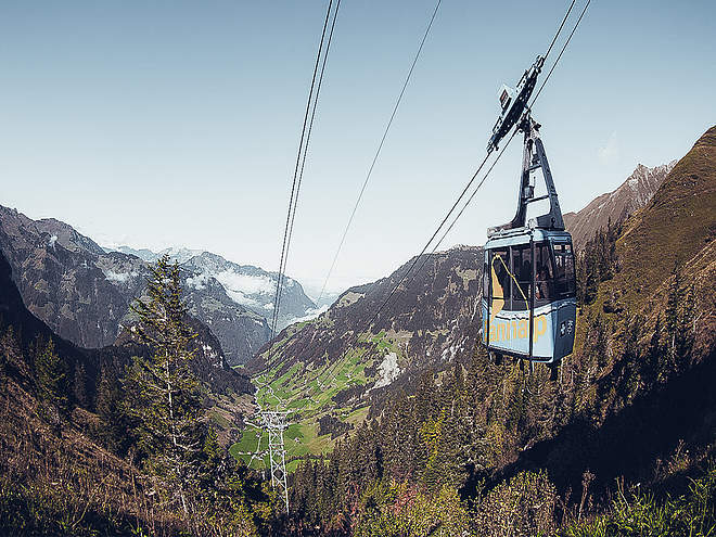
The Fürenwand via ferrata leads through the towering Fürenwand. It is steep and extremely exposed. The route is spectacular. The protection of the via ferrata is excellent. The Fürenwand is exposed to the southwest. Orientation is easy. The Fürenalp directly above the wall invites you to stop for a break. With the Fürenalpbahn you can save yourself the descent. Alternatively, a hiking trail leads down into the valley. An extremely exposed rope ladder is certainly the highlight and at the same time the key point of the climb.

Author
Engelberg - Titlis Tourismus Update: August 22, 2022
Difficulty
D/Edifficult
Stamina
Experience
Landscape
Highest point
1,842 m
Lowest point
1,066 m
Best time of year
Jan
Feb
Mar
Apr
May
Jun
Jul
Aug
Sep
Oct
Nov
Dec
Cardinal direction
Track types
Asphalt
0.8 km
Path
4.9 km
Road
0.6 km
Via ferrata
0.3 km
Unknown
0.2 km
Safety information
The via ferrata is only suitable for very experienced climbers! Excellent surefootedness, head for heights and great arm strength are required! It is recommended to check the current weather forecast for the target region.Tips and hints
At the top station of the cable car Fürenalp, which is also the end point of the via ferrata, you will find the mountain.
Start
Parking lot valley station Fürenalpbahn (1,079 m)
Coordinates:
SwissGrid
2'677'129E 1'183'930N
DD
46.802063, 8.449038
DMS
46°48'07.4"N 8°26'56.5"E
UTM
32T 457958 5183315
w3w
///hounded.butchers.snippet
Destination
Parking lot valley station Fürenalpbahn (1,079 m)
Public transport
National and international connections (from Zurich airport connections every half hour with approx. 1h travel time) to Lucerne. Then with the Zentralbahn in 43 minutes through a varied landscape up to Engelberg. Once in Engelberg, you can take the bus to the Fürenalp cableway.Directions
By car, take the A2 (Basel-Gotthard) to Stans Süd, then take the main road 20 km to Engelberg. Engelberg is 30 minutes from Lucerne, 1 hour and 15 minutes from Basel, Zurich or Bern.Parking
Parking spaces are available for a fee in Engelberg and at the Fürenalp cableway.Coordinates
SwissGrid
2'677'129E 1'183'930N
DD
46.802063, 8.449038
DMS
46°48'07.4"N 8°26'56.5"E
UTM
32T 457958 5183315
w3w
///hounded.butchers.snippet
Get there by train, car, bike, or on foot!
Equipment
Via ferrata equipment with rockfall helmet and via ferrata gloves, possibly climbing shoes and additional short fixation to relieve the arms (break possibility).Difficulty
D/Edifficult
Distance
6.8 km
Duration
4:30 h
Ascent
776 m
Descent
776 m
Highest point
1,842 m
Lowest point
1,066 m
Weather at the route's trailhead
Statistics
Maps and trails
Distance km
Duration: h
Ascent m
Descent m
Highest point m
Lowest point m


