ALPINE CHEESE TRAIL
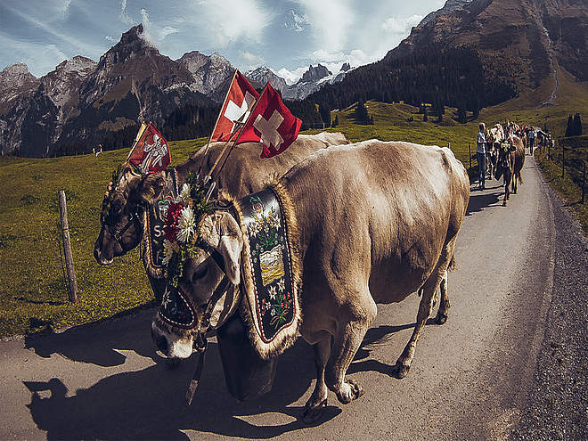
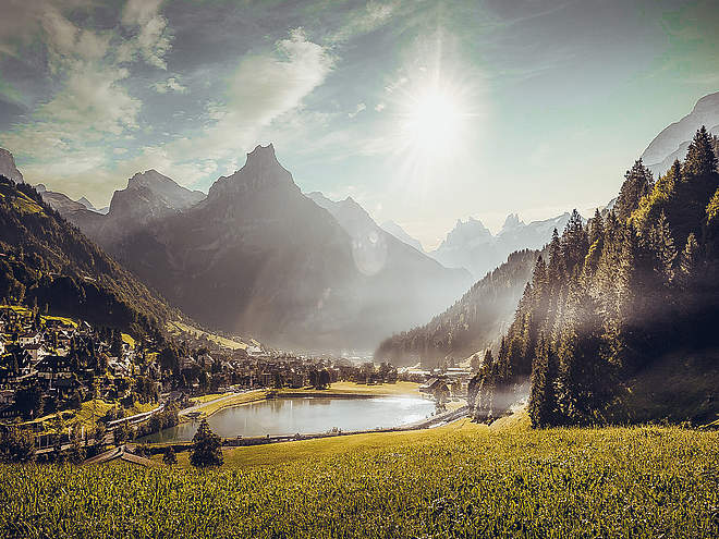
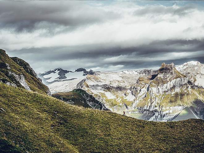
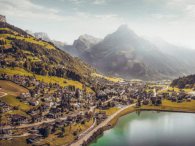
Passing by seven different Alpine dairies, the Alpine Cheese Trail is an attractive hiking route through Engelberg’s varied natural landscape. At the farms, you will learn all there is to know about traditional Alpine cheeses and the hard lives of the Alpine farmers who graze their animals up in the mountains each summer.
Climbing garden Wissberg
Alpine Climbing · Switzerland

Responsible for this content
Engelberg-Titlis Tourismus Explorers Choice
Engelberg-Titlis Tourismus Explorers Choice
The climbing garden Wissberg lies in the midst of the magnificent mountain scenery of Schlossberg, Spannort and Titlis. Not only the vertical movement makes the heart beat faster, but also the unique mountain panorama. A climbing garden for beginners but also for experts.
Distance 2.2 km
3:04 h
463 m
9 m
2,295 m
1,832 m
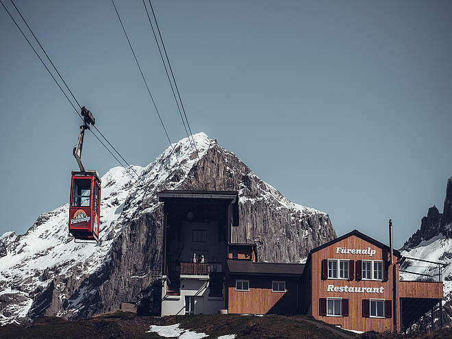
The entrance to the climbing garden takes place after approx. one hour hiking time from the mountain station Fürenalp at 2200 meters above sea level. Optimal even on mild winter days! With over 46 routes in the difficulty levels 3c to 7a the climbing area Wissberg offers a lot of variety. The rock is rough, handy and of maximum quality. Some of the routes offer tricky climbing on beautiful limestone structures and over slabs. The area Wissberg - Fürenalp is registered in the book outdoor Guide Engelberg or in the climbing guide Plaisir Ost.
Author’s recommendation
Pure relaxation awaits you in the Fürenalp mountain restaurant. Let us spoil you. The overnight stay on Fürenalp is also a special experience. Extend your climbing day and overnight stay to 1850 m above sea level in the mountain room or in the alpine hut.

Author
Engelberg - Titlis Tourismus Update: December 20, 2019
Highest point
2,295 m
Lowest point
1,832 m
Track types
Forested/wild trail
1.2 km
Path
0.9 km
Tips and hints
Start
Fürenalp
Coordinates:
SwissGrid
2'678'608E 1'183'855N
DD
46.801216, 8.468393
DMS
46°48'04.4"N 8°28'06.2"E
UTM
32T 459434 5183211
w3w
///influence.eternally.descended
Destination
Climbing garden Wissberg
Public transport
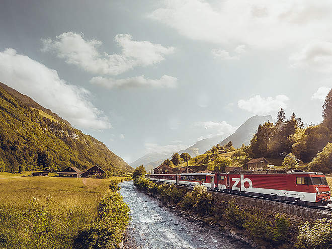
National and international connections (from Zurich airport connections every half hour with approx. 1h travel time) to Lucerne.Afterwards with the Zentralbahn in 43 minutes through varied landscape and gorges up to Engelberg.Directions
By car you drive on the A2 (Basel-Gotthard) to Stans Süd, then on the main road 20 km to Engelberg. Engelberg is 30 minutes from Lucerne, 1 hour and 15 minutes from Basel, Zurich or Bern.Parking
Parking spaces are available in Engelberg for a fee.Coordinates
SwissGrid
2'678'608E 1'183'855N
DD
46.801216, 8.468393
DMS
46°48'04.4"N 8°28'06.2"E
UTM
32T 459434 5183211
w3w
///influence.eternally.descended
Get there by train, car, bike, or on foot!
Equipment
The sports shops in Engelberg offer a wide range of climbing accessories for rent and buy.
Distance
2.2 km
Duration
3:04 h
Ascent
463 m
Descent
9 m
Highest point
2,295 m
Lowest point
1,832 m
Weather at the route's trailhead
Statistics
Maps and trails
Distance km
Duration: h
Ascent m
Descent m
Highest point m
Lowest point m


