ALPINE CHEESE TRAIL
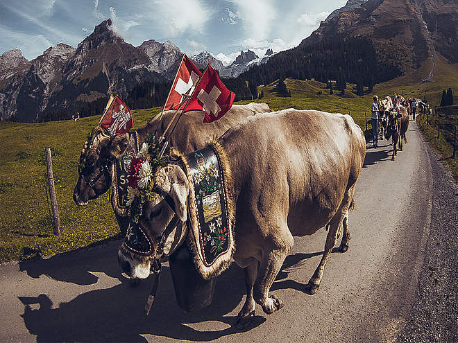
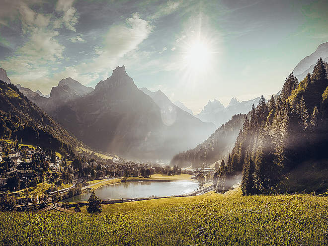
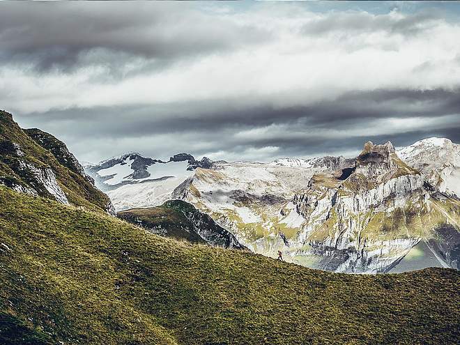
Passing by seven different Alpine dairies, the Alpine Cheese Trail is an attractive hiking route through Engelberg’s varied natural landscape. At the farms, you will learn all there is to know about traditional Alpine cheeses and the hard lives of the Alpine farmers who graze their animals up in the mountains each summer.
Steintäli

Engelberg-Titlis Tourismus Explorers Choice
The descents around the "Steintäli" from the mountain station of the Jochstock-Express partly lead to the Engstlensee. Traversed or ascended west, in the direction of Wendenlücke, the freerider will also find a few days after the snowfall a little more unspoilt terrain.
Comments
- A rewarding option is the skitour to the top of Wendenlücke
- descent form 2564m.üM - 1890m.ü.M
It is recommended to hire a mountain guide
Author’s recommendation
Safe powder fun at the Snow & Safety Days.

Track types
Show elevation profileSafety information
Safety tips for off-piste skiing
- Please note that you are travelling at your own risk.
- A departure must be carefully planned.
- Appropriate equipment (avalanche transceiver, probe, shovel, airbag) and clothing are essential safety factors.
- The local ski and mountain guides will take you safely to your destination and back home.
- Emergency call REGA telephone number 1414
Tips and hints
Start
Destination
Turn-by-turn directions
Public transport
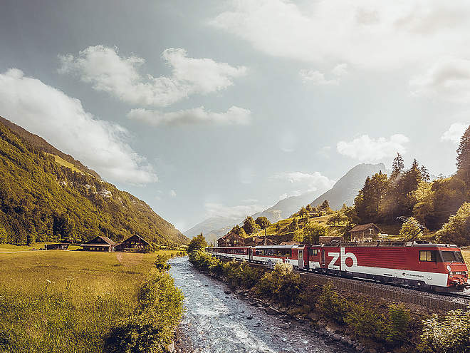
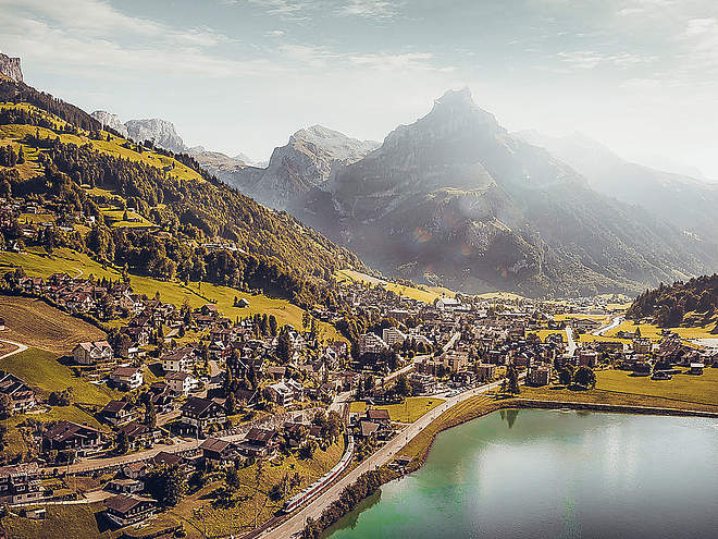
National and international connections (from Zurich airport connections every half hour with approx. 1h travel time) to Lucerne. Afterwards with the Zentralbahn in 43 minutes through varied landscape and gorges up to Engelberg.Directions
By car you drive on the A2 (Basel-Gotthard) to Stans Süd, then on the main road 20 km to Engelberg. Engelberg is 30 minutes from Lucerne, 1 hour and 15 minutes from Basel, Zurich or Bern.Parking
Parking spaces are available in Engelberg for a fee.Coordinates
Equipment
The equipment can be rented in the sports shops of Engelberg.


