Bike Trails
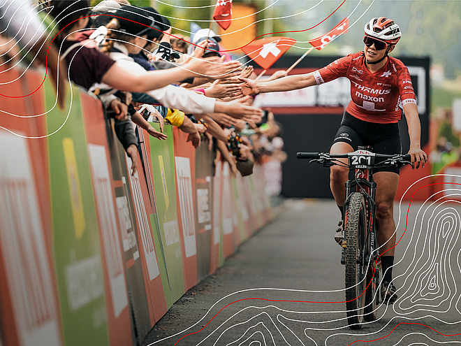
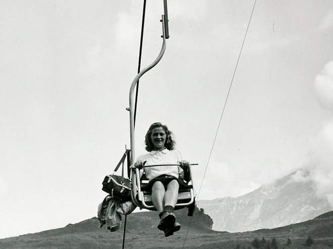
Let it rip on the three trails on the Jochpass and recover from your runs on the chairlift ride up the mountain. 100% fun is guaranteed!
Via ferrata Graustock

Engelberg-Titlis Tourismus Explorers Choice
For the less experienced, it is also possible to climb up to the Schafberg (easier via ferrata, K3-K4) and take the exit there. From the Schafberg, you can exit to the left and walk to the hiking trail, which is marked white-red-white. From there, there is a hiking trail up to the ridge in front of the Graustock.
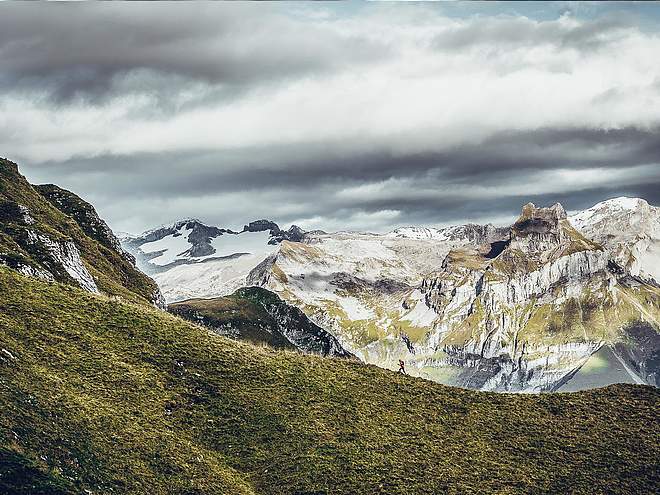
In early summer, large snow cornices can still protrude over the ridge, also snow bridges over the karst areas can collapse when stepped on. So caution is advised in these places! Orientation is easy in good visibility, but in poor visibility the descent can be a challenge. The ridge is exposed on the southeast side. Pay special attention to the weather forecast, as the entire tour is very exposed and offers no exit possibility.

Track types
Safety information
The via ferrata is only suitable for very experienced climbers! Surefootedness and a head for heights are a prerequisite. It is recommended to check the current weather forecast for the destination region.Tips and hints
Start
Destination
Turn-by-turn directions
Ascent:
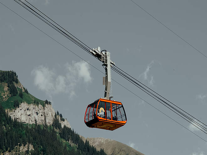
We take the Engelberg-Trübsee gondola lift first to the Trübsee station, then the chairlift further up to the Jochpass (2207 m).
Route:
From the Jochpass, a signpost directs us to the white-blue-white marked trail. We follow the southeast ridge of the Graustock to the first upswing (20 vertical meters).the wire rope leads us to the point Rot Nollen (2309 m, Swisstopo, A/B). The marked path leads us to the second rocky upswing (60 vertical meters). We continue steeply over grass and rock and along the wire ropes to the Schafberg (2522 m). From here the marked path leads over stone slabs and scree to the steepest upswing on the ridge. Slightly to the left of the main ridge, the route leads us up an approximately 80 m high pillar (C/D) with the help of steps and treads and to the next high saddle. We follow the trail until we get back to the ridge proper and follow it up with the help of wire ropes to the summit at 2661m.
Descent:
From the summit we follow the wire ropes back along our ascent route to the marked junction. Here we turn to the right and descend southwards step by step into the Schaftal. We always follow the white-blue-white markings until our path meets the white-red-white marked hiking trail at point 2324 m (Swisstopo), which leads us back to the left to the Jochpass.
Public transport
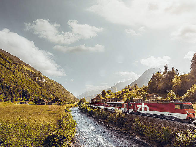
National and international connections (from Zurich airport connections every half hour with approx. 1h travel time) to Lucerne. Then with the Zentralbahn in 43 minutes through a varied landscape up to Engelberg. Once in Engelberg, you can take the bus to the TITLIS cableway or walk for about 10 minutes.Directions
By car, take the A2 (Basel-Gotthard) to Stans Süd, then take the main road 20 km to Engelberg. Engelberg is 30 minutes from Lucerne, 1 hour and 15 minutes from Basel, Zurich or Bern.
Parking
Parking spaces are available for a fee in Engelberg and at the TITLIS cableway.


