Bike Trails
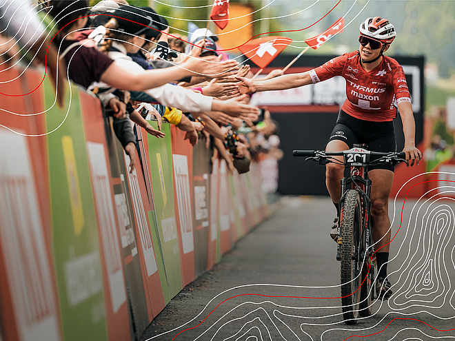
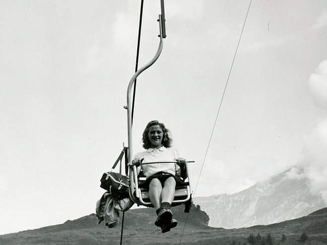
Let it rip on the three trails on the Jochpass and recover from your runs on the chairlift ride up the mountain. 100% fun is guaranteed!
Via ferrata Rigidalstock

Engelberg-Titlis Tourismus Explorers Choice
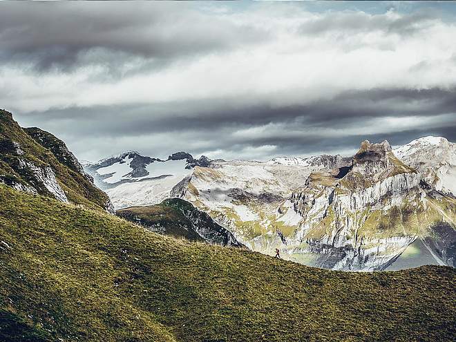
High above Engelberg, the via ferratas lead to the Rigidalstock, which has become a popular summit destination since the routes were established. The via ferratas offer some original passages. The views of the surrounding high mountains are stunning. The climb can be wonderfully combined with the Brunnistöckli via ferrata or the Zittergrat via ferrata on the Brunnistöckli. The orientation of the via ferrata is mainly south-facing and west-facing. They are excellently secured. The approach is easy to find in good visibility, but in bad visibility orientation can quickly become a challenge. With the Brunnihütte, there is a refreshment stop directly on the trail. <br/>The via ferrata offers two variants:
Rigidalstockgrat:
only this climb, with a difficulty of C (K3), is suitable for the ascent and the descent, as well as for beginners
Rigidalstockwand (west):
this climb corresponds to difficulty level D (K4) and should only be climbed by experienced climbers and only in the ascent.
The tour pictured here runs in the ascent over the Rigidalstockwand, in the descent over the Rigidalstockgrat.

Track types
Safety information
The via ferrata is suitable for experienced via ferrata climbers, surefootedness, head for heights and arm strength are required. It is recommended to check the current weather forecast for the destination region.Start
Destination
Turn-by-turn directions
Turn-by-turn directions
Ascent:
From the top station of the chairlift next to the Brunni Hut, we ascend via the blue-white-blue marked hiking trail (signposted "Rigidal- Via ferrata"). Alternatively, we can also reach Schonegg via the Brunnistöckli via ferrata or the Zittergrat via ferrata. Now we keep left on the meadow ridge and climb uphill over a slope ridge called "Uf den Stucklenen" (2180 m). The markings (blue-white) lead us in blocky terrain to the rugged slope below the southern ridge of the Ridigalstock. There the paths divide, we keep left and reach the entrance to the Rigidalstock wall.
Route:
From the start, we reach an easy traverse to a crack, then we go up through slab-interspersed terrain to an overhang. With excellent difficulty D, this is the key point of the climb. Continuing on, it is easier up a slab to a small resting bench, then up through a small cave to the "Adlerhorst". There we meet the path that leads up from the Rigidalstock ridge, over which we later descend. But first there are still some belays to the summit ahead of us.
For the descent we first climb the first part back to the crossroads. Now, however, we no longer descend via the Rigidalstockwand, but via the ridge. To do this, we keep to the left on the scree ridge and climb over iron stirrups over a 30 m high and rather steep slab. Wire rope protections lead us over stepped rock down to the ridge and further down through a gully. At the end, it goes over a band to the exit.
Descent:
The marked path leads us back to Schonegg and we then climb the steep grassy slope back to the Brunnihütte in a few minutes.
Public transport
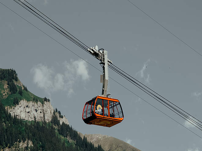
National and international connections (from Zurich airport connections every half hour with approx. 1h travel time) to Lucerne. Then with the Zentralbahn in 43 minutes through a varied landscape up to Engelberg. Once in Engelberg, you can take the bus to the Brunni cableway or walk. Take the gondola lift up to the Brunni and then the chairlift to the Brunnihut.Directions
By car, take the A2 (Basel-Gotthard) to Stans Süd, then take the main road 20 km to Engelberg. Engelberg is 30 minutes from Lucerne, 1 hour and 15 minutes from Basel, Zurich or Bern.
Parking
Parking spaces are available for a fee in Engelberg and at the Brunni cableway.


