Bike Trails
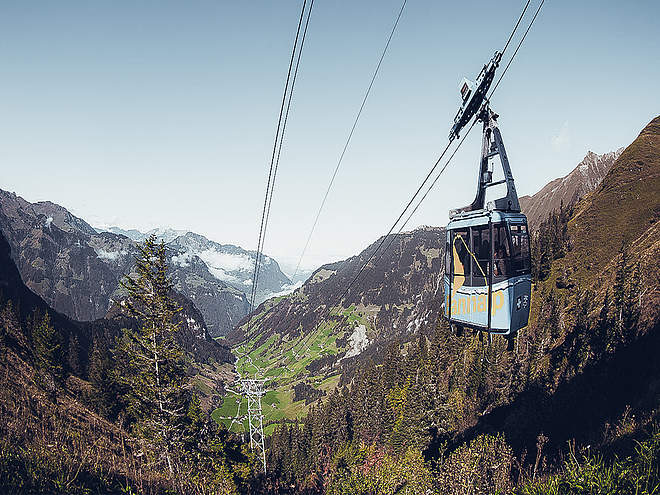
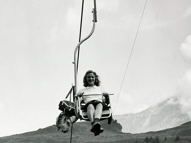
Let it rip on the three trails on the Jochpass and recover from your runs on the chairlift ride up the mountain. 100% fun is guaranteed!
Kloster Erlen track / night track
Cross-Country Skiing · Switzerland

Responsible for this content
Engelberg-Titlis Tourismus Explorers Choice
Engelberg-Titlis Tourismus Explorers Choice
The Kloster Erlen track is centrally located in Engelberg and is ideal for cross-country skiing beginners.
easy
Distance 0.8 km
0:09 h
2 m
2 m
1,004 m
1,002 m
The starting point of the Kloster Erlen cross-country skiing track is the Nordic Center, where you will find parking spaces, checkrooms and a ski waxing station. The practically flat and short track is ideal for cross-country skiing beginners and is part of the Heart track as well as the night track.
For all night owls, the cross-country trail is illuminated every Tuesday and Thursday from 18.00-21.00 hours, weather permitting.
Author’s recommendation
- The restaurant in the Nordic Center offers a pleasant opportunity to defrost clammy feet.

Author
Engelberg - Titlis Tourismus Update: December 03, 2020
Difficulty
easy
Stamina
Experience
Landscape
Highest point
1,004 m
Lowest point
1,002 m
Track types
Show elevation profileTips and hints
Start
Nordic Center Engelberg
Coordinates:
SwissGrid
2'673'780E 1'185'696N
DD
46.818331, 8.405451
DMS
46°49'06.0"N 8°24'19.6"E
UTM
32T 454646 5185147
w3w
///magpie.scare.dumplings
Destination
Nordic Center Engelberg
Coordinates
SwissGrid
2'673'780E 1'185'696N
DD
46.818331, 8.405451
DMS
46°49'06.0"N 8°24'19.6"E
UTM
32T 454646 5185147
w3w
///magpie.scare.dumplings
Get there by train, car, bike, or on foot!
Equipment
The cross-country skiing equipment can be rented in the sports shops in Engelberg.
Difficulty
easy
Distance
0.8 km
Duration
0:09 h
Ascent
2 m
Descent
2 m
Highest point
1,004 m
Lowest point
1,002 m
Weather at the route's trailhead
Statistics
Maps and trails
Distance km
Duration: h
Ascent m
Descent m
Highest point m
Lowest point m


