Bike Trails
The region’s clearly marked mountain bike tours offer thrilling expeditions through beautiful natural landscapes for cyclists of all abilities. There are tours that include cable car trips, trails offering plenty of flow, and routes with challenging ascents. However you prefer to ride, the Engelberg region has the ideal tour for you.
4-Lakes bike route in Engelberg

Engelberg-Titlis Tourismus Verified partner
The route starts at Engelberg train station. From there, head to the valley station of the TITLIS cable cars and continue on the paved Gerschnistrasse towards Untertrübsee. Warning: You may encounter work traffic on this section. After the Untertrübsee alp, a gravel path branches off to the left – now endurance is required.
The coarse gravel and steep ascent demand a lot from you – stamina and riding technique are essential. But: The view of the Titlis and the anticipation of the chairlift from Trübsee make up for all the effort. You can comfortably overcome the approximately 400 meters in altitude with the chairlift to the Jochpass.
At the top awaits a wonderful singletrail – flowing, scenic, and full of riding fun. The Engstlensee lies deep blue before you – perfect for a break or a short cooldown.
Then follows a push section of about 600 meters along the Spycherflue up to Tannalp. From here it gets comfortable: you roll down a wide paved road along the Tannalpsee towards Melchsee. Surrounded by alpine meadows and mountain scenery, enjoy the descent to Melchsee-Frutt.
From here, follow the Melchtalerstrasse to Stöckalp – note: this section is only passable downhill at odd hours (e.g. 11:00–11:40).
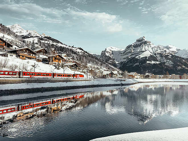
The return to the valley goes through the Melch valley, past St. Niklausen to the village center of Kerns. From there, the route continues towards Stans, where you board the train. The Zentralbahn takes you comfortably back to Engelberg (hourly at xx:24).
Author’s recommendation
Buy a combined ticket for using the train.
Engelberg-Titlis Tourismus Verified partner
Derived from the technical difficulty and the stamina requirements.
Track types
Safety information
Expect work traffic on the road between Gerschnistrasse and Untertrübsee.
The Melchtalerstrasse leading to Stöckalp is only passable downhill at odd hours (e.g. 11:00–11:40).
Tips and suggestions
Roadbook
Bahnhof Engelberg.
Engelberg
Engelberg, Bahnhof
Station Engelberg
Saumboden
Engstlensee
Engstlensee
Pine lake
Tannensee
Milking Lake
Melchsee-Frutt panorama lift
Melchsee
Vorder Teufibach
Sankt Niklausen
Melchsee-Frutt
Halten
Stans, Winkelried-Denkmal
Stans, Bahnhof
Stans
Public transport
Public-transport-friendly
National and international connections (from Zurich Airport, connections every half hour with about 1h travel time) to Lucerne. Then with the Zentralbahn in 43 minutes through varied landscapes and gorges up to Engelberg.Directions
By car, take the A2 (Basel-Gotthard) to Stans South, then 20 km on the main road to Engelberg. Engelberg is 30 minutes from Lucerne, 1 hour and 15 minutes from Basel, Zurich, or Bern.Parking
Parking is available in Engelberg for a fee.Coordinates
Equipment
The sports shops in Engelberg offer a wide range of bikes and accessories for rent and purchase. It’s also worth stopping by for repairs and spare parts.
Localization
Derived from the technical difficulty and the stamina requirements.


