Bike Trails
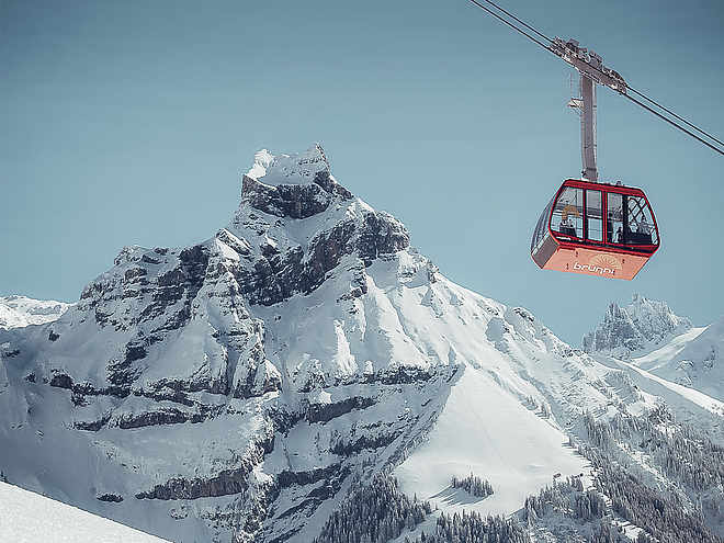
The region’s clearly marked mountain bike tours offer thrilling expeditions through beautiful natural landscapes for cyclists of all abilities. There are tours that include cable car trips, trails offering plenty of flow, and routes with challenging ascents. However you prefer to ride, the Engelberg region has the ideal tour for you.
Bikeroute Surenen Pass

Engelberg-Titlis Tourismus Verified partner
The route starts flat through the village past the impressive monastery and continues towards the Fürenalp cable car. The valley narrows and the surface changes to gravel after about 1.5 km. It steadily climbs past Herrenrüti and the Alpenrösli restaurant on to the Alpkäserei/Mountain inn Stäfeli. At Alp Stäfeli, the gravel road leads right and crosses the Stierenbach stream. From there, the route ascends and descends on the right side of the valley along a forest road, below the cliffs of the Spannörter, past the Stäuber waterfall. The path then leads right towards Blackenalp. At Blackenalp, take a break with a magnificent view of the mountain world – the Spannörter and the Surenen Pass ahead – and recharge energy for the final climb to the Surenen Pass at the Blackenalp alpine hut. Energized, continue steadily upwards, sometimes riding your bike, sometimes walking beside it, but always looking forward to reaching the pass height soon. The view of the Urner Alps will make you forget all the effort. From the highest point of the route to Alp Waldnacht, a very demanding singletrail awaits. At the lake in front of Alp Waldnacht, turn right onto another singletrail. From Zieriberg, road and singletrail alternate until you reach the valley floor.
For the return to Engelberg, various options are available. Those who want to stay longer in the saddle can cycle back via Seelisberg/Emmetten/Dallenwil to Engelberg. More relaxed alternatives are to return by train from Erstfeld or by boat from Flüelen towards Engelberg.
Author’s recommendation
- Stopover at one of the alpine huts/restaurants along the way
- If you want to save some elevation gain, you can shorten the route with the Fürenalp cable car or the Stäfeli-Äbnet cable car (check opening hours)
Engelberg-Titlis Tourismus Verified partner
Derived from the technical difficulty and the stamina requirements.
Track types
Safety information
The descent from the Surenen Pass is suitable only for experienced bikers.Tips and suggestions
Public transport
Public-transport-friendly
National and international connections (from Zurich Airport connections every half hour with approx. 1h travel time) to Lucerne. Then with the Zentralbahn in 43 minutes through varied landscapes and gorges up to Engelberg.Directions
By car, take the A2 (Basel-Gotthard) to Stans Süd, then follow the main road 20 km to Engelberg. Engelberg is 30 minutes from Lucerne, 1 hour and 15 minutes from Basel, Zurich, or Bern.Parking
Parking is available in Engelberg for a fee.Coordinates
Equipment
The bike shops in Engelberg offer a wide range of bikes and accessories for rent and purchase. It’s also worth stopping by for repairs and spare parts.
Localization
Derived from the technical difficulty and the stamina requirements.


