Bike Trails
The region’s clearly marked mountain bike tours offer thrilling expeditions through beautiful natural landscapes for cyclists of all abilities. There are tours that include cable car trips, trails offering plenty of flow, and routes with challenging ascents. However you prefer to ride, the Engelberg region has the ideal tour for you.
Engelberg-Äbnet/Alp Surenen

Engelberg-Titlis Tourismus Verified partner
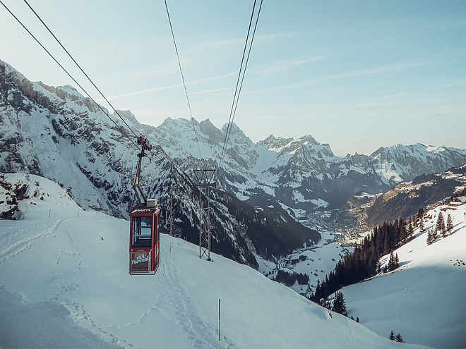
From Engelberg station, you go through the village past the Engelberg monastery towards the valley station of the Fürenalp cable car. On Herrenrütistrasse, it continues steadily uphill into the valley. The surface changes to gravel after about 1.5 km, passing the Alpenrösli Restaurant, known for its rösti and desserts, further to the Stäfeli-Äbnet cable car. Those who prefer a leisurely pace can now take the cable car up to the Äbnet/Alp Surenen. The ride takes about three minutes and leads to the alp located 300 meters higher. Alternatively, you can also ride up under your own power: at Alp Stäfeli, the gravel road branches off to the right and crosses the Stierenbach. From there, you continue on the right valley side over the forest road, up and down, past the flanks of the Spannörter and the Stäuber waterfall, then turn left towards Alp Surenen.
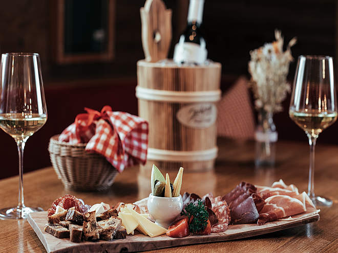
Arriving at Alp Surenen offers a unique panorama with Titlis, Schlossberg, and the large and small Spannort. The perfect moment for a break. At the Alpbeizli Surenen and in the shop of the Surenen alpine cheese dairy, located right next door, various delicacies from the alp are available.
The return to Engelberg leads towards the Stäuber waterfall and from there along the forest road towards Stäfeli. The path now leads either back the same way or follows the left side of the Stierenbach in the direction of Engelberg.
Author’s recommendation
- At the Surenen alpine cheese dairy, around 180,000 liters of milk are processed each summer into alpine cheese, butter, cream, buttermilk, and whey drinks. The products can be purchased directly in the shop next door. A tour of the cheese dairy with tasting is also possible by appointment.
- At the nearby Alp Hobiel, it is possible to stay overnight in the middle of the mountain world.
Engelberg-Titlis Tourismus Verified partner
Derived from the technical difficulty and the stamina requirements.
Track types
Rest stops
Alpbeizli Hobiel SurenenAlpbeizli Surenen auf dem Usseräbnet
Berggasthaus Stäfeli
Restaurant Alpenrösli
Tips and suggestions
Luftseilbahn Stäfeli-Äbnetalp (1'390 müM)
Berggasthaus Stäfeli
Alpkäserei Stäfeli
Alpbeizli Hobiel Surenen
Alpbeizli Surenen auf dem Usseräbnet
ALPKÄSEREI SURENEN
Public transport
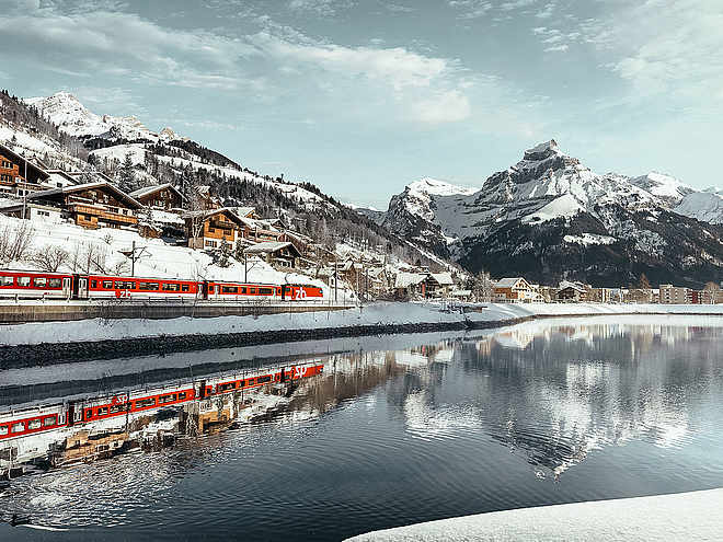
National and international connections (from Zurich Airport, connections every half hour with about 1 hour travel time) to Lucerne. Then by Zentralbahn in 43 minutes through a varied landscape and gorges up to Engelberg.Directions
By car, you drive on the A2 (Basel-Gotthard) to Stans South, then 20 km on the main road to Engelberg. Engelberg is 30 minutes from Lucerne, 1 hour and 15 minutes from Basel, Zurich, or Bern.Parking
Parking is available in Engelberg for a fee.Coordinates
Equipment
The bikeshops in Engelberg offer a wide range of bikes and accessories for rent and purchase. It is also worth stopping by for repairs and spare parts.
Localization
Derived from the technical difficulty and the stamina requirements.


