Bike Trails

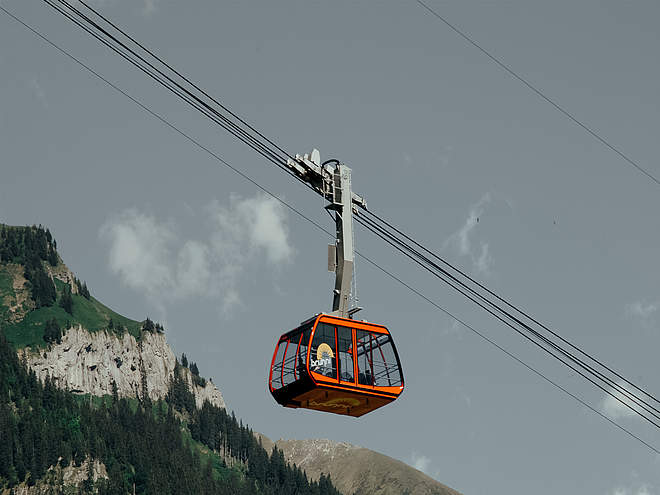
The region’s clearly marked mountain bike tours offer thrilling expeditions through beautiful natural landscapes for cyclists of all abilities. There are tours that include cable car trips, trails offering plenty of flow, and routes with challenging ascents. However you prefer to ride, the Engelberg region has the ideal tour for you.

Mountain Bikerecommended route

Gerschni-Trail

Mountain Bike · Obwalden closed
Logo Engelberg-Titlis Tourismus
Responsible for this content
Engelberg-Titlis Tourismus Explorers Choice 
  • Photo: Engelberg - Titlis Tourismus, Engelberg-Titlis Tourismus
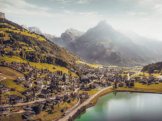
Fun nature trail from the Gerschnialp, above Engelberg, through the Gerschni forest down to the Bänklialp.
closed
moderate
Distance 1.4 km
0:10 h
0 m
207 m
1,225 m
1,018 m

The single trail starts on the Gerschnialp above Engelberg. The natural trail leads right through the Gerschniwald forest and offers flowing but also some tricky sections. Individual sections can be ridden or jumped depending on your speed and ability - fun is guaranteed. The trail ends above the hotel/restaurant Bänklialp, from where you can return to the village via the road.


Getting there

The easiest way to get to the start of the trail is via the tarred Gerschnistrasse road (you must be prepared for industrial traffic) through the forest, up towards Untertrübsee and on to Gerschnialp: Route Engelberg-Gerschnialp
Before the Gerschnialp - Café Ritz inn, the path leads down to the left in the direction of Engelberg to the Gerschniwald.

Author’s recommendation

A culinary stop in one of the surrounding restaurants or in the alpine cheese dairies is worthwhile in any case:

Profile picture of Engelberg - Titlis Tourismus
Author
Engelberg - Titlis Tourismus 
Update: March 06, 2024
Difficulty
S2moderate
Technique
Stamina
Experience
Landscape
Highest point
1,225 m
Lowest point
1,018 m
Best time of year
Jan
Feb
Mar
Apr
May
Jun
Jul
Aug
Sep
Oct
Nov
Dec

Track types

Show elevation profile

Rest stops

GASTHAUS GERSCHNIALP - CAFÉ RITZ

Tips and hints

Start

Gerschnialp
Coordinates:
SwissGrid
2'673'679E 1'184'998N
DD
46.812062, 8.404014
DMS
46°48'43.4"N 8°24'14.5"E
UTM
32T 454531 5184452
w3w 
///rainwater.bedrock.shears

Destination

Bänklialp

Turn-by-turn directions

Gerschnialp-Gerschniwald-Bänklialp

Public transport

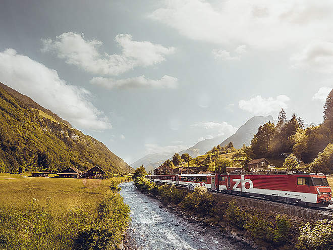
National and international connections (from Zurich airport connections every half hour with approx. 1h travel time) to Lucerne.Afterwards with the Zentralbahn in 43 minutes through varied landscape and gorges up to Engelberg.

Directions

By car you drive on the A2 (Basel-Gotthard) to Stans Süd, then on the main road 20 km to Engelberg. Engelberg is 30 minutes from Lucerne, 1 hour and 15 minutes from Basel, Zurich or Bern.

Parking

Parking spaces are available in Engelberg for a fee.

Coordinates

SwissGrid
2'673'679E 1'184'998N
DD
46.812062, 8.404014
DMS
46°48'43.4"N 8°24'14.5"E
UTM
32T 454531 5184452
w3w 
///rainwater.bedrock.shears
Get there by train, car, bike, or on foot!

Equipment

The bikeshops in Engelberg offer a wide range of bikes and accessories for rent and purchase. Also for repairs and spare parts it is worthwhile to stop by.

Similar routes nearby

  • Map / For-Ever-Trail | Trail-Arena Engelberg
    For-Ever-Trail | Trail-Arena Engelberg
  • Map / Amabubesi | Trail-Arena Engelberg
    Amabubesi | Trail-Arena Engelberg
  • Map / Young-Guns | Trail-Arena Engelberg
    Young-Guns | Trail-Arena Engelberg
  • Map / Songo-Trail | Trail-Arena Engelberg
    Songo-Trail | Trail-Arena Engelberg
  • Map / Sandalen-Trail | Trail-Arena Engelberg
    Sandalen-Trail | Trail-Arena Engelberg
 These suggestions were generated by our system
Status
closed
Difficulty
S2moderate
Distance
1.4 km
Duration
0:10 h
Descent
207 m
Highest point
1,225 m
Lowest point
1,018 m
Linear routeScenicRefreshment stops availableInsider tipSingletrail/Free rideDownhill

Weather at the route's trailhead

Statistics

  • Content
  • Show imagesHide images
Features
Maps and trails
  • 9 Waypoints
  • 9 Waypoints
Distance km
Duration: h
Ascent m
Descent m
Highest point m
Lowest point m
Push the arrows to change the view