Bike Trails
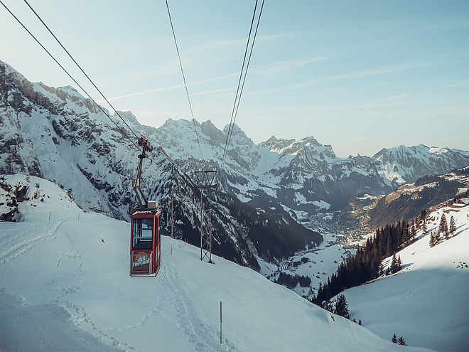
The region’s clearly marked mountain bike tours offer thrilling expeditions through beautiful natural landscapes for cyclists of all abilities. There are tours that include cable car trips, trails offering plenty of flow, and routes with challenging ascents. However you prefer to ride, the Engelberg region has the ideal tour for you.
Hells-Bells Trail Engelberg

Responsible for this content
Engelberg-Titlis Tourismus Verified partner
Engelberg-Titlis Tourismus Verified partner
Selected alternatives for you
With a path width of one meter, the Jochpass–Engstlenalp route is comfortably designed. Nevertheless, some bike-technical challenges await you.
moderate
Distance 1.7 km
0:05 h
0 m
277 m
2,207 m
1,930 m
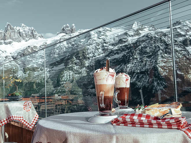
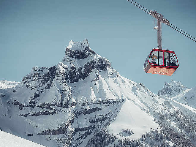
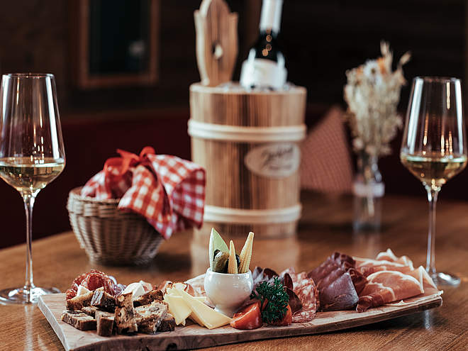
The starting point of this trail is the Jochpass at 2200m above sea level. To get there, take the Titlis Xpress from Engelberg to Trübsee and travel the short distance along Trübsee to the Jochpass chairlift. Once at the top, the fun begins next to the top station of the Engstlen chairlift on the flowing, one-meter-wide trail towards Engstlenalp. On this bike route, riding pleasure is paramount; harmoniously integrated into the landscape, it is by no means only for downhill enthusiasts. You can comfortably return to the start with the chairlift. So much fun gives rise to hunger and thirst. The Berghuis Jochpass has a lot to offer culinarly. “Urner Häfelichabis,” a traditional stew, homemade corn croquettes, the lukewarm chocolate cake, or the meat patties – you have the hard choice. It's sure that it's worth taking a seat on the terrace or fighting for one of the deck chairs. When the day is over, the fun riding doesn't stop. The descent back to the valley goes via the newly created Flowtrail Jochpass-Trübsee (see route description) and from there via Untertrübsee to Engelberg.
Author’s recommendation
View as far as Melchsee-Frutt
Author
Engelberg - Titlis Tourismus
Responsible for this content
Engelberg-Titlis Tourismus Verified partner
Engelberg-Titlis Tourismus Verified partner
Difficulty
S2
moderate
Overall difficulty
moderate
Derived from the technical difficulty and the stamina requirements.
Experience
Landscape
Highest point
2,207 m
Lowest point
1,930 m
Best time of year
Jan
Feb
Mar
Apr
May
Jun
Jul
Aug
Sep
Oct
Nov
Dec
Track types
Forested/wild trail
111 m
Path
1.6 km
Rest stops
Bärghuis JochpassBerghaus Jochpass
Tips and suggestions
Roadbook
Jochpass-Engstlen
Rest stop
Nearby
Top Partner
Waypoint
Start point
End point
Low point
High point
Forecast
Today {low} to {high} and {precipitation} of {precipitation_type}
show {x} more
Photo
Video
Bärghuis JochpassBerghaus Jochpass
Berghaus Jochpass
Ochsenhorn
Bärghuis Jochpass
Bergstation Jochpass
Sesselbahn Engstlensee–Jochpass
Engstlensee
Jochpass
Public transport
National and international connections (from Zurich Airport connections every half hour with about 1 hour travel time) to Lucerne. Then take the Zentralbahn in 43 minutes through varied landscapes and gorges up to Engelberg.Directions
By car, drive on the A2 (Basel-Gotthard) to Stans Süd, then 20 km on the main road to Engelberg. Engelberg is 30 minutes from Lucerne, 1 hour and 15 minutes from Basel, Zurich, or Bern.Parking
Paid parking is available in Engelberg.Coordinates
SwissGrid
2'672'402E 1'181'208N
DD
46.778116, 8.386680
DMS
46°46'41.2"N 8°23'12.0"E
UTM
32T 453179 5180690
w3w
///runner.readjust.condense
Get there by train, car, bike, or on foot!
Equipment
The bikeshops in Engelberg offer a wide range of bikes and accessories for rent and purchase. It's also worth stopping by for repairs and spare parts.
Localization
Parts of this content were machine translated using German as the source language
Difficulty
S2
moderate
Overall difficulty
moderate
Derived from the technical difficulty and the stamina requirements.
Distance
1.7 km
Duration
0:05 h
Descent
277 m
Highest point
2,207 m
Lowest point
1,930 m
Weather at the starting point
Statistics
Maps and trails
Nothing selected - click and drag in the elevation profile to zoom
Distance
Duration
Ascent
Descent


