Bike Trails
The region’s clearly marked mountain bike tours offer thrilling expeditions through beautiful natural landscapes for cyclists of all abilities. There are tours that include cable car trips, trails offering plenty of flow, and routes with challenging ascents. However you prefer to ride, the Engelberg region has the ideal tour for you.
Jochpass-Gental

Engelberg-Titlis Tourismus Verified partner
The descent of this route, with varying start and end points, is literally twice as long as the ascent. It is very impressive because it is not exactly one of the easily rideable trails, as some parts also seem quite dangerous. In terms of landscape, the Gental valley offers incomparable natural beauty alongside steep and rugged valley slopes.
The route starts in Engelberg and goes via Untertrübsee to the Jochpass. It is worth taking the chairlift there. From the Jochpass down to the Engstlensee leads a constructed singletrail (Hells Bells Trail). From the valley station of the Engstlen chairlift to the Engstlenalp, it goes gently along a natural path by the Engstlensee. From there, it is singletrail again until the end of the Gental valley. Afterwards, you ride on the road via Innertkirchen to Meiringen, the end point of the route.
Author’s recommendation
Engelberg-Titlis Tourismus Verified partner
Derived from the technical difficulty and the stamina requirements.
Track types
Tips and suggestions
Note(s) Point 012-014: You must always expect some carry sections of varying lengths on this route. This part is also only recommended in dry conditions, as the exposed spots are particularly dangerous when wet. The train journey from Meiringen to Engelberg goes via Hergiswil and takes about 2 hours. Trains run hourly.Roadbook
Talstation Titlis Bergbahnen
Bärghuis Jochpass
Bergstation Jochpass
Engstlen Lake
Rossboden Hütte
Bahnhof Meiringen
Public transport
Public-transport-friendly
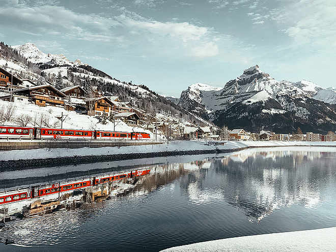
By train to EngelbergParking
Charged parking spaces available at the valley station of the Titlis cable cars or in the village.Coordinates
Equipment
Helmet, gloves, good footwear, glasses, rain and sun protection, water bottle, repair kit, first aid kitLocalization
Derived from the technical difficulty and the stamina requirements.


