Bike Trails
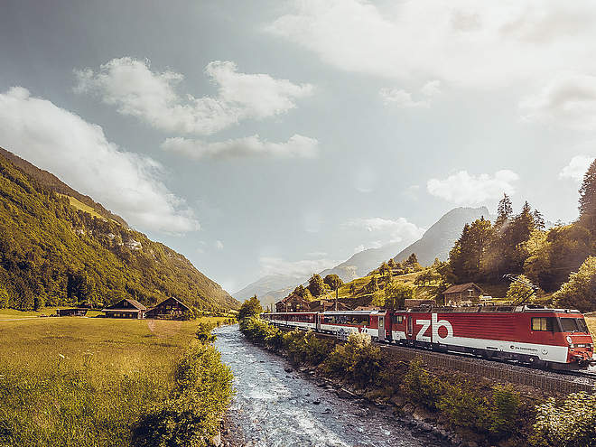
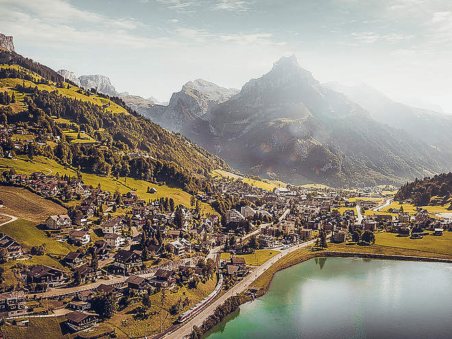
The region’s clearly marked mountain bike tours offer thrilling expeditions through beautiful natural landscapes for cyclists of all abilities. There are tours that include cable car trips, trails offering plenty of flow, and routes with challenging ascents. However you prefer to ride, the Engelberg region has the ideal tour for you.
Stäfeli Engelberg
Mountain Bike · Switzerland

Responsible for this content
Engelberg-Titlis Tourismus Explorers Choice
Engelberg-Titlis Tourismus Explorers Choice
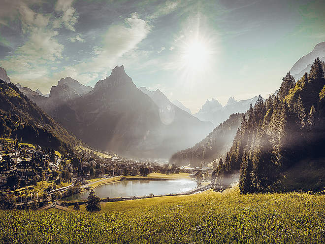
This tour takes bikers into another world. The Niedersurenen valley of the Engelberger Aa leads quietly and almost mysteriously along towards the Surenen pass. Always the massive Spannörter with their special form before your eyes.
easy
Distance 18.1 km
2:08 h
416 m
416 m
1,416 m
1,000 m
The Engelberg railway station is the starting point of the Engelberg-Stäfeli tour. The train starts in the direction of Engelbergerstrasse, where you turn left at the crossroads. The first part goes along this road, past the Sportingpark and the monastery. At the second junction, keep right and turn into Oberbergstrasse. Still flat and on tar you cycle between the last houses of Engelberg. At the end of the houses, the base changes to gravel and the path becomes narrower. If you are calm, you can hear the noise from far away, which slowly becomes a roar. It comes from the waterfall that gives the name to the restaurant on the right side of the road. Passing the valley station of the Führenalpbahn, one initially drives on a tarred road. Soon the road climbs and you are ready to pedal. The valley becomes narrower and after about 1.5km the road forks and becomes a natural road. If it weren't for the noise of the Engelberger Aa, the river that accompanies the bikers on the whole way, it would be almost incredibly quiet and one is almost happy when the restaurant Alpenrösli, hidden by fir trees, appears in front of you. A stop is recommended here. Not only because Bergeizli is known for its Rösti and the good desserts. One should also relax one's legs before the last, short but steep ascent to Stäfeli, the intermediate destination of the route. Resting, you take the last stage under your wheels. With the imposing Spannörter before your eyes, the somewhat coarse gravel and the steep road demand everything from you again. Arriving at the Stäfeli mountain restaurant, the cosy terrace awaits the pumped-out bikers. Tip: If you sign the alp's guestbook, you automatically take part in a raffle with nice prizes at the end of the bike season. Return to Engelberg on the other side of the river. Once again really pedalling and then it's all along the water back to the village. The path crossed by roots is technically more demanding than the outward path but easy to drive. Only at the crossing of the small glacial streams you have to get off the bike for a short time. Shortly before the Fürenalp valley station, the path turns back into the tarred road and leads back to the starting point of the tour via the waterfall road.
Author’s recommendation
Stop at Restaurant Stäfeli. Enter your name in the guestbook and automatically take part in a raffle with nice prizes at the end of the bike season.

Author
Engelberg - Titlis Tourismus Update: August 12, 2021
Difficulty
S1easy
Stamina
Experience
Landscape
Highest point
1,416 m
Lowest point
1,000 m
Best time of year
Jan
Feb
Mar
Apr
May
Jun
Jul
Aug
Sep
Oct
Nov
Dec
Track types
Asphalt
1.8 km
Forested/wild trail
5.5 km
Path
2.4 km
Road
8.4 km
Tips and suggestions
Start
Engelberg train station
Coordinates:
SwissGrid
2'673'581E 1'185'836N
DD
46.819608, 8.402864
DMS
46°49'10.6"N 8°24'10.3"E
UTM
32T 454449 5185291
w3w
///ruled.louder.speakers
Destination
Stäfeli
Turn-by-turn directions
Engelberg-Wasserfall-Herrenrüti-Alpenrösli-Stäfeli
Public transport
Public-transport-friendly
National and international connections (from Zurich airport connections every half hour with approx. 1h travel time) to Lucerne.Afterwards with the Zentralbahn in 43 minutes through varied landscape and gorges up to Engelberg.Directions
By car you drive on the A2 (Basel-Gotthard) to Stans Süd, then on the main road 20 km to Engelberg. Engelberg is 30 minutes from Lucerne, 1 hour and 15 minutes from Basel, Zurich or Bern.Parking
Parking spaces are available in Engelberg for a fee.Coordinates
SwissGrid
2'673'581E 1'185'836N
DD
46.819608, 8.402864
DMS
46°49'10.6"N 8°24'10.3"E
UTM
32T 454449 5185291
w3w
///ruled.louder.speakers
Get there by train, car, bike, or on foot!
Equipment
Engelberg’s bike shops have a wide range of bikes and cycling accessories for sale or hire. It’s also worth stopping by if your bike is in need of repairs or replacement parts.
Difficulty
S1easy
Distance
18.1 km
Duration
2:08 h
Ascent
416 m
Descent
416 m
Highest point
1,416 m
Lowest point
1,000 m
Weather at the route's trailhead
Statistics
Maps and trails
- Route
- Gradient
km Distance
: h Duration
m Ascent
m Descent
m Highest point
m Lowest point


