E-Bike
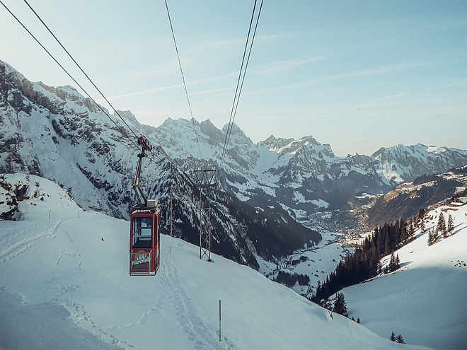
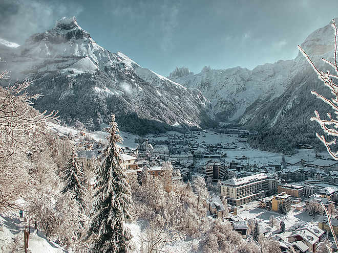
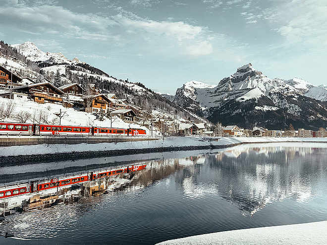
Take a bike tour without breaking a sweat? E-bikes make this possible and promise pure driving pleasure. Explore the beautiful mountains around the monastery village on our e-bike routes.
E-Bike Engelberg - Ristis

Responsible for this content
Engelberg-Titlis Tourismus Verified partner
Engelberg-Titlis Tourismus Verified partner
Selected alternatives for you
Go on a bike route without breaking a sweat? We make it possible! Our suggestion: rent an electric bike and explore the landscape in a relaxed way. The bikes with electric motor assistance are easy to ride and promise great riding fun.
moderate
Distance 8.9 km
1:17 h
599 m
1 m
1,598 m
1,000 m
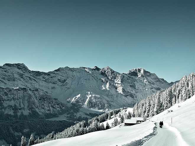
Enjoy the sunny side of Engelberg. The mountain road leads from the starting point in Engelberg over the Bergli to Ristis. The return is via Schwand back towards Engelberg.
Author’s recommendation
Stop at the Berglogde Restaurant Ristis or on the way back at the Restaurant Schwand.
Author
Engelberg - Titlis Tourismus
Responsible for this content
Engelberg-Titlis Tourismus Verified partner
Engelberg-Titlis Tourismus Verified partner
Difficulty
moderate
Overall difficulty
moderate
Derived from the technical difficulty and the stamina requirements.
Experience
Landscape
Highest point
1,598 m
Lowest point
1,000 m
Best time of year
Jan
Feb
Mar
Apr
May
Jun
Jul
Aug
Sep
Oct
Nov
Dec
Track types
Asphalt
6.5 km
Road
2.5 km
Tips and suggestions
Roadbook
Engelberg train station - Schwandstrasse - Fellenrütistrasse - Berglistrasse - Heg - Steghalten - Ristis - Steghalten - Spisboden - Schwand - Schwandstrasse - Engelberg train station
Rest stop
Nearby
Top Partner
Waypoint
Start point
End point
Low point
High point
Forecast
Today {low} to {high} and {precipitation} of {precipitation_type}
show {x} more
Photo
Video
Engelberg-Titlis Tourismus AGPublic transport
National and international connections (from Zurich Airport connections every half hour with about 1h travel time) to Lucerne. Then with the Zentralbahn in 43 minutes through a varied landscape and gorges up to Engelberg.Directions
By car, drive on the A2 (Basel-Gotthard) to Stans Süd, then on the main road 20 km to Engelberg. Engelberg is 30 minutes from Lucerne, 1 hour and 15 minutes from Basel, Zurich, or Bern.Parking
Parking spaces are available in Engelberg for a fee.Coordinates
SwissGrid
2'673'584E 1'185'827N
DD
46.819527, 8.402901
DMS
46°49'10.3"N 8°24'10.4"E
UTM
32T 454452 5185282
w3w
///blown.bead.spurring
Get there by train, car, bike, or on foot!
Equipment
The bikeshops in Engelberg offer an extensive range of bikes and accessories for rent and purchase. It is also worth stopping by for repairs and spare parts.
Localization
Parts of this content were machine translated using German as the source language
Difficulty
moderate
Overall difficulty
moderate
Derived from the technical difficulty and the stamina requirements.
Distance
8.9 km
Duration
1:17 h
Ascent
599 m
Descent
1 m
Highest point
1,598 m
Lowest point
1,000 m
Weather at the starting point
Statistics
Maps and trails
Nothing selected - click and drag in the elevation profile to zoom
Distance
Duration
Ascent
Descent


