Hiking trails
Hiking with far-reaching view, breathing in fresh alpine air, giving your circulation new wellbeing, breathing in the scents of flowers, giving your senses new experiences: Over 500km of hiking trails invite to be discovered.
4-Lakes route

Engelberg-Titlis Tourismus Verified partner
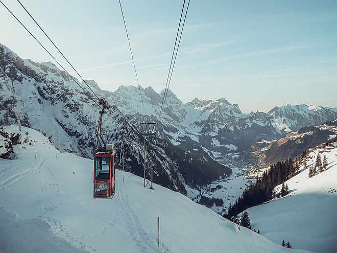
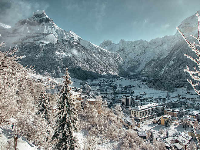
The 4-Lakes route is one of the most beautiful routes around Engelberg. The impressive mountain world around the mighty Titlis, the mountain flora, the mirror-smooth Trübsee, the deep blue Engstlensee, the turquoise Tannensee, the picturesque Melchsee and the view of the distant Bernese Alps are just some of the highlights of this route.
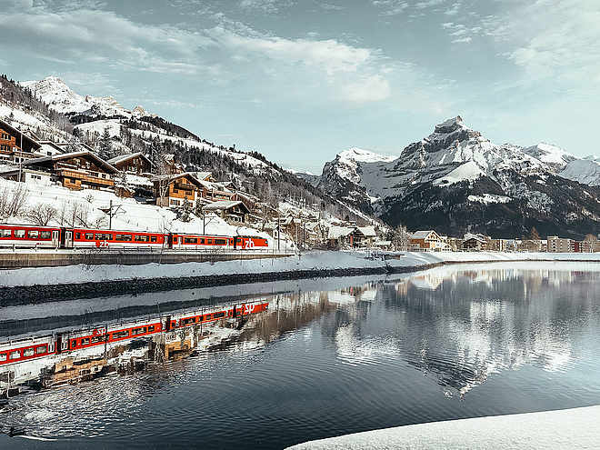
The starting point is the Engelberg train station - just a few minutes on foot from the Titlis valley station. From there, the path leads either on foot via the Untertrübsee alpine cheese dairy to Trübsee or with the Titlis Xpress directly to the middle station.
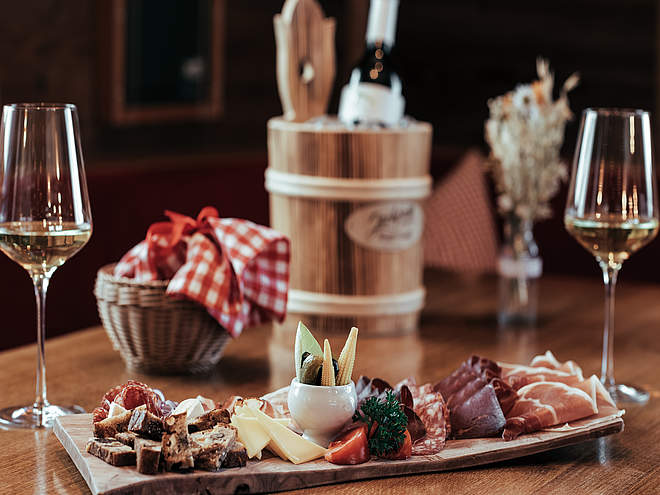
From Trübsee, the route continues to Jochpass – by chairlift or sporty on foot. At the top, the Bärghuis Jochpass awaits with regional cuisine and a fantastic view of the Bernese Alps.
The descent leads downhill to the deep blue Engstlensee and then further up a path that becomes steeper to the Tannalp. The rocky surroundings give way to a gentle moorland. Along Tannensee and Melchsee, the route runs over the high plateau to Melchsee-Frutt. The return to the valley is either by gondola to Stöckalp or classically on foot via the hiking trail. From Stöckalp, the post bus goes to Sarnen and then on the Zentralbahn back.
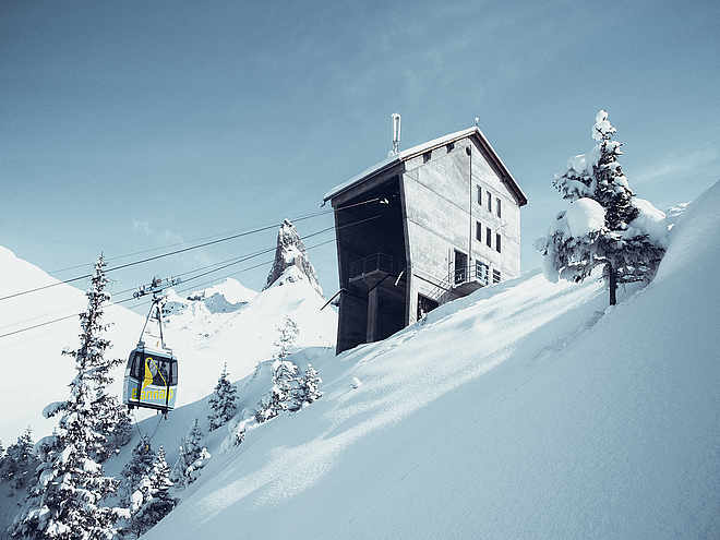
The following mountain railways/public transport can be included: • Titlis Xpress Engelberg – Trübsee • Chairlift Trübsee – Jochpass • Chairlift Jochpass – Engstlenalp • Fruttli train Tannalp – Melchsee-Frutt • Gondola Melchsee-Frutt – Stöckalp • Post bus Stöckalp – Stans • Zentralbahn Stans – Engelberg
In the shoulder season, snowfalls above 2000 meters must be expected
Author’s recommendation
Also ideal as a 2-day route with overnight stay in a mountain guesthouse along the way
Engelberg-Titlis Tourismus Verified partner
Derived from the technical difficulty and the stamina requirements.
Track types
Rest stops
Bärghuis Jochpassfrutt Lago
Gasthof Waldhaus Stöckalp
Safety information
In the shoulder season, snowfalls above 2000 meters must be expected
Tips and suggestions
Tip: purchase a round-trip ticket that includes all the cableways and trains! www.zentralbahn.chPublic transport
National and international connections (from Zurich Airport there are connections every half hour with about 1 hour travel time) to Lucerne. Then with the Zentralbahn in 43 minutes through a varied landscape and gorges up to Engelberg.Directions
By car, take the A2 (Basel-Gotthard) to Stans South, then 20 km on the main road to Engelberg. Engelberg is 30 minutes from Lucerne, 1 hour and 15 minutes from Basel, Zurich, or Bern.Parking
Parking is available in Engelberg for a fee.Coordinates
Localization
Derived from the technical difficulty and the stamina requirements.


