Hiking trails
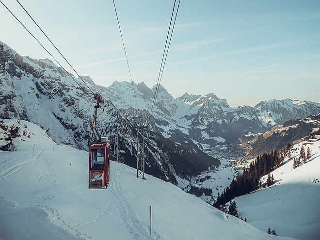
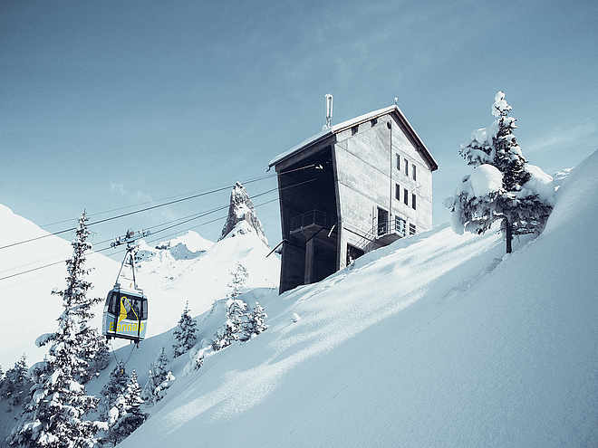
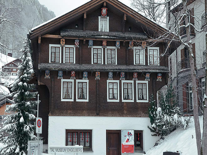
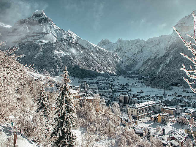
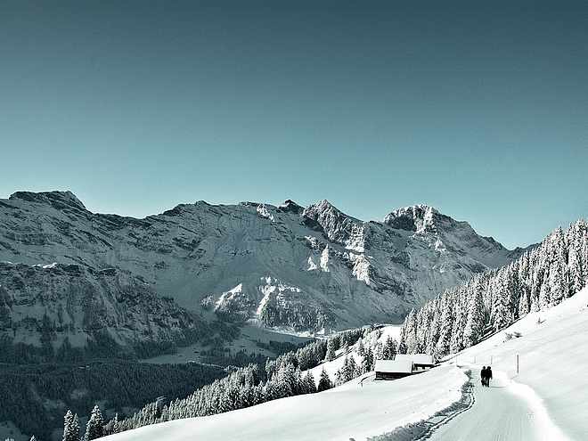
Hiking with far-reaching view, breathing in fresh alpine air, giving your circulation new wellbeing, breathing in the scents of flowers, giving your senses new experiences: Over 500km of hiking trails invite to be discovered.
Alpine Cheese Trail

Engelberg-Titlis Tourismus Verified partner
The Alpine Cheese Trail connects seven alpine cheese dairies over approximately 47 km around Engelberg. The most beautiful mountain scenery and culinary delights accompany each other on the varied hiking trails.
On the original route (short individual excursions are also possible), you start at the monastery demonstration cheese dairy and walk on the gently ascending hiking trail to Untertrübsee. From the first stop at the Alp Untertrübsee with a panoramic view of the mountains, you cross over to the alpine cheese dairy Gerschnialp. Then follows the descent through the forest to Engelberg. Along the Engelberger Aa, the trail continues on easy paths to the alpine cheese dairy Stäfeli. In the middle of the impressive mountain scenery, there is a detour towards Surenenpass up to Blackenalp. Then it continues with a slight ascent to the alpine cheese dairy Surenen. Over the highest point of the hike, the Fürenalp, it goes downhill to Horbis, before the stony path over the Schletteren brings you to the sunny side of the valley. There await the two alps Hüetismatt and Langenboden. Then you walk back via Bränd, Spisboden, Heg and Bergli to Engelberg.
Please note that depending on the weather conditions (snow cover) in June not all alpine cheese dairies may be staffed and that from mid-October the alps are no longer looked after.
Author’s recommendation
Bring enough cash and newspaper and leave space in your backpack for the cheese, which can be purchased directly at all the alp dairies.
In the only Swiss monastery demonstration cheese dairy, you can experience live how cheese is made by hand and regional milk is processed into cheese specialties (from 10:00 a.m. to 3:00 p.m.).
Engelberg-Titlis Tourismus Verified partner
Track types
Safety information
Multi-day hike (about 14.5 hours walking time) on marked hiking paths. Stamina and surefootedness required. Difficulty: T3.
Tips and suggestions
Engelberg-Titlis Tourism, Tel. +41 (0) 41 639 77 77, www.engelberg.ch
Demonstration Cheese Dairy Monastery Engelberg, Tel. +41 (0) 41 638 08 88, www.schaukaeserei-engelberg.ch
Public transport
Public-transport-friendly
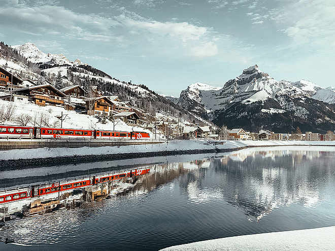
National and international connections (from Zurich Airport connections every half hour with about 1 hour travel time) to Lucerne. Then with the Zentralbahn in 43 minutes through a varied landscape up to Engelberg.Directions
By car, take the A2 (Basel-Gotthard) to Stans South, then the main road 20 km to Engelberg. Engelberg is 30 minutes from Lucerne, 1 hour and 15 minutes from Basel, Zurich or Bern.Parking
Parking is available in Engelberg for a fee.Coordinates
Equipment
Normal hiking equipment, sturdy hiking boots, spare clothes, toiletries, lightweight sleeping bag and headlamp for overnight stays, food and drinks for the way.
Localization


