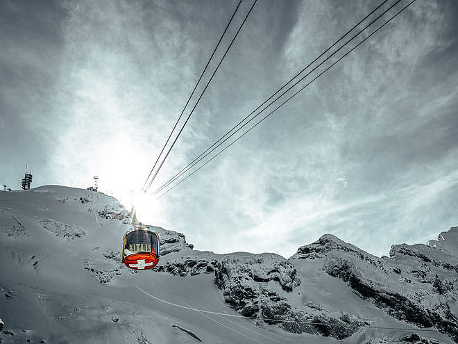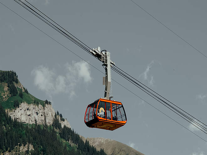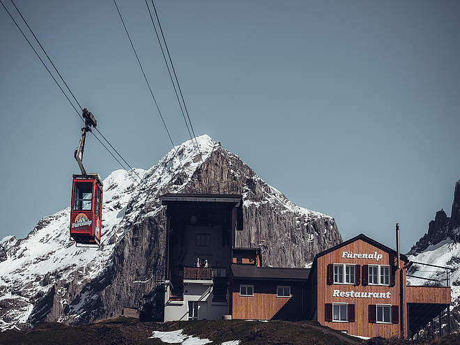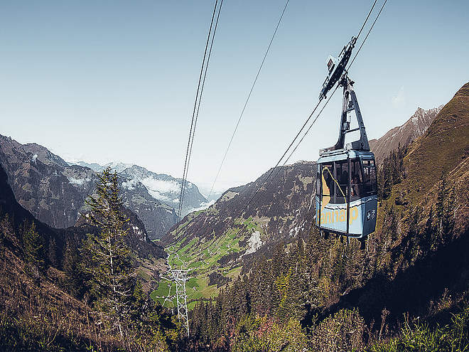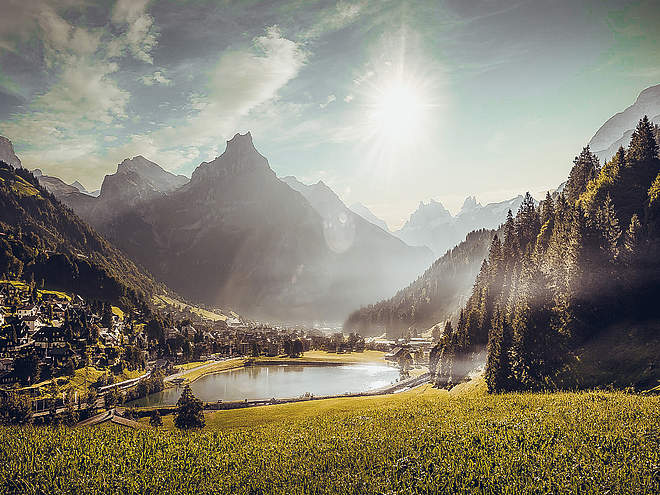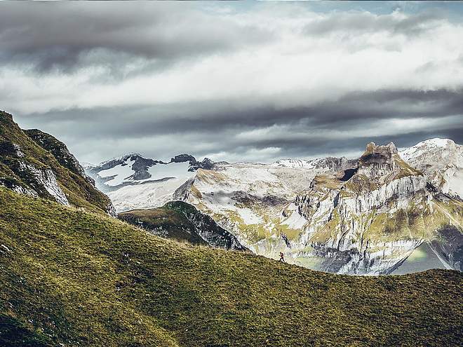
Hiking with far-reaching view, breathing in fresh alpine air, giving your circulation new wellbeing, breathing in the scents of flowers, giving your senses new experiences: Over 500km of hiking trails invite to be discovered.
 recommended route
Theme Trail
· Engelberg
recommended route
Theme Trail
· Engelberg
Alpine cheese trail stage Untertrübsee/Gerschnialp

Responsible for this content
Engelberg-Titlis Tourismus Verified partner
Engelberg-Titlis Tourismus Verified partner
-
 Photo: Engelberg - Titlis Tourismus, Engelberg-Titlis Tourismus
Selected alternatives for you
It hardly gets more family-friendly: The stage Untertrübsee/Gerschnialp is short, easy to walk, varied and equipped with many places to stop for refreshment.
Easy
Distance 8.5 km
2:35 h
412 m
412 m
1,279 m
997 m
From the show dairy in the monastery, go straight ahead towards Bänkli Alp. After the bridge, turn right and follow the Aa stream to the valley station of the Titlis cable cars. The funicular comfortably takes small children’s feet up to Gerschnialp. From the mountain station, the path first leads through the forest and then over the meadow to the Restaurant Untertrübsee (fine Swiss cuisine). After just a few meters on the paved road, the Untertrübsee alpine cheese dairy appears on the left side. From there, take the same path back to the fork at the forest. Instead of walking back to the mountain station, cross the meadow under the Engelberg-Trübsee-Stand gondola station to the Gerschnialp alpine cheese dairy. Then follows a short walk towards the Restaurant Gerschnialp (fine Swiss cuisine). Down to the right over the Gerschniwald back to Engelberg, where you exit the forest clearing at Bänkli Alp.
Please note that depending on weather conditions (snow cover), not all alpine cheese dairies are staffed in June and that from mid-October the alpine pastures are no longer staffed.

Author
Engelberg - Titlis Tourismus

Responsible for this content
Engelberg-Titlis Tourismus Verified partner
Engelberg-Titlis Tourismus Verified partner
Difficulty
Easy
Overall difficulty
Easy
Derived from the technical difficulty and the stamina requirements.
Experience
Landscape
Highest point
1,279 m
Lowest point
997 m
Best time of year
Jan
Feb
Mar
Apr
May
Jun
Jul
Aug
Sep
Oct
Nov
Dec
Track types
Asphalt
3.3 km
Dirt road
1.7 km
Path
2.3 km
Lift/cableway
582 m
Unknown
501 m
Tips and suggestions
www.engelberg.chRoadbook
Show dairy Kloster Engelberg-Valley station Titlis-Gerschni-Untertrübsee-Alpine cheese dairy Untertrübsee-Alpine cheese dairy Gerschnialp-Ritz-Bänkli Alp-Show dairy Kloster Engelberg
Rest stop
Nearby
Top Partner
Waypoint
Start point
End point
Low point
High point
Forecast
Today {low} to {high} and {precipitation} of {precipitation_type}
show {x} more
Photo
Video
Alpkäserei UntertrübseeALPKÄSEREI GERSCHNIALP
Public transport
National and international connections (from Zurich Airport, connections every half hour with approx. 1 hour travel time) to Lucerne. Then with the Zentralbahn in 43 minutes through a varied landscape and gorges up to Engelberg.Directions
By car, take the A2 (Basel-Gotthard) to Stans Süd, then 20 km on the main road to Engelberg. Engelberg is 30 minutes from Lucerne, 1 hour and 15 minutes from Basel, Zurich or Bern.Parking
Parking spaces are available in Engelberg for a fee.
Coordinates
SwissGrid
2'674'013E 1'185'848N
DD
46.819675, 8.408532
DMS
46°49'10.8"N 8°24'30.7"E
UTM
32T 454882 5185295
w3w
///degree.race.contracting
Get there by train, car, bike, or on foot!
Equipment
Sturdy footwear and rain jacketLocalization
Parts of this content were machine translated from German.
Difficulty
Easy
Overall difficulty
Easy
Derived from the technical difficulty and the stamina requirements.
Distance
8.5 km
Duration
2:35 h
Ascent
412 m
Descent
412 m
Highest point
1,279 m
Lowest point
997 m
Weather at the starting point
Statistics
Maps and trails
Nothing selected - click and drag in the elevation profile to zoom
Distance
Duration
Ascent
Descent