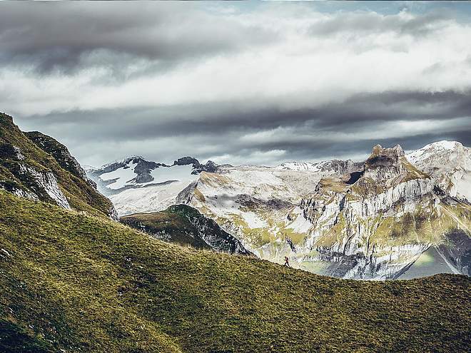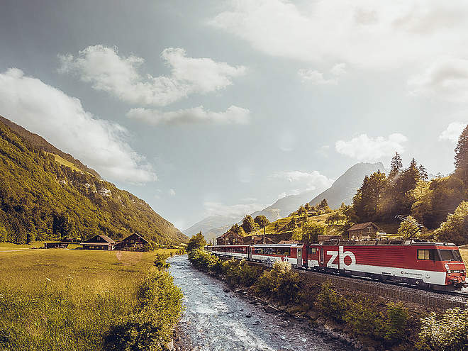
Hiking with far-reaching view, breathing in fresh alpine air, giving your circulation new wellbeing, breathing in the scents of flowers, giving your senses new experiences: Over 500km of hiking trails invite to be discovered.
 recommended route
Hiking Trail
recommended route
Hiking Trail
From Sinsgäu to Bannalp

Engelberg-Titlis Tourismus Verified partner
-
 Photo: Engelberg - Titlis Tourismus, Engelberg-Titlis Tourismus
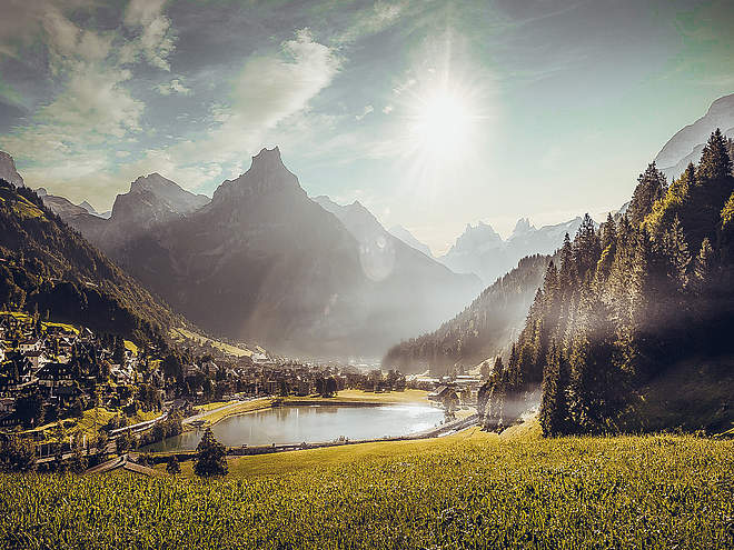
A scenic short hike from the Sinsgäu mountain station via the Haghütte to the Chrüzhütte and on to the Bannalp area. The tour combines small cable cars, alpine restaurants, and Lake Bannalp into a unique mountain experience above Oberrickenbach.
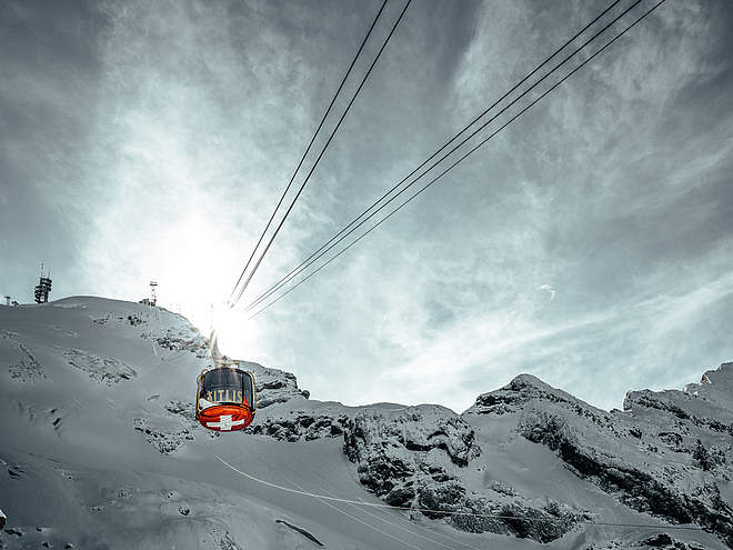
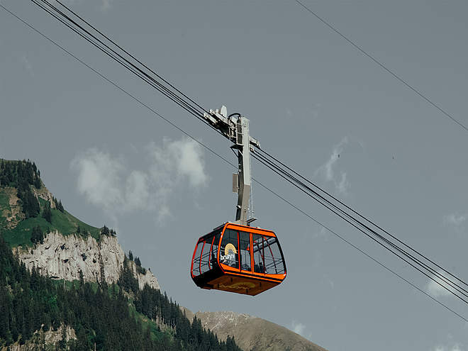
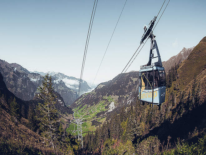
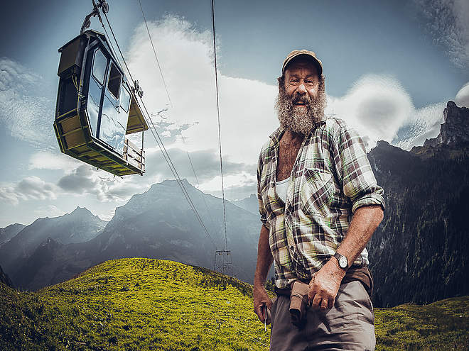
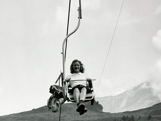
This hike begins with a little adventure: From Oberrickenbach, the Fell–Spis and Spis–Sinsgäu cable cars take you up into the Sinsgäu alpine region. The ride on the little “Schiffli” cable cars is an experience in itself and transports hikers directly into a quiet, scenic mountain world.
From the Sinsgäu mountain station, the trail first leads to the Haghütte alp. This small alpine inn is idyllically situated above the Engelberg Valley and is the perfect spot for a first break with coffee, a sweet treat, or a light snack. From there, the trail continues through the Bründli Forest toward the Chrüzhütte and Bannalp.
Once at the top, the view opens up to the Bannalp area, featuring a chapel, alpine meadows, and Lake Bannalp. For the return trip down to the valley, depending on the route and operating hours, you can take the Fellboden–Bannalp or Fell–Chrüzhütte cable cars.
Author’s recommendation
Be sure to set aside time for a coffee or a short break at the Alp Haghütte or Café Bannalp.
The hike can be done in either direction, and if you’d like to extend the hike, you can walk from Oberrickenbach to the Sinsgäu mountain station (about 1 hour 45 minutes and 613 meters of elevation gain).


Engelberg-Titlis Tourismus Verified partner
Derived from the technical difficulty and the stamina requirements.
Track types
Rest stops
HaghütteAlpwirtschaft Kreuzhütte
Berggasthaus Bannalpsee
Safety information
The route follows mountain hiking trails. Before setting out, you should check the operating hours of the cable cars and the opening hours of the alpine restaurants.
Roadbook
The hike begins at the Sinsgäu mountain station. From there, follow the marked trail to the Haghütte alpine hut. After a break, the trail continues through alpine meadows and the Bründli Forest, ascending toward the Chrüzhütte.
From the Chrüzhütte, the hike can be extended all the way to Bannalpsee. To return down to Oberrickenbach, take either the Fellboden–Bannalp cable car or the Fell–Chrüzhütte cable car.
Alpwirtschaft Kreuzhütte
Bannalp/Chrüzhütte/Seilbahn
Bannalp
Bannalp Dwarves Trail barbecue spot, Wolfenschiessen
Bannalpsee
Berggasthaus Bannalpsee
Bergbahnstation Bannalpsee
Coordinates
Equipment
We recommend wearing sturdy shoes, being sure-footed, and dressing for the weather.
Localization
Derived from the technical difficulty and the stamina requirements.