Hiking trails
Hiking with far-reaching view, breathing in fresh alpine air, giving your circulation new wellbeing, breathing in the scents of flowers, giving your senses new experiences: Over 500km of hiking trails invite to be discovered.
Fürenalp-Dagenstall-Wasserfall

Responsible for this content
Engelberg-Titlis Tourismus Verified partner
Engelberg-Titlis Tourismus Verified partner
Selected alternatives for you
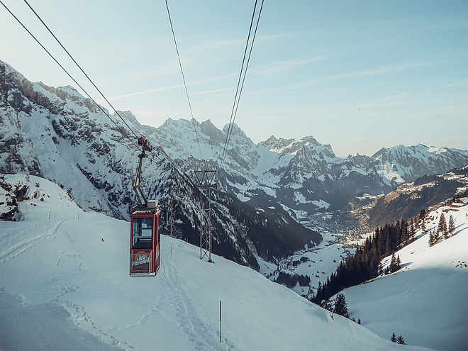
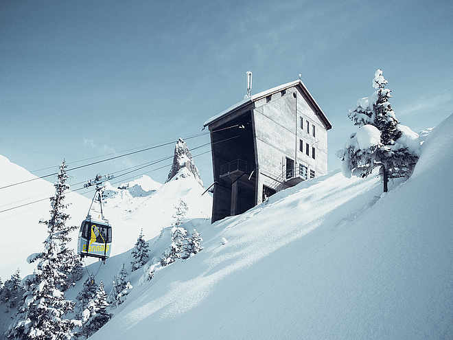
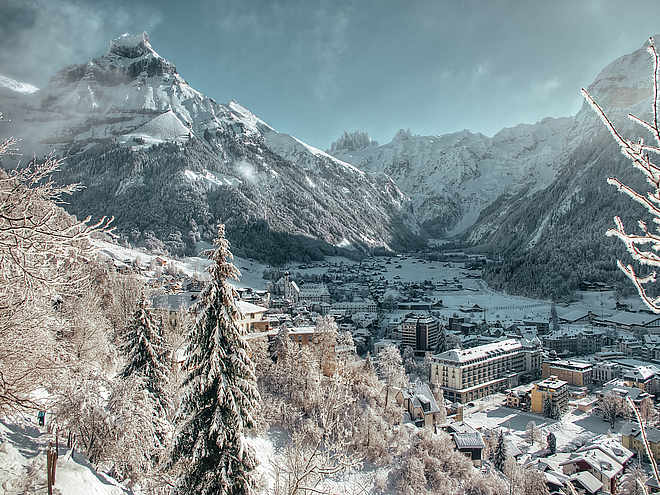
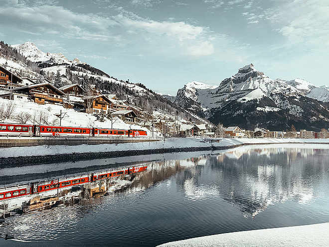
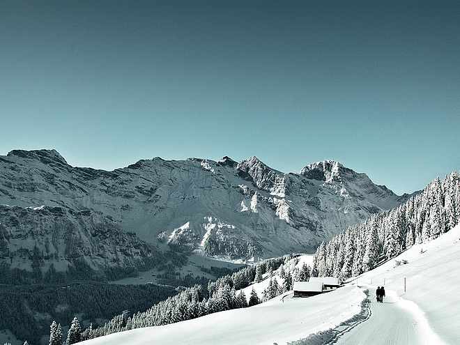
Passing alpine meadows and a shale quarry, this hike takes the most direct route from the mountain station to the Fürenalp valley station or vice versa. Along the way, you have a fantastic view of the monastery village Engelberg. Various power spots invite you to recharge your energy.
moderate
Distance 4.1 km
1:30 h
27 m
800 m
1,842 m
1,068 m
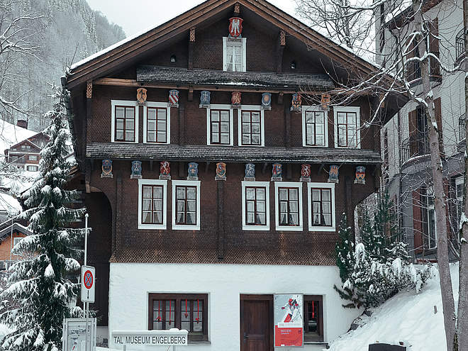
The hike leads over meadows with unique alpine flowers and past numerous alpine buildings. The Engelberg monastery extracted bricks for their buildings from the shale quarry. Can you see the extraction marks? The nearby hydroelectric power plant produces electricity for the Engelberg monastery. In the past, the monks operated the plant themselves and cleaned the small lake together every summer. Stop at the start/finish of the hike at Engelberg's highest waterfall. With a drop of 60 m, the Tätschbachfall, better known as the "Waterfall," is an impressive natural spectacle and a wonderful place to recharge. Can you hear the different tones of its roaring? At the foot of the fall is the Restaurant Wasserfall.
Author’s recommendation
Power spots Quellenweg Engelberg - Dagenstal - Fürenalp
Dr. Andrea Fischbacher has identified and documented the 17 power spots along the Engelberg - Dagenstal - Fürenalp hike. Recharge your energy.
Author
Engelberg - Titlis Tourismus
Responsible for this content
Engelberg-Titlis Tourismus Verified partner
Engelberg-Titlis Tourismus Verified partner
Difficulty
T2
moderate
Overall difficulty
moderate
Derived from the technical difficulty and the stamina requirements.
Highest point
1,842 m
Lowest point
1,068 m
Track types
Asphalt
9 m
Path
4.1 km
Rest stops
Bergrestaurant FürenalpTips and suggestions
Rest stop
Nearby
Top Partner
Waypoint
Start point
End point
Low point
High point
Forecast
Today {low} to {high} and {precipitation} of {precipitation_type}
show {x} more
Photo
Video
FürenalpFürenalp
Bergstation Fürenalpbahn
Bergrestaurant Fürenalp
Bergstation Fürenalpbahn
Paragliding launch site Fürenalp
Engelberg, Wasserfall
Public transport
National and international connections (from Zurich Airport, connections every half hour with about 1 hour travel time) to Lucerne. Then with the Zentralbahn in 43 minutes through varied landscapes and gorges up to Engelberg.Directions
By car, take the A2 (Basel-Gotthard) to Stans Süd, then on the main road 20 km to Engelberg. Engelberg is 30 minutes from Lucerne, 1 hour and 15 minutes from Basel, Zurich, or Bern.Parking
Parking is available in Engelberg for a fee.Coordinates
SwissGrid
2'678'608E 1'183'854N
DD
46.801213, 8.468400
DMS
46°48'04.4"N 8°28'06.2"E
UTM
32T 459435 5183211
w3w
///influence.eternally.descended
Get there by train, car, bike, or on foot!
Localization
Parts of this content were machine translated using German as the source language
Difficulty
T2
moderate
Overall difficulty
moderate
Derived from the technical difficulty and the stamina requirements.
Distance
4.1 km
Duration
1:30 h
Ascent
27 m
Descent
800 m
Highest point
1,842 m
Lowest point
1,068 m
Weather at the starting point
Statistics
Maps and trails
Nothing selected - click and drag in the elevation profile to zoom
Distance
Duration
Ascent
Descent


