Hiking trails

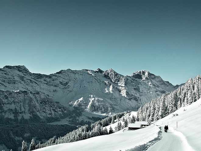
Hiking with far-reaching view, breathing in fresh alpine air, giving your circulation new wellbeing, breathing in the scents of flowers, giving your senses new experiences: Over 500km of hiking trails invite to be discovered.

Theme Trailrecommended route

Globi's Treasure Hunt

Theme Trail · Engelberg
LogoEngelberg-Titlis Tourismus
Responsible for this content
Engelberg-Titlis Tourismus Verified partner 
  • Photo: Engelberg - Titlis Tourismus, Engelberg-Titlis Tourismus

Selected alternatives for you
    Help Globi get back the lost pictures from the Globibook "Globi's Journey to the Heart of Switzerland"! 
    easy
    Distance 4 km
    2:00 h
    269 m
    10 m
    1,866 m
    1,597 m
    Equipped with a treasure map and a questionnaire, you set off to find the 10 hidden treasure chests. The map and task sheet are available in the shop of the Berglodge Restaurant Ristis and at the Kräuterhütte. Price: CHF 5.00 per treasure hunt group (1 gift per CHF 5.00)

    Author’s recommendation

    Globi's treasure hunt can be done in both directions. The route and the locations of the treasures change every year.

    Profile picture of Engelberg - Titlis Tourismus
    Author
    Engelberg - Titlis Tourismus 
    LogoEngelberg-Titlis Tourismus
    Responsible for this content
    Engelberg-Titlis Tourismus  Verified partner 
    Difficulty
    easy
    Overall difficulty
    easy

    Derived from the technical difficulty and the stamina requirements.

    Experience
    Landscape
    Highest point
    1,866 m
    Lowest point
    1,597 m
    Best time of year
    Jan
    Feb
    Mar
    Apr
    May
    Jun
    Jul
    Aug
    Sep
    Oct
    Nov
    Dec

    Track types

    Show elevation profile

    Safety information

    The mainroute is suitable for strollers.

    Tips and suggestions

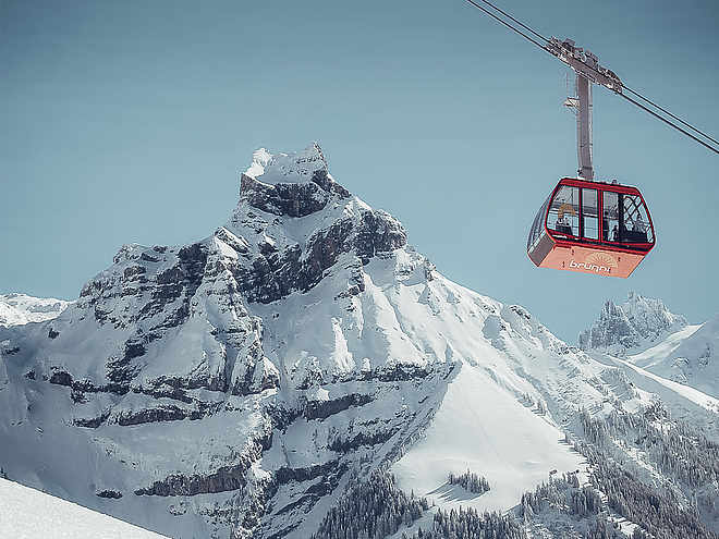
    Brunni-Bahnen 

    Public transport

    Public-transport-friendly

    From Lucerne, the Zentralbahn train goes directly to Engelberg. The journey takes 45 minutes and passes through beautiful landscapes. Departures are hourly. In Engelberg, a free bus runs in summer and winter, taking you in 5 minutes directly to the Brunni valley station.

    Directions

    By car, drive on the A2 (Basel-Lucerne-Gotthard) to Stans-Süd. From there, follow the main road for 20 km to Engelberg. Engelberg is about 30 minutes from Lucerne.

    From Zurich, allow 1 hour 15 minutes travel time; from Bern and Basel, about 1 hour 45 minutes travel time.

    Parking

    At Brunni-Bahnen Engelberg AG, a large parking lot is available. Parking costs CHF 5.00 per day.

    Coordinates

    SwissGrid
    2'673'948E 1'187'300N
    DD
    46.832737, 8.407913
    DMS
    46°49'57.9"N 8°24'28.5"E
    UTM
    32T 454845 5186747
    w3w 
    ///best.crunch.booms
    Get there by train, car, bike, or on foot!

    Localization

    Parts of this content were machine translated using German as the source language

    Similar routes nearby

    • Brunnipfad
    • Barefoot Hiking Trail Brunni
    • Kitzelpfad
    • Alpine Cheese Trail
    • Alpine Cheese Trail Stage Blackenalp
     These suggestions were generated by our system
    Difficulty
    easy
    Overall difficulty
    easy

    Derived from the technical difficulty and the stamina requirements.

    Distance
    4 km
    Duration
    2:00 h
    Ascent
    269 m
    Descent
    10 m
    Highest point
    1,866 m
    Lowest point
    1,597 m
    Public-transport-friendly Family-friendly Cableway ascent/descent Insider tip Suitable for strollers

    Weather at the starting point

    10-day forecast

    Statistics

    • Content
    • Show images Hide images
    Features
    Maps and trails
    Nothing selected - click and drag in the elevation profile to zoom
    Distance
    Duration
    Ascent
    Descent
    Elevation profile