Hiking trails
Hiking with far-reaching view, breathing in fresh alpine air, giving your circulation new wellbeing, breathing in the scents of flowers, giving your senses new experiences: Over 500km of hiking trails invite to be discovered.
Hohfadweg

Responsible for this content
Engelberg-Titlis Tourismus Verified partner
Engelberg-Titlis Tourismus Verified partner
Selected alternatives for you
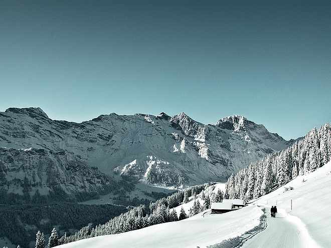
The Hohfad hike awaits with lots of untouched nature and even more views. After the steep ascent, a bath in the Hundsbach and a souvenir photo high above Engelberg are recommended. Past the Alp Bödmen, the easier descent leads back into the valley.
Distance 13.1 km
3:57 h
449 m
449 m
1,448 m
999 m
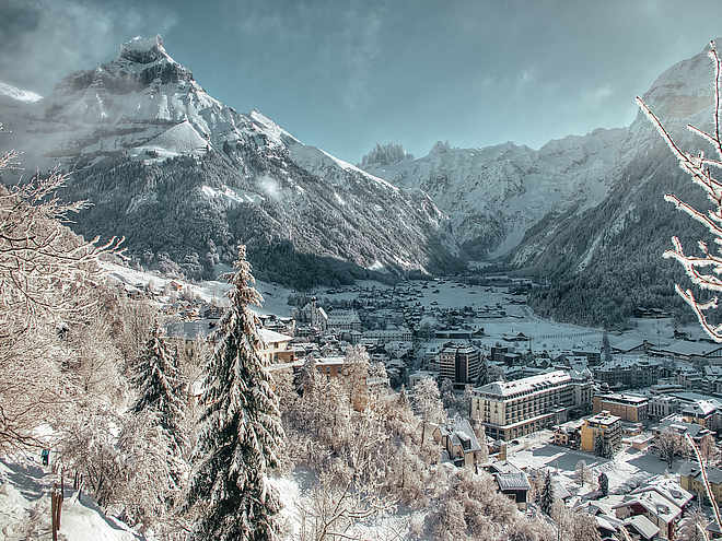
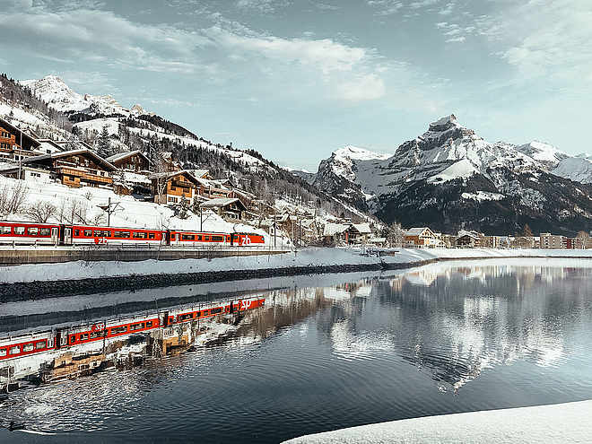
The starting point of the Hohfad hike is Engelberg railway station. Through the houses you go to the Sportingpark and further through an avenue to the Bänklialp bridge. Here the Engelberger Aa river is crossed. Along the left riverbank you follow the Professorenweg for about half an hour until the gravel road narrows and starts to ascend. Below the path, you can watch the golfers putting before the path turns right into the forest. From here it gets really steep. Occasionally steps help you master the steepest parts. Thanks to the shade of the trees, you don't start sweating after the first few steps. But it can be said in advance, the ascent is definitely worth it. Suddenly the forest clears and you stand on a high plateau. The breathtaking view of the village and the surrounding mountains makes you forget the exertion of the last 45 minutes. This place, with the Titlis north face behind you, is recommended for a picnic. Already here you can hear the next highlight of the route rushing. In the stream of the Hundsbach, small basins form, inviting you to bathe with their crystal clear water. But be cautious, the stream is fed by a glacier. The route continues to Alp Bödmen where, if you're lucky, you might encounter llamas. Here begins the descent towards Herrenrüti from where the hiking trail leads to the Fürenalp valley station. From here you have the option to take the free summer bus back to the starting point at Engelberg railway station or to hike back to the village via the golf course and the Professorenweg.
Author’s recommendation
Tip: Make a stop at the Eienwäldli restaurant to refresh yourself for the ascent, as there are no more places to eat on the route beyond that point. If you forgot your picnic, you can stock up on lots of good things at the camping store "Hanny's Lädäli".
Author
Engelberg - Titlis Tourismus
Responsible for this content
Engelberg-Titlis Tourismus Verified partner
Engelberg-Titlis Tourismus Verified partner
Highest point
1,448 m
Lowest point
999 m
Best time of year
Jan
Feb
Mar
Apr
May
Jun
Jul
Aug
Sep
Oct
Nov
Dec
Track types
Show elevation profileRest stops
Hotel Restaurant BänklialpRoadbook
Station-Eienwäldli-Hohfad-Bödmen-Herrenrüti-Schlenggen-Einenwäldli-Station
Rest stop
Nearby
Top Partner
Waypoint
Start point
End point
Low point
High point
Forecast
Today {low} to {high} and {precipitation} of {precipitation_type}
show {x} more
Photo
Video
Railway station EngelbergEngelberg
Herrenrütiboden
Schlenggen Hundsbach
Bike Trail Arena
Evangelical Reformed Church Engelberg
Hotel Restaurant Bänklialp
INTERSPORT Titlis - your ski rental in Engelberg
Prime Mountain Sports Engelberg
BIKElocal Engelberg
Bikeschule Engelberg
Titlis Sport
Spa Park
Public transport
National and international connections (from Zurich Airport connections every half hour with about 1 hour travel time) to Lucerne. Then with the Zentralbahn in 43 minutes through a varied landscape and gorges up to Engelberg.Directions
By car, take the A2 (Basel-Gotthard) to Stans Süd, then 20 km on the main road to Engelberg. Engelberg is 30 minutes from Lucerne, 1 hour and 15 minutes from Basel, Zurich or Bern.Parking
Parking is available in Engelberg for a fee.Coordinates
SwissGrid
2'673'579E 1'185'839N
DD
46.819641, 8.402844
DMS
46°49'10.7"N 8°24'10.2"E
UTM
32T 454448 5185294
w3w
///shelter.musical.buzzards
Get there by train, car, bike, or on foot!
Localization
Parts of this content were machine translated using German as the source language
Distance
13.1 km
Duration
3:57 h
Ascent
449 m
Descent
449 m
Highest point
1,448 m
Lowest point
999 m
Weather at the starting point
Statistics
Maps and trails
Nothing selected - click and drag in the elevation profile to zoom
Distance
Duration
Ascent
Descent


