Hiking trails
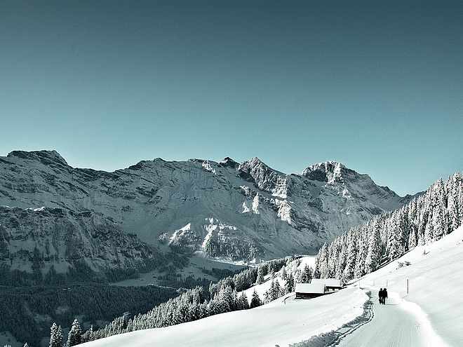
Hiking with far-reaching view, breathing in fresh alpine air, giving your circulation new wellbeing, breathing in the scents of flowers, giving your senses new experiences: Over 500km of hiking trails invite to be discovered.
Murmeli hike

Engelberg-Titlis Tourismus Verified partner
A scenic route where you can hear and admire the whistling marmots. This is exactly what the Murmeli hike promises to every nature enthusiast!
The Murmeli hike in the Uri Alps leads from the beautiful Trübsee to the Tannalp and the Engstlenalp and Engstlensee. As the name already suggests, you might spot one or the other marmot here if you're lucky.
With consistently stunning views of the numerous peaks of the Bernese and Uri Alps, you cross the cantonal border between Bern and Obwalden twice before the loop finally ends back at Trübsee.
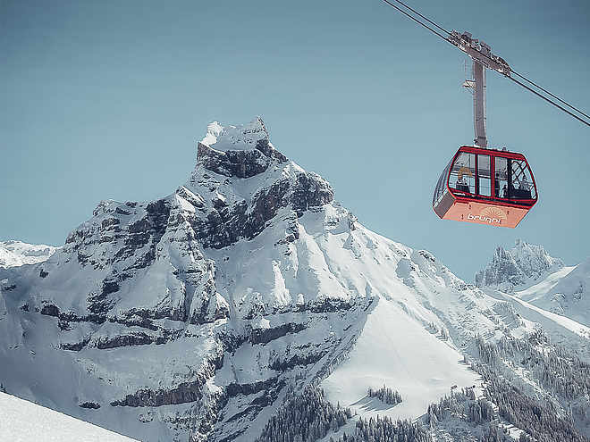
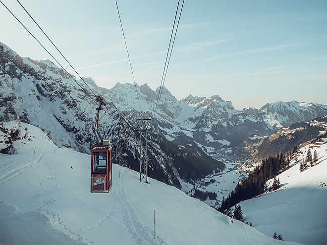
Starting from Engelberg, first take the cable car up to Trübsee. From here, you hike along the south shore until you reach the valley station of the Jochpass chairlift.
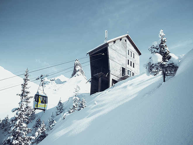
After another cable car ride, you arrive at the mountain station Jochpass, which lies exactly on the cantonal border of Bern and Obwalden. On foot, you now head westwards towards Schaftal.
After a short section uphill, where you might spot some marmots and even ibex if you're lucky, the route goes downhill and you cross the cantonal border once again.
You reach the beautiful Tannalp where a rest in the mountain inn Tannalp is recommended. Once sufficiently refreshed, follow another ascent up to the Engstlenalp and shortly thereafter to the deep blue Engstlensee. Before finally returning to the mountain station Jochpass.
Author’s recommendation
To make wildlife observation easier, it is recommended to carry binoculars with you.
Engelberg-Titlis Tourismus Verified partner
Derived from the technical difficulty and the stamina requirements.
Track types
Rest stops
Bärghuis JochpassHotel Engstlenalp - Meiringen
Tips and suggestions
Engelberg Titlis Mountain Railways Timetable
Gastronomy
Public transport
National and international connections (from Zurich Airport, connections every half hour with about 1h travel time) to Lucerne. Then with the Zentralbahn in 43 minutes through varied landscapes and gorges up to Engelberg.
Directions
By car, take the A2 (Basel-Gotthard) to Stans Süd, then the main road for 20 km to Engelberg. Engelberg is 30 minutes from Lucerne, 1 hour and 15 minutes from Basel, Zurich, or Bern.
Parking
Paid parking is available in Engelberg: Parking options
Coordinates
Author’s map recommendations
Ask Katja for the link!!!
Equipment
Hiking shoes, sunscreen, a small snack, as well as hiking poles are advantageous.
Localization
Derived from the technical difficulty and the stamina requirements.


