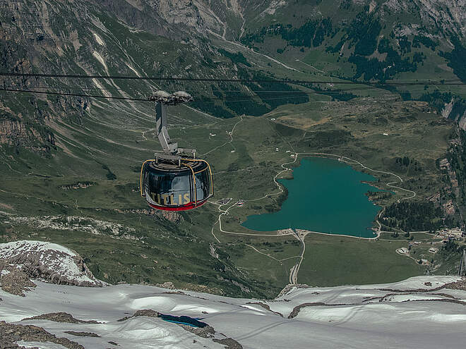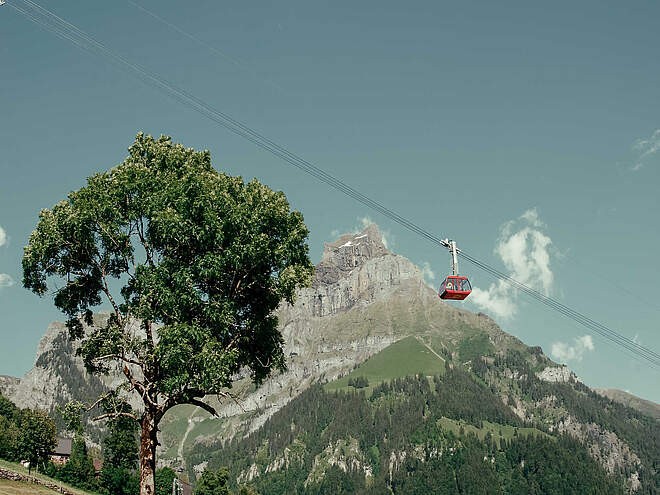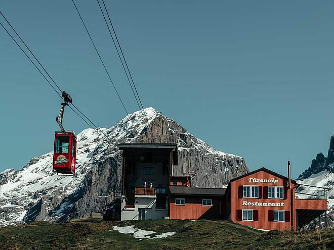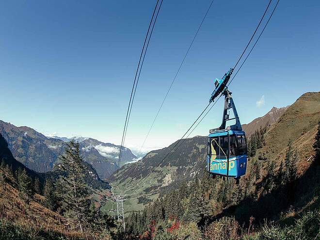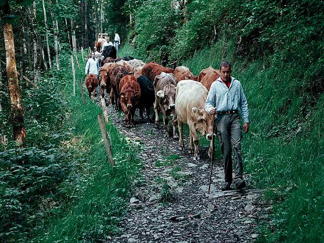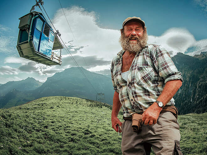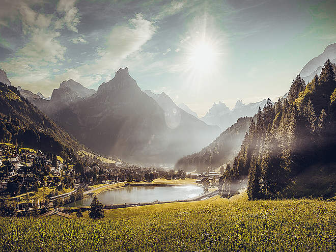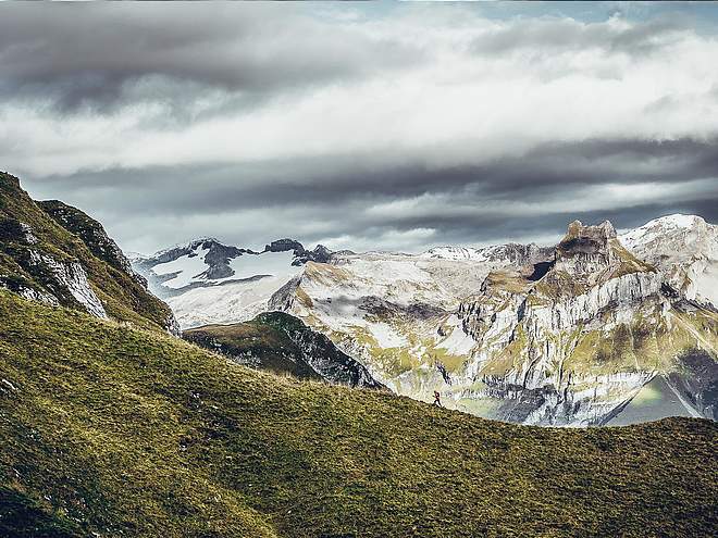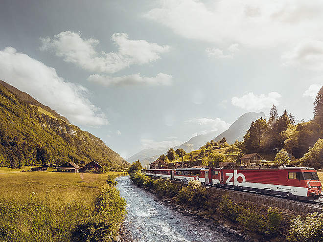
Hiking with far-reaching view, breathing in fresh alpine air, giving your circulation new wellbeing, breathing in the scents of flowers, giving your senses new experiences: Over 500km of hiking trails invite to be discovered.
 recommended route
Stage 2
Hiking Trail
· Luzern - Vierwaldstättersee
recommended route
Stage 2
Hiking Trail
· Luzern - Vierwaldstättersee
Nidwaldner Höhenweg: stage 2

Engelberg-Titlis Tourismus Verified partner
-
 TrübseePhoto: Engelberg-Titlis Tourismus
The Nidwaldner Höhenweg offers varied hiking on mountain paths with magnificent views. The many connections to mountain railways allow for dividing the five-day hike.
The Nidwaldner Höhenweg is understood as the circuit around the Engelberg valley at an altitude of 1600 to 2000 meters, with detours to Melchsee-Frutt and Niderbauen. The path begins at the mountain station of the Mettlen-Rugisbalm-Eggen aerial cableway and leads in five daily stages on marked mountain hiking trails around the canton of Nidwalden. At the transition between the Pre-Alps and the Alps, the route offers magnificent views into the valley, to the surrounding mountains, and to the glaciated four-thousanders.
We pass alpine pastures, rugged rocks, and quiet mountain lakes, as well as various mountain passes, and can enjoy the splendid animal and plant life. Mountain inns and mountain restaurants invite you to refresh yourself and spend the night. The destination of the Nidwaldner Höhenweg is the mountain station of the Niderbauen cable car on the flank of the mountain of the same name.
This high-altitude hike in the land of cable cars can also be done in one- or two-day stages, since each stage location is near a train or cable car station.
Stage 2: Passing four beautiful mountain lakes and over the Jochpass, the path leads to the monastery village of Engelberg. Up close, the imposing mountain world with Hochstollen, Glogghuis, and Titlis greets you. The long descent to Engelberg can be shortened by aerial cableway.

Engelberg-Titlis Tourismus Verified partner
Derived from the technical difficulty and the stamina requirements.
Track types
Show elevation profileRoadbook
Old mountain station
Melchsee-Frutt, Dörfli
Melchsee
Milking Lake
Melchsee-Frutt panorama lift
Tannensee
Pine lake
Engstlensee
Engstlensee
Engstlensee
Saumboden
Jochboden
Eugenisee
Lake Eugeni
Station Engelberg
Bahnhof Engelberg.
Engelberg, Bahnhof
Engelberg
Railway station Engelberg
Coordinates
Localization
Derived from the technical difficulty and the stamina requirements.