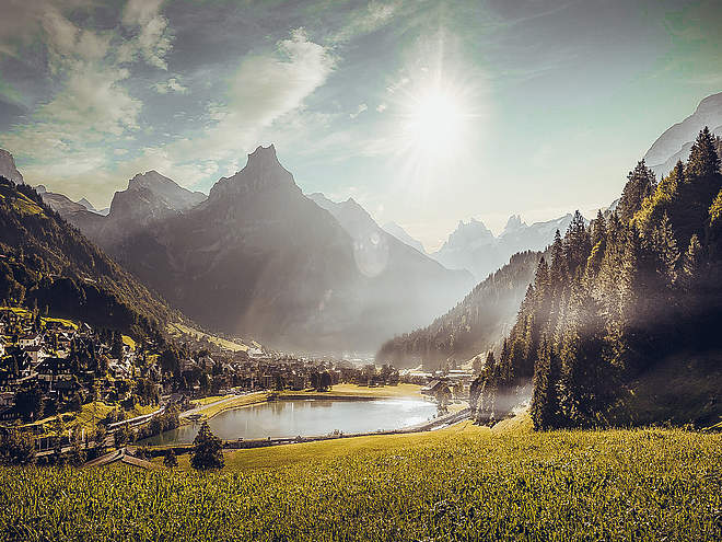
Hiking with far-reaching view, breathing in fresh alpine air, giving your circulation new wellbeing, breathing in the scents of flowers, giving your senses new experiences: Over 500km of hiking trails invite to be discovered.
 recommended route
Stage 3
Hiking Trail
· Luzern - Vierwaldstättersee
recommended route
Stage 3
Hiking Trail
· Luzern - Vierwaldstättersee
Nidwalden High Altitude Route: Stage 3

Engelberg-Titlis Tourismus Verified partner
-
 Brunni KitzelpfadPhoto: Engelberg-Titlis Tourismus
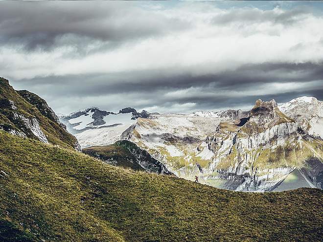
The Nidwalden High Altitude Route is understood as the circuit around the Engelberg valley at an altitude of 1600 to 2000 meters, with detours to Melchsee-Frutt and Niderbauen. The path starts at the mountain station of the Mettlen-Rugisbalm-Eggen cable car and leads in five daily stages on marked mountain hiking trails around the canton of Nidwalden. At the transition between the foothills and the Alps, the route offers magnificent views of the valley, the surrounding mountains, and the glacier-covered four-thousanders.
We pass alpine pastures, rugged rocks, and quiet mountain lakes, as well as various mountain passes, and can enjoy the splendid flora and fauna. Mountain inns and restaurants invite you to refresh and stay overnight. In Engelberg and Niederrickenbach, we can knock on monastery doors and find a friendly welcome. The destination of the Nidwalden High Altitude Route is the mountain station of the Niderbauen cable car on the flank of the mountain of the same name.
The high-altitude hike in the land of cable cars can also be done in one- or two-day stages, as each stage location is near a train or cable car station.
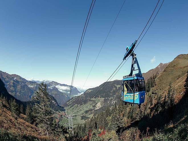
Stage 3: After the ascent to the Brunnihütte at 1860 m, hike on the famous Walen path with the magnificent Walegg viewpoint offering a wonderful view of the Central Alps. Around Bannalpsee, a battle for energy supply raged in the 1930s.
Author’s recommendation

Engelberg-Titlis Tourismus Verified partner
Derived from the technical difficulty and the stamina requirements.
Track types
Show elevation profileRoadbook
Engelberg
Railway station Engelberg
Bahnhof Engelberg.
Ristis
Forest fireplace Ristis
Fireplaces at the Globis Alpine playground
Fireplace Ruchweg
Ruchweg
Aussichtspunkt Kilchli
Lake Härzli
Härzlisee barbecue spots, Brunni Engelberg
Lake Härzli
Fireplaces at Lake Härzlisee
Fireplace Rickwald
Rinderbüel Rickwald
Walenalp
Walegg
Bannalp Dwarves Trail barbecue spot, Wolfenschiessen
Oberrickenbach, alte Post
Coordinates
Localization
Derived from the technical difficulty and the stamina requirements.