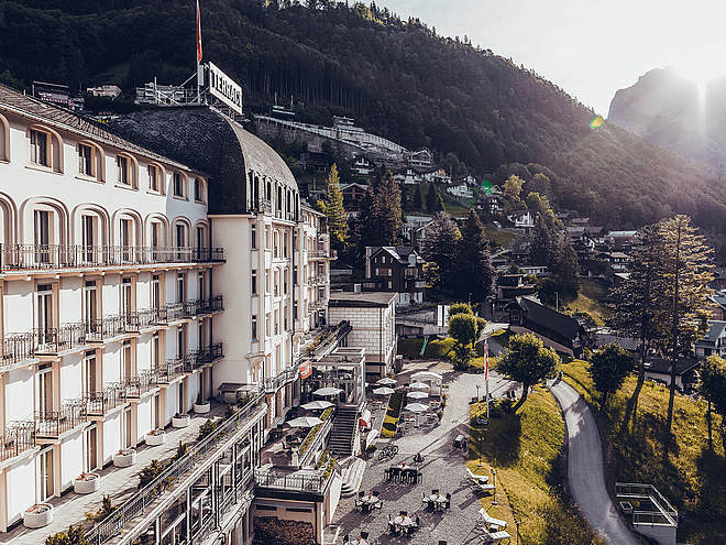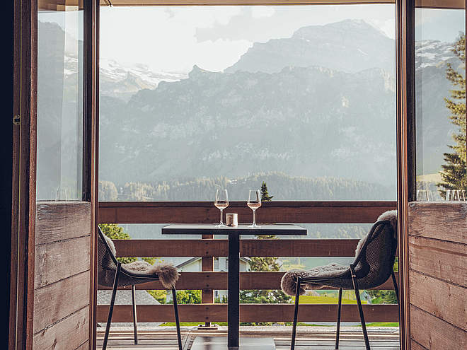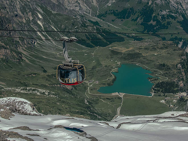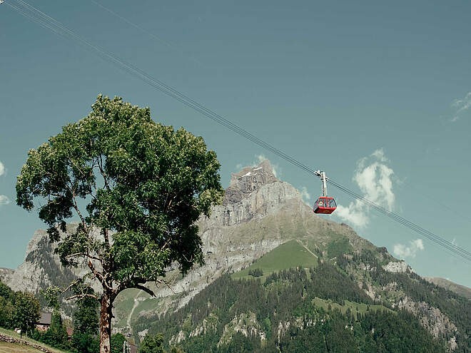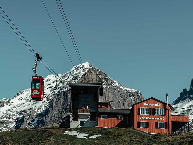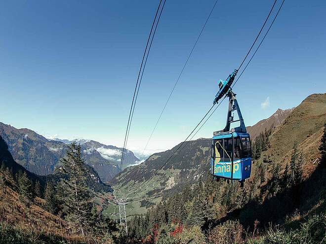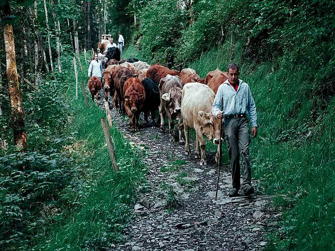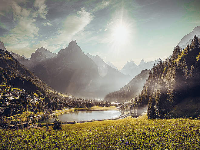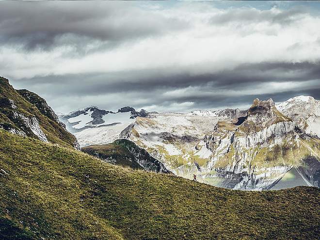
Hiking with far-reaching view, breathing in fresh alpine air, giving your circulation new wellbeing, breathing in the scents of flowers, giving your senses new experiences: Over 500km of hiking trails invite to be discovered.
 recommended route
Multi-day route
Hiking Trail
· Luzern - Vierwaldstättersee
recommended route
Multi-day route
Hiking Trail
· Luzern - Vierwaldstättersee
Nidwalden High Route

Engelberg-Titlis Tourismus Verified partner
-
 The Tannensee.Photo: Theangergod at the German language Wikipedia [GFDL (http://www.gnu.org/copyleft/fdl.html) or CC-BY-SA-3.0 (http://creativecommons.org/licenses/by-sa/3.0/)], from Wikimedia Commons
Author’s recommendation

Engelberg-Titlis Tourismus Verified partner
Derived from the technical difficulty and the stamina requirements.
Track types
Show elevation profileRest stops
Alpine farm BettenalpChalet Gemsy
Tannalp mountain inn
Roadbook
Stage 1: The cable car brings us to the starting point "Eggen." After a short ascent, we reach the Storegg, a mountain pass from Nidwalden to Obwalden. Along the mountain flank and through a wildly rugged karst area, the path continues to Frutt.
Stage 2: Past four beautiful mountain lakes and over the Joch pass leads the way to the monastery village Engelberg. The imposing mountain world with Hochstollen, Glogghuis, and Titlis greets us up close. The long descent to Engelberg can be shortened by cable car.
Stage 3: After the ascent to the Brunni hut at 1860 m, hike on the well-known Walen trail with the magnificent viewpoint Walegg, offering a wonderful view of the central Alps. Around Bannalp lake, a struggle for energy supply took place in the 1930s.
Stage 4: On the Benedict path to Niederrickenbach, where the monastery women's shop sells self-collected alpine herbal tea. Continue along beautiful mountain maple stands to the SAC hut Brisenhaus at the foot of the Brisen.
Stage 5: This stage leads along the well-known “wildlife observation path” along the mountain flanks of Schwalmis and Oberbauen to Niderbauen, respectively to the mountain station of the namesake railway.
Bonistock
Alpine farm Bettenalp
Chalet Gemsy
MountainLakeBeach
Schnuer
Tannensee
Tannensee
Tannalp mountain inn
Saumboden
Bergstation Jochpass
Bärghuis Jochpass
Station Trübsee
Trübsee
Älplerseil
Restaurant Untertrübsee
Engelberg
Bergstation
Berglodge Restaurant Ristis
Via ferrata
Bergstation Sessellift
Berggasthaus Urnestafel
Bannalp/Chrüzhütte/Seilbahn
Niederrickenbach
Heitliberg
Faulberg
Luftseilbahn Emmetten-Niederbauen (1'575 müM)
Emmetten
Public transport
Public-transport-friendly
By train to Obermettlen, then you can take the mountain railwayDirections
A2 to Stans South, then continue on the main road to ObermettlenParking
Very limited availability, recommended to arrive by public transportCoordinates
Equipment
Trekking backpack (approx. 50 liters) with rain cover, sturdy and comfortable footwear, possibly spare shoes/sandals, weather-appropriate and durable clothing in layers, change of clothes, trekking poles, sun and rain protection, provisions and drinking water, first aid kit, pocket knife, mobile phone, headlamp, maps, travel documents, toiletry bag and travel towel, hand-wash detergent and clothesline, possibly camping equipment (tent, sleeping pad, sleeping bag, cooking equipment), possibly hut equipment.Localization
Derived from the technical difficulty and the stamina requirements.
Weather at the starting point
Statistics
The Nidwaldner Höhenweg offers varied hiking on mountain paths with magnificent views. The many connections to mountain railways allow for ...
The Nidwalden High Altitude Route offers varied hiking on mountain trails with magnificent views.