Hiking trails

Hiking with far-reaching view, breathing in fresh alpine air, giving your circulation new wellbeing, breathing in the scents of flowers, giving your senses new experiences: Over 500km of hiking trails invite to be discovered.

Hiking Trailrecommended route

Walenpfad Ristis–Bannalp

Hiking Trail · Switzerland
Logo Engelberg-Titlis Tourismus
Responsible for this content
Engelberg-Titlis Tourismus Verified partner 
  • Photo: Engelberg - Titlis Tourismus, Engelberg-Titlis Tourismus
Hint

Explanation

Selected alternatives for you
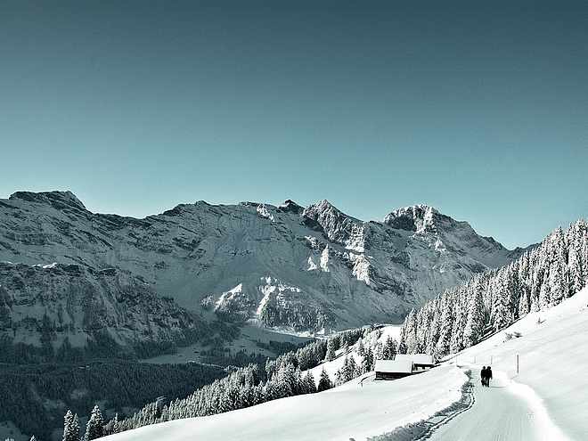
    A magnificent high-altitude hike linking the Brunni and Bannalp regions. Your backdrop: the mountain world of the Walenstöcke massif, with sweeping vistas of the Mittelland. The path begins in meadowland and then gradually becomes more Alpine as you pass idyllic Lake Bannalp.
    moderate
    Distance 11.4 km
    4:00 h
    780 m
    660 m
    1,953 m
    1,598 m

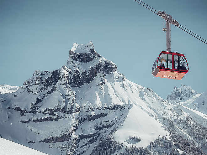
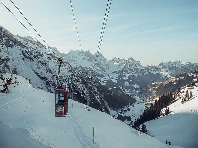
    The route starts at Ristis, which you reach by cable car from Engelberg. You can stop for a bite to eat here before you set out: there is a toboggan run as well as a large children's playground for families. The first section climbs to Lake Härzli near the Brunni hut. You can see medicinal plants in their natural habitat on two medicinal herb trails around Lake Härzli, which is also circled by the "Tickle Path" (Kitzelpfad) – a beautifully designed barefoot trail. With shoes and socks off, you can feel sand, gravel, water or wood chips under your feet.

    After an almost flat section across lush Alpine meadows and forests, a short descent followed by a climb bring you to Walenalp settlement. A barbecue grill with views into the Mittelland invites you to linger. Then comes the longest climb of this tour, up to the Walegg. Your reward: a fabulous view of Lake Bannalp and the surrounding mountains beyond Engelberg Valley. Prominent peaks include Mount Brisen and Buochser Horn. Now your surroundings change dramatically: you hike through wilder scenery with rugged rock faces, scree and craggy peaks. You are about to tackle the precipitous passage through the Walengräben rifts. The path is narrow and you need to be sure-footed, but it is well secured. All that effort makes the view of Lake Bannalp even more stunning!

    Continue downhill to the goat pastures at Oberdorf, another highlight of the tour: sample home-grown products such as goat cheese, meat and yoghurt here. The closing stages are equally pleasant: pass through Oberfeld and Unterstafel, and enjoy stunning views of idyllic Lake Bannalp as you head for Chrüzhütte cable car station. If there's time, pause again at the Bannalp – a real gem of Nidwalden Canton. This pre-Alpine high valley is encircled by mighty peaks. Barbecue grills stocked with wood will tempt you to tarry.

    Profile picture of Engelberg - Titlis Tourismus
    Author
    Engelberg - Titlis Tourismus 
    Update: April 12, 2024
    Difficulty
    moderate
    Overall difficulty
    moderate

    Derived from the technical difficulty and the stamina requirements.

    Experience
    Landscape
    Highest point
    1,953 m
    Lowest point
    1,598 m
    Best time of year
    Jan
    Feb
    Mar
    Apr
    May
    Jun
    Jul
    Aug
    Sep
    Oct
    Nov
    Dec

    Track types

    Asphalt 2.58%Forested/wild trail 13.20%Path 84.20%
    Asphalt
    0.3 km
    Forested/wild trail
    1.5 km
    Path
    9.6 km
    Show elevation profile

    Tips and suggestions

    Start

    Ristis
    Coordinates:
    SwissGrid
    2'673'983E 1'187'285N
    DD
    46.832599, 8.408365
    DMS
    46°49'57.4"N 8°24'30.1"E
    UTM
    32T 454880 5186731
    w3w 
    ///strongman.habits.waiters

    Destination

    Bannalp

    Coordinates

    SwissGrid
    2'673'983E 1'187'285N
    DD
    46.832599, 8.408365
    DMS
    46°49'57.4"N 8°24'30.1"E
    UTM
    32T 454880 5186731
    w3w 
    ///strongman.habits.waiters
    Get there by train, car, bike, or on foot!

    Similar routes nearby

    • Walenpfad - 2 Tages Wanderung Innerschweiz
    • Rugghubelhütte (alt. 2,290m)
    • Panoramapath Ristis - Rigidalalp - Brunnihütte
    • An alternative to the Walen Trail and Benedictine Way
    • Walenstock peaks circular hike
     These suggestions were generated by our system
    Difficulty
    moderate
    Overall difficulty
    moderate

    Derived from the technical difficulty and the stamina requirements.

    Distance
    11.4 km
    Duration
    4:00 h
    Ascent
    780 m
    Descent
    660 m
    Highest point
    1,953 m
    Lowest point
    1,598 m

    Weather at the route's trailhead

    Statistics

    • Content
    • Show imagesHide images
    Features
    Maps and trails
    • 11 Waypoints
    • 11 Waypoints
    • Route
    • Gradient
    Push the arrows to change the view
     km Distance
    : h Duration
     m Ascent
     m Descent
     m Highest point
     m Lowest point