Hiking trails

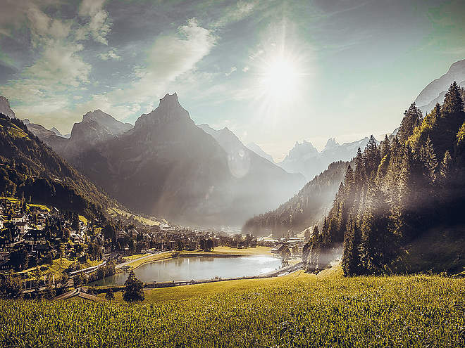
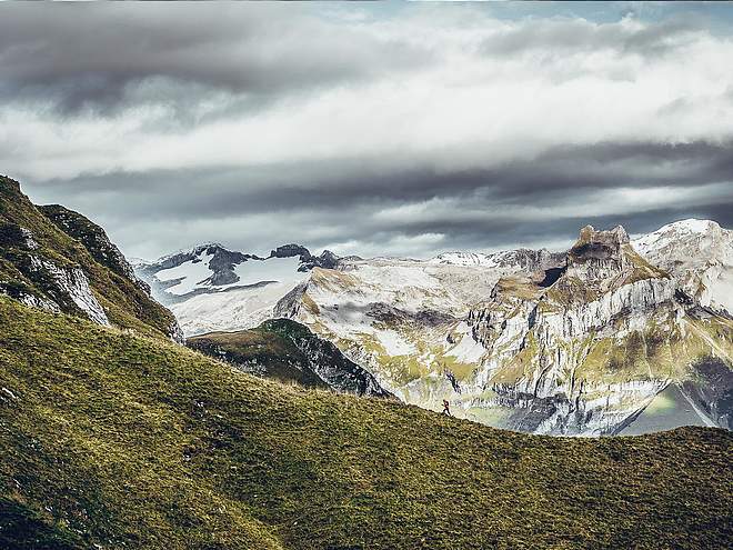
Hiking with far-reaching view, breathing in fresh alpine air, giving your circulation new wellbeing, breathing in the scents of flowers, giving your senses new experiences: Over 500km of hiking trails invite to be discovered.

Theme Trail recommended route Theme Trail

Zwärgliweg Bannalp

Logo Engelberg-Titlis Tourismus
Responsible for this content
Engelberg-Titlis Tourismus Verified partner 
  • Bannalp
    Bannalp
    Photo: Sakrallandschaft Innerschweiz, Pilgerwege Schweiz

Selected alternatives for you
    The Secret of the Sparkling Stone
    easy
    Distance 2.5 km
    1:30 h
    0 m
    145 m
    1,717 m
    1,572 m
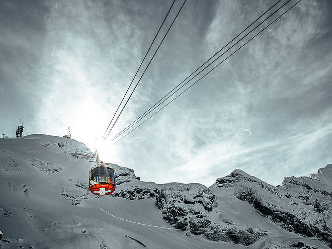
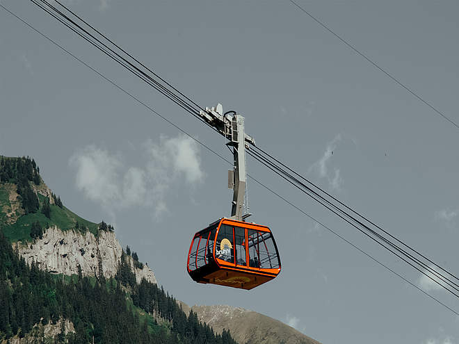
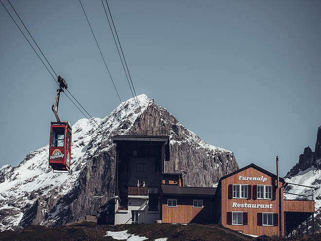
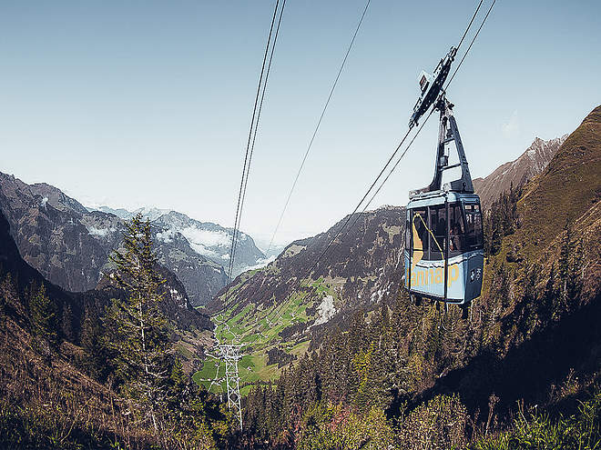
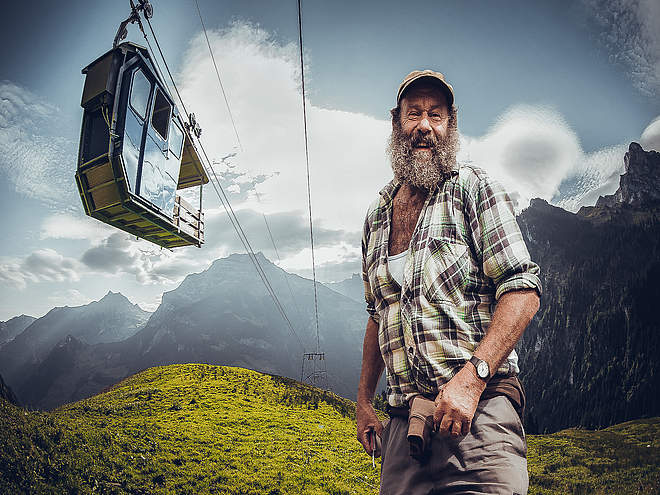
    It was around noon, and the sun was shining brightly over the dwarf village in the mountains. The children were playing and laughing as they do every day around this time. Pina and her friends Timo, Rick, and Lolo were playing hide and seek near the old oak tree. "What is this?" calls Timo, pointing to a red shimmer beneath the moss. Experience the story about the secret of the sparkling stone. The story begins at the mountain station of this aerial cableway and leads you to various places in the Bannalp. Enjoy this magical children's hiking trail in a breathtaking mountain landscape. Lunch on the way is no problem. The Zwärgliweg passes by the fire pits directly on the Bannalpsee. At the mouth of the mountain brook into Bannalpsee, there is a wood supply for the grill pits. Ask at the ticket office for the affordable family tickets. We wish you lots of excitement and a relaxing time at Bannalp.

    Author’s recommendation

    The Zwärgliweg Bannalp is a children's hiking trail with 7 stations. At each station, there is something to discover or admire.

    The book with CD can be purchased at the ticket office of the Fell-Chrüzhütte aerial cableway, Bannalp.

    Profile picture of Engelberg - Titlis Tourismus
    Author
    Engelberg - Titlis Tourismus 
    Logo Engelberg-Titlis Tourismus
    Responsible for this content
    Engelberg-Titlis Tourismus  Verified partner 
    Difficulty
    T1 easy
    Overall difficulty
    easy

    Derived from the technical difficulty and the stamina requirements.
    Experience
    Landscape
    Highest point
    1,717 m
    Lowest point
    1,572 m
    Best time of year
    Jan
    Feb
    Mar
    Apr
    May
    Jun
    Jul
    Aug
    Sep
    Oct
    Nov
    Dec

    Track types

    Asphalt 8.61%Forested/wild trail 53.91%Path 37.47%
    Asphalt
    217 m
    Forested/wild trail
    1.4 km
    Path
    943 m
    Show elevation profile

    Rest stops

    Alpwirtschaft Kreuzhütte
    Berggasthaus Bannalpsee

    Safety information

    Since the entire Zwärgliweg runs over natural paths, it is not recommended to use a stroller.

    Tips and suggestions

    The story was created by the Gesamtschule Oberrickenbach and has been made available free of charge to the Bannalp region for the Zwärgliweg.

    Roadbook

    Der Zwärgliweg startet auf der Bannalp und führt über rund 3 Kilometer durch die Berglandschaft. Unterwegs warten sieben Rätselstationen, an denen Kinder Bannalpi auf seinem Abenteuer begleiten. Die reine Marschzeit beträgt rund 90 Minuten ohne Postenhalt.
    Rest stop
    Tip
    Nearby
    Top Partner
    Waypoint
    Start point
    End point
    Low point
    High point
    Forecast
    Today {low} to {high} and {precipitation} of {precipitation_type}
    show {x} more
    Photo
    Video
    Bannalp/Chrüzhütte/Seilbahn
    Alpwirtschaft Kreuzhütte
    Bannalp Dwarves Trail barbecue spot, Wolfenschiessen
    Bannalp
    Bannalpsee
    Berggasthaus Bannalpsee
    Bergbahnstation Bannalpsee
    Bannalpsee

    Public transport

    This hike is located in the Bannalp area. The Wolfenschiessen-Bannalp area can be reached in about 15-20 minutes by car or by public transport from Engelberg.

    Directions

    This hike is located in the Bannalp area. The Wolfenschiessen-Bannalp area can be reached in about 15-20 minutes by car or by public transport from Engelberg.

    Parking

    Parkmöglichkeiten befinden sich bei der Talstation der Luftseilbahn Fell–Chrüzhütte in Oberrickenbach.

    Coordinates

    SwissGrid
    2'675'992E 1'191'657N
    DD
    46.871702, 8.435430
    DMS
    46°52'18.1"N 8°26'07.5"E
    UTM
    32T 456975 5191061
    w3w 
    ///dispenser.tenure.flicked
    Get there by train, car, bike, or on foot!

    Equipment

    Empfohlen werden gute Schuhe, wetterangepasste Kleidung, Sonnen- oder Regenschutz sowie etwas zu trinken. Für Familien lohnt sich zusätzlich genügend Zeit für die Rätselstationen und eine Pause unterwegs.

    Localization

    Parts of this content were machine translated using German as the source language

    Similar routes nearby

    • BUIRÄBÄHNLI SAFARI Stage 3
    • Kitzelpfad
    • Barefoot Hiking Trail Brunni
    • BUIRÄBÄHNLI SAFARI Stage 2
    • Globi's Treasure Hunt
     These suggestions were generated by our system
    Difficulty
    T1 easy
    Overall difficulty
    easy

    Derived from the technical difficulty and the stamina requirements.
    Distance
    2.5 km
    Duration
    1:30 h
    Descent
    145 m
    Highest point
    1,717 m
    Lowest point
    1,572 m
    Linear route Refreshment stops available Family-friendly

    Weather at the starting point

    10-day forecast

    Statistics

    • Content
    • Show images Hide images
    Features
    Maps and trails
    Nothing selected - click and drag in the elevation profile to zoom
    Distance
    Duration
    Ascent
    Descent
    Elevation profile