Theme hikes
Excitement, adventure and perhaps learning one or two things at the same time? This can be found on the theme trails around Engelberg. Go on a treasure hunt on Brunni or Trübsee or enjoy nature under your feet on the barefoot trail.
Trübsee alpine flower route - Obertrübsee

Responsible for this content
Engelberg-Titlis Tourismus Verified partner
Engelberg-Titlis Tourismus Verified partner
Selected alternatives for you
On the Trübsee alpine flower route, you walk leisurely from the Trübsee mid-station along the lake to Obertrübsee.
easy
Distance 2.5 km
0:40 h
0 m
89 m
1,800 m
1,711 m
The mountain plants are exposed to extreme living conditions in the alpine mountain world. At higher altitudes, summer is very short and the plants have little time to bloom. On the newly created alpine flower educational routes at Gerschnialp and Trübsee, visitors learn about various alpine flower species and their living conditions in an uncomplicated way. Surrounded by an impressive alpine mountain and glacier world, hikers can inform themselves about the alpine flowers found here using yellow panels.
Author’s recommendation
On each flower panel, you will find a 9-digit number code. An information sheet explaining the meaning of the codes is available in the flyer "Code key".
Author
Engelberg - Titlis Tourismus
Responsible for this content
Engelberg-Titlis Tourismus Verified partner
Engelberg-Titlis Tourismus Verified partner
Difficulty
easy
Overall difficulty
easy
Derived from the technical difficulty and the stamina requirements.
Experience
Landscape
Highest point
1,800 m
Lowest point
1,711 m
Best time of year
Jan
Feb
Mar
Apr
May
Jun
Jul
Aug
Sep
Oct
Nov
Dec
Track types
Show elevation profileTips and suggestions
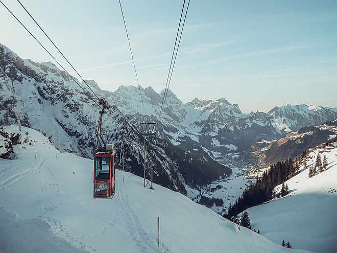
You can also combine both alpine flower routes. Either walk the stretch Obertrübsee–Untertrübsee on foot or take the cable car "Älplerseil". The ticket for the ride with the "Älplerseil" is included in the Engelberg–Trübsee mountain railway return ticket.Coordinates
SwissGrid
2'673'277E 1'182'939N
DD
46.793591, 8.398417
DMS
46°47'36.9"N 8°23'54.3"E
UTM
32T 454088 5182402
w3w
///headset.crabmeat.pods
Get there by train, car, bike, or on foot!
Localization
Parts of this content were machine translated using German as the source language
Difficulty
easy
Overall difficulty
easy
Derived from the technical difficulty and the stamina requirements.
Distance
2.5 km
Duration
0:40 h
Descent
89 m
Highest point
1,800 m
Lowest point
1,711 m
Weather at the starting point
Statistics
Maps and trails
Nothing selected - click and drag in the elevation profile to zoom
Distance
Duration
Ascent
Descent


