Theme hikes
Excitement, adventure and perhaps learning one or two things at the same time? This can be found on the theme trails around Engelberg. Go on a treasure hunt on Brunni or Trübsee or enjoy nature under your feet on the barefoot trail.
Brunnipfad

Engelberg-Titlis Tourismus Verified partner
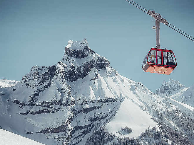
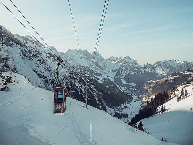
The starting point of the panorama circular hike is the mountain station Ristis of the Brunni railways. This is easily accessible from the Engelberg train station by the free summer bus and the Brunni cable car. The 7 km long and well-developed nature trail leads from Ristis to the right towards Rigidalalp and further to the Brunnihütte. On this section of the path, besides the nature information panels, you will also find clues for the "Globi treasure hunt." This family fun can be explored with a special treasure map. Help Globi find the treasure – you will be rewarded at the end of the hike for your assistance. All information and the treasure map are available at the Ristis mountain station. For all other hikers, keep an eye out over the flowery alpine meadows. Over 100 plant species are described on the signs along the panorama trail.
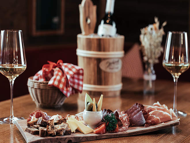
Upon arrival at the Brunnihütte, in addition to the magnificent view of the Titlis and the Hahnen, the Härzlisee awaits tired feet. Around the lake, a Kneipp course, the Kitzelpfad, is set up. Take off your shoes and dive into the Kneipp pleasure. Surely the second part of the circular hike will feel lighter on the feet. Don't miss stopping at the Brunnihütte; just reading the menu will make your mouth water. Whether rustic Swiss specialties like rösti and alpine cheese or the homemade fruitcake – a rest is worthwhile.
Freshly strengthened, the return journey begins. The path stays level until Rosenbold. Upon reaching the viewpoint, it is worth readying your camera and taking a look at the sign describing the surrounding mountain world. Such a panorama is not an everyday sight. From there, it goes only downhill until the end of the circular hike, the Berglodge Ristis, is reached. From there, return to the village is by cable car and from the valley station Brunni by free local bus to the train station.
Note: The Engelberg – Ristis route can also be walked on foot.
Engelberg-Titlis Tourismus Verified partner
Derived from the technical difficulty and the stamina requirements.
Track types
Show elevation profilePublic transport
National and international connections (from Zurich Airport connections every half hour with about 1h travel time) to Lucerne. Then with the Zentralbahn in 43 minutes through a varied landscape and gorges up to Engelberg.Directions
By car, take the A2 (Basel-Gotthard) to Stans Süd, then on the main road 20 km to Engelberg. Engelberg is 30 minutes from Lucerne, 1 hour and 15 minutes from Basel, Zurich, or Bern.Parking
Parking is available in Engelberg for a fee.Coordinates
Localization
Derived from the technical difficulty and the stamina requirements.


