Theme hikes

Excitement, adventure and perhaps learning one or two things at the same time? This can be found on the theme trails around Engelberg. Go on a treasure hunt on Brunni or Trübsee or enjoy nature under your feet on the barefoot trail.

Theme Trailrecommended routeStage1

BUIRÄBÄHNLI SAFARI Stage 1

Theme Trail · Canton of Obwalden
LogoEngelberg-Titlis Tourismus
Responsible for this content
Engelberg-Titlis Tourismus Verified partner 
  • Photo: Engelberg - Titlis Tourismus, Engelberg-Titlis Tourismus

Selected alternatives for you

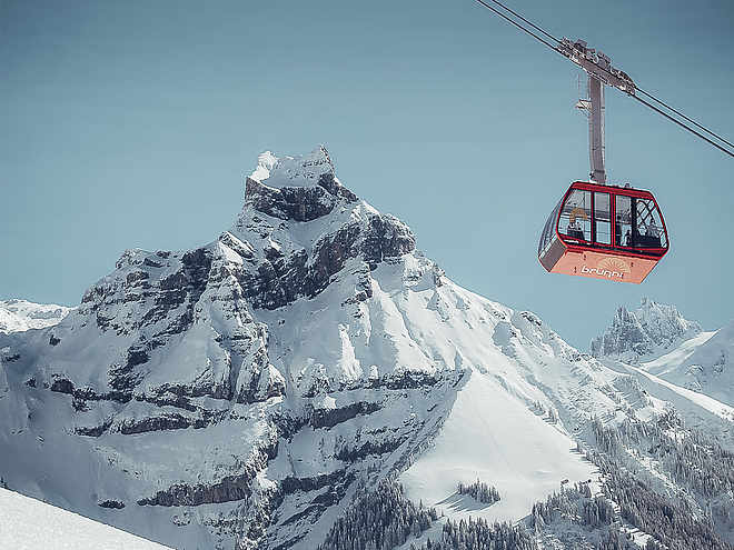
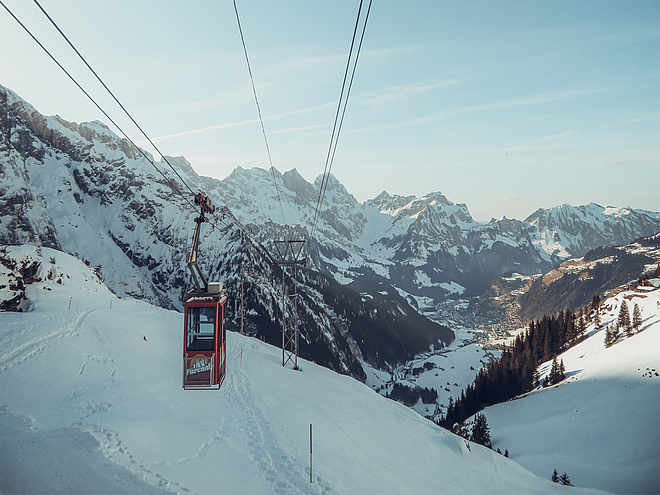
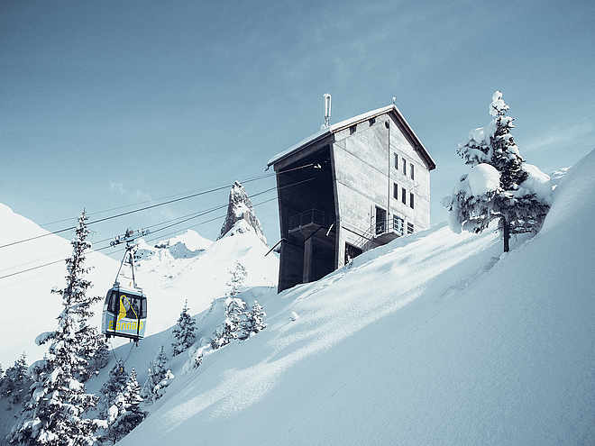
    The complete multi-day Buiräbähnli Safari takes 17.30 hours (pure hiking time) and promises impressive nature moments, authentic encounters, and nostalgic cable car experiences on every stage. Stage 1 leads from Engelberg via Lutersee to Wolfenschiessen. 

    difficult
    Distance 20.9 km
    6:00 h
    1,367 m
    1,858 m
    1,747 m
    513 m

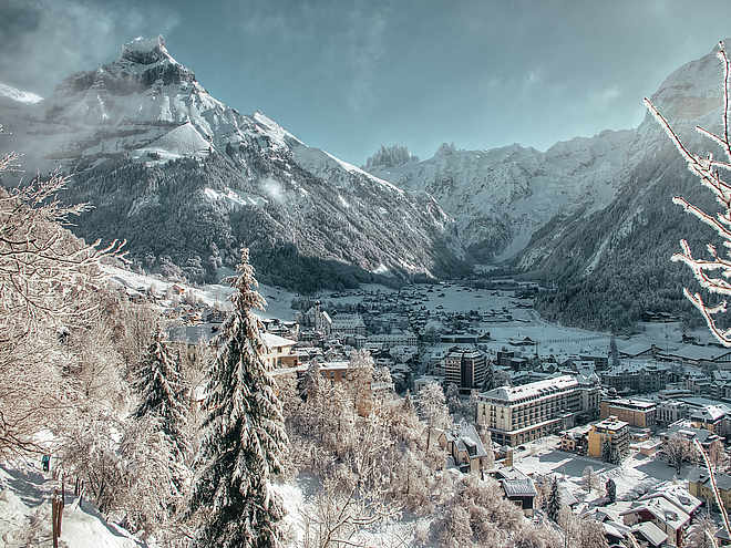
    This stage starts directly at Engelberg station – and soon it is time to immerse yourself in a world full of nature, views, and authenticity.

    Via Zingel and the idyllic Lutersee, you hike up to Eggendössli before the first Buiräbähnli (Rugisbalm) safely takes you down to Grafenort.

    From here follows a comfortable section along the Engelberger Aa to the valley station of the Bielenbahn, which takes you directly up to the Alp Bielen.

    The hiking trail now leads gently downhill via Schwand to Diegisbalm – and if you still have energy, you can make a short detour to the Oberalp. The Buiräbähnli there run according to your mood – you can decide whether to go there or back.

    The last cable car section of this day takes you down to Wolfenschiessen. From here, a short walk along the Aa leads directly to the village center.

    Author’s recommendation

    In the village center of Wolfenschiessen, the charming Hotel Alpina Einhorn, the official Buiräbähnli Safari hotel, is waiting for you. The rooms are lovingly named after the cable cars – perfect for arriving, relaxing, and getting ready for the next stage.

    Profile picture of Engelberg - Titlis Tourismus
    Author
    Engelberg - Titlis Tourismus 
    LogoEngelberg-Titlis Tourismus
    Responsible for this content
    Engelberg-Titlis Tourismus  Verified partner 
    Difficulty
    difficult
    Overall difficulty
    difficult

    Derived from the technical difficulty and the stamina requirements.

    Experience
    Landscape
    Highest point
    1,747 m
    Lowest point
    513 m

    Track types

    Lift/cableway 18.63%Unknown 81.36%
    Lift/cableway
    3.9 km
    Unknown
    17 km
    Show elevation profile

    Tips and suggestions

    Coordinates

    SwissGrid
    2'673'554E 1'185'801N
    DD
    46.819298, 8.402513
    DMS
    46°49'09.5"N 8°24'09.0"E
    UTM
    32T 454422 5185257
    w3w 
    ///scorecard.seemingly.good
    Get there by train, car, bike, or on foot!

    Localization

    Parts of this content were machine translated using German as the source language

    Similar routes nearby

    • BUIRÄBÄHNLI SAFARI
    • Alpine cheese trail stage Untertrübsee/Gerschnialp
    • Alpine Cheese Trail Stage Blackenalp
    • Alpine Cheese Trail
    • Alpine Cheese Trail Brunni section
     These suggestions were generated by our system
    Difficulty
    difficult
    Overall difficulty
    difficult

    Derived from the technical difficulty and the stamina requirements.

    Distance
    20.9 km
    Duration
    6:00 h
    Ascent
    1,367 m
    Descent
    1,858 m
    Highest point
    1,747 m
    Lowest point
    513 m
    Refreshment stops available Multi-stage route Family-friendly

    Weather at the starting point

    10-day forecast

    Statistics

    • Content
    • Show images Hide images
    Features
    Maps and trails
    Nothing selected - click and drag in the elevation profile to zoom
    Distance
    Duration
    Ascent
    Descent
    Elevation profile